Victoria City Parks Signage
Technical design standards and implementation guidelines for various types of park signage, including regulatory, interpretive, and wayfinding elements.
3.2 Park Signs
- SIGN CAP FASTENED WITH COUNTERSUNK TAMPER-PROOF HARDWARE SECURES PANELS BELOW; PAINTED WHITE.
- 3mm ALUMINUM PANEL, PAINTED BLACK; WRAPPED WITH GRAPHIC FILM; MATTE FINISH GRAFFITI-RESISTANT OVERLAMINATE: 3M SCOTCHGUARD GRAPHIC AND SURFACE PROTECTION FILM 8991 OR SIMILAR
- NB: DIMENSIONS ARE SHOWN AT RECOMENDED SIZES FOR AMENITY/REGULATORY ICONS. SEE MESSAGING LAYOUT DETAIL FOR ALTERNATE CONFIGURATIONS.
- 30 x 80mm RECTANGULAR TUBE, PAINTED BLACK
- 80 x 140mm RECTANGULAR TUBE, CAPPED AT TOP OPPENING; GRIND AND SMOOTH ALL JOINS; PAINT ACCENT GREEN; CITY LOGO, ENGRAVED AND PAINT-INFILLED WHITE
- TEXT, ENGRAVED AND PAINT-INFILLED; PARK NAME, INFILLED WHITE; LEKWUNGEN NAME, INFILLED 75% ACCENT GREEN
- PANELS SET IN PLACE WITH PIN AND NOTCH SYSTEM. SECURED BY SIGN CAP ABOVE.
Regulatory Post
- SIGN CAP WITH COUNTER-SUNK FASTERS; EDGES EASED AND SMOOTHED; PAINTED E1
- MOUNTING PINS SPOT WELDED TO HSS FRAME
- MESSAGING PANELS: U-CHANNELS WITH RETURNS NOTCHED TO ALIGN WITH MOUNTING PINS; PAINT E4; APPLY CUT VINYL AND ANTI-GRAFITTI COATING; INSTAL ON MOUTING
- ASSEMBLE 3mm LOWER PANELS AND AFFIX WITH 3M™ SCOTCHWELD™ ADHESIVE OR EQUIVALENT; GRIND AND SMOOTH SEAMS; MASK AND PAINT E2
Interpretive Signs
The interpretive sign implementation for City Parks is designed to accommodate removable graphic panels in three standard sizes which may be removed and taken off-site for maintenance and updates.
Usage
Interpretive signs may be used following standards outlined by the City of Victoria Communication Guidelines. In general, the content and design of interpretive signs is defined by these existing guidelines. In the interest of establishing a consistent visual language for City Parks, it is recommended, that interpretive signs make use of the visual language of the city wayfinding system, including park/neighbourhood/lekwungen naming standards.
Additional Info
City of Victoria: Interpretive Signage Guidelines
Layout Details
The subject matter and appearance of interpretive content may vary widely between signs. To visually connect these signs to the wider system and official city signage in general, all interpretive signs are intended to have a standard header and footer. The additional content placed between these components may be developed at the City’s discretion, however some base example layouts can be found on the following pages. Used as a foundation these layouts are intended to maintain a common visual style between interpretive elements even as the specific content remains diverse.
Large Interpretive Panel (1,219mm x 762mm)
BEACON HILL PARK miqən
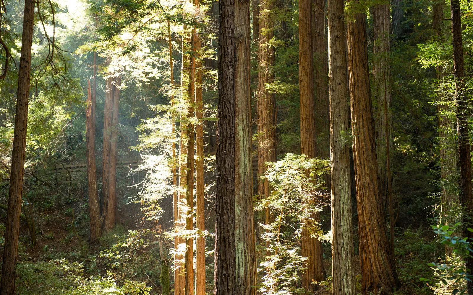
Giants Rooted Among Us Gaze up into a giant sequoia. Let your imagination soar. Fully grown, they are the largest living things on the planet. Their ancestors stood among the dinosaurs. Today, the giant sequoia is found naturally in fewer than 100 groves in the Sierra Nevada Mountains of California. Giant sequoias were planted in Beacon Hill Park. Look for them behind you, along Circle Drive and just off the Goodacre Lake path.
- Living reminders of early Victoria
- Shaped by Fire
- Giant Sequoia Facts
- Did You Know?
- A Fine Balance


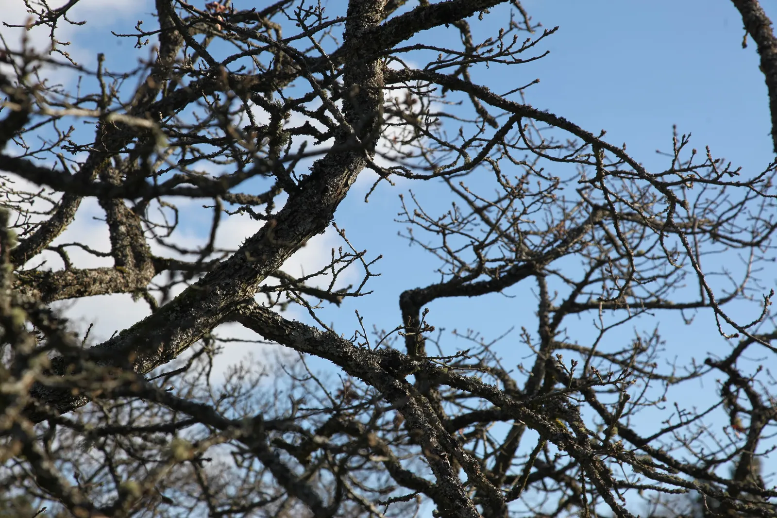

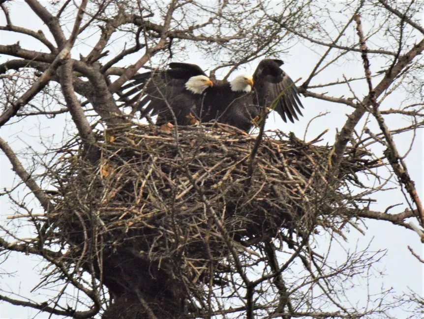
This layout is based on a simple grid with a single high-impact image to anchor the visual narrative. Because these signs will typically be presented at a 15° angle most content should be aligned along the bottom of the panel to allow for easier reading. To avoid a cold institutional tone, panels should incorporate a variety of elements and layouts within the grid structure, using imagery, breakout elements and pull quotes (eg: “Did you know”) to enliven visual presentation.
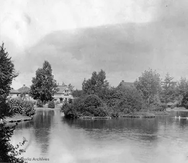
NB: The images included in this example are for demonstration purposes only. They are neither licenced nor optimized for large format printing. If a suitable replacement image is not on hand comparable images may be obtained under academic licences for educational use, from Victoria City Archives, or as stock photography.
Medium Interpretive Panel (610mm x 915mm)
BEACON HILL PARK miqən
The Natural World A multitude of flying, paddling, ambling, burrowing and creeping wild creatures make Beacon Hill Park their home. Despite urban encrochment, native wildlife and habitats persist, creating a number of unique micro ecosystems. Seven distinct plant communities exist in the park, including the fragile Garry oak ecosystem, and more than one hundred bird species live here.
Protecting the natural world of Beacon Hill Park is assisted by local environmental groups. Friends of Beacon Hill Park formed in 1989 to promote and protect the natural and cultural history of the park and it’s surrounding environment. Victoria Natural History Society has identified portions of the park as ecologically sensitive. These groups engage in conservation activities such as habitat restoration, invasive species removal, and animal and plant surveys.


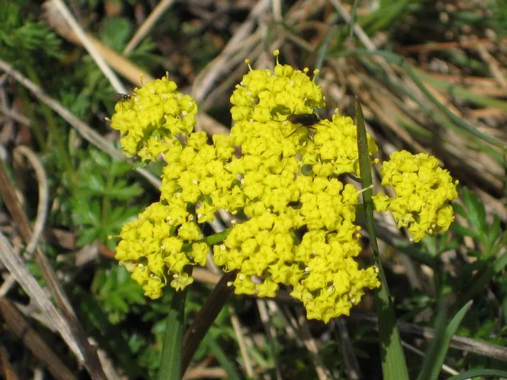


The medium interpretive panel may be laid out with the same elements as the large panel, however where the content includes a large number of images with relatively little text and alternate layout may be used. The circular elements within this layout maintain alignment within the grid structure. These may be used as the basis for the layout, as with this example or as an accent to a primarily rectangular design.
NB: The images included in this example are for demonstration purposes only. They are neither licenced nor optimized for large format printing. If a suitable replacement image is not on hand comparable images may be obtained under academic licences for educational use, from Victoria City Archives, or as stock photography.
Technical Specifications for Interpretive Signs
- INTERPRETIVE GRAPHIC PANEL: 6mm ALUMINUM, ACCENT GREEN; DIRECT EMBED OR VINYL GRAPHIC SUBSTRATE; R GRAFFITI-RESISTANT OVERLAMINATE: 3M SCOTCHGUARD GRAPHIC AND SURFACE PROTECTION FILM 8991, OR EQUIVALENT
- M6 CSK BARREL NUT ADHERED TO BOTTOM OF 12mm ALUMINUM PANEL WITH 3M SCOTCH-WELD METAL BONDING ADHESIVE OR EQUIVALENT
- STEEL ANGLE WELDED TO HSS FRAME
- ALIGN AND WELD THREADED ROD TO INTERPRETIVE PANEL FOR REMOVAL AND RE-INSTALLATION
- WELD PANEL ANCHOR PLATE TO HSS POST AT 15°
- WELD HSS FRAME AT 15° WITH MITER JOINT
- PAINT ANCHOR-BOLTS TO MATCH FINISH OF SIGN FRAME ONCE INSTALLED.
- ANCHOR BOLT AND SIGN BASE REQUIREMENTS TO BE DETERMINED BY STRUCTURAL ENGINEER BASED ON ASSESSMENT OF SITE-SPECIFIC CONDITIONS.
3.5 Wayfinding Sign Types in City Parks
Thin Pylon
The construction, colour palette and usage of wayfinding pylons should not change when used in the context of City parks. However, if a pylon sign is used in a location where a particular park—or series of parks, as can be found along many public pathways—is particularly important to the wayfinding context, detailed park maps are recommended. In situations where many of the most logical routes between common destinations involve the use of park walkways, those walkways become some of the most important reference points for the map to contain.
In the interest of efficiency, park maps may be generated on an as-needed basis. As detailed park maps are developed those assets should be used and maintained consistently as part of the city wayfinding standards.
Additional Info City of Victoria Wayfinding Strategy, pp.30-31, 74-81
Finger Boards
This sign type is the simplest and most flexible available in the signage toolbox for City Parks and the Citywide Wayfinding system. Within City Parks finger board signs may be adapted for use as general purpose regulatory or information signs. Standard sizes and layouts should be maintained as much as possible, however unique panel sizes and layouts may be adopted as required for specific cases. Refer to the Citywide Wayfinding guidelines for directional fingerboard standards and to the City of Victoria Communication Guidelines for regulatory signage standards.
If multiple fingerboards are being used at a single location, consider using an alternate sign type such as the Regulatory Stack, or the Directional / Regulatory sign.
NB: The convention of using type sizes in functions of 12.5mm for regulatory signage may be maintained while using Citywide Wayfinding type faces. For Tisa Pro Bold, 50pt = 12.5mm; for Clearview Text Medium, 53pt = 12.5mm.
Additional Info City of Victoria Wayfinding Strategy, p.45, 104-105 City of Victoria: Communication Guidelines pp.37-49
Flag Sign
In terms of content and usage, the flag sign may be considered identical to a Finger Board. A Flag Sign should be considered if there is either no suitable location for a fingerboard at the required signing location, or there is a need to emphasize the sign by placing it at a key point along a pathway or at a particular boundary.
If using the Flag Sign as a directional wayfinding sign, City Park accent colours and finishes may be used. Refer to the City of Victoria Wayfinding Strategy (pp.42-43) for content and placement guidelines.
Additional Info City of Victoria Wayfinding Strategy, p.42-43, 99-103 City of Victoria: Communication Guidelines pp.37-49
Finger Post
The Finger Post is a dedicated wayfinding sign intended to support other wayfinding signs at key decision points along the path between a sign and the indicated destination. As such, it is expected that this sign would only be used in particularly large parks with multiple major destinations. Destinations within the park may be signed with City Parks accent colours. Any blades indicating destinations outside of the park should retain the Citywide Wayfinding standards.
Additional Info City of Victoria Wayfinding Strategy, p.36-37, 95-98
04 MAPPING FOR CITY PARKS
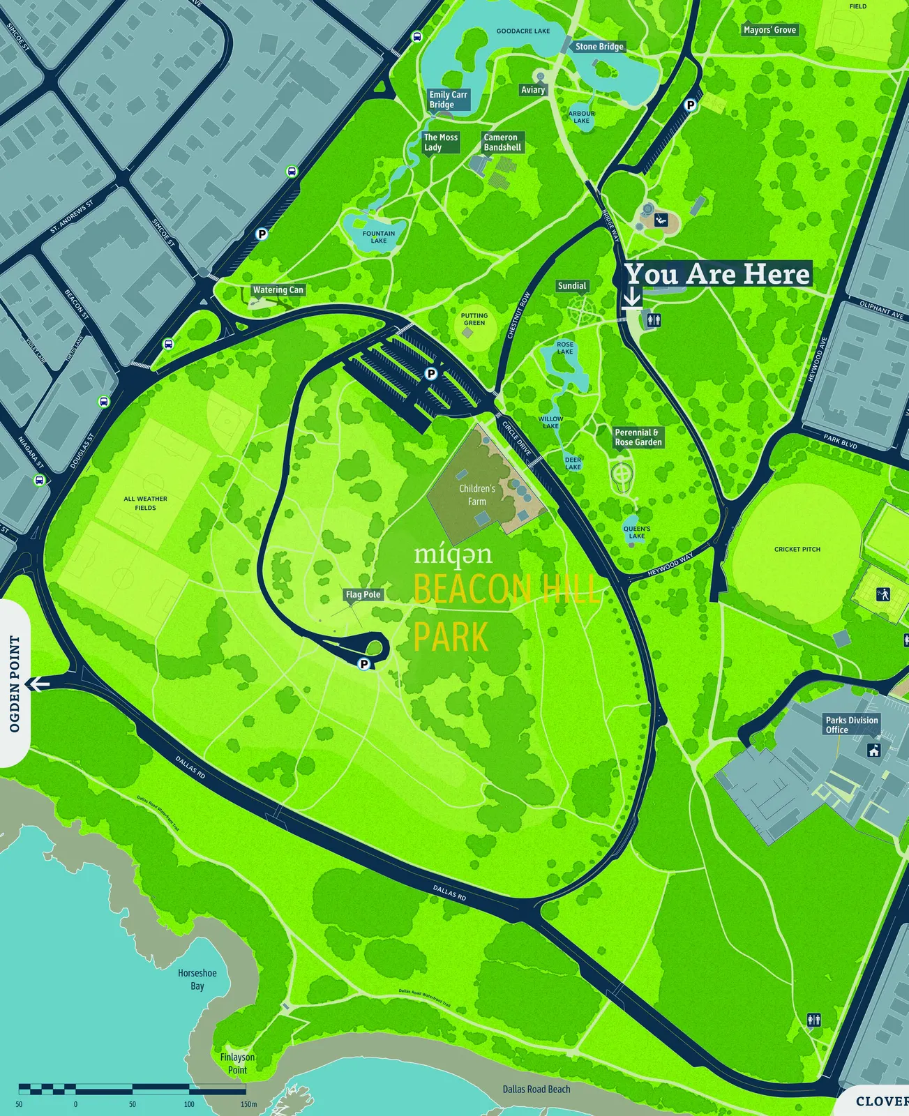
Parks and public green spaces provide a shift in focus from routes and destinations to activities and natural topographies. The mapping styles for city parks reflect that distinction by showing the natural characteristics of those spaces.
4.0 Overview
Specialized park maps
There are two main purposes for mapping city parks. One is to communicate area specific regulatory information. In this case, a simplified map style is ideal, however there should be enough visual information that the limits of any area displayed can be clearly associated with physical points of reference.
The other purpose for city park maps is to provide points of reference for attractions throughout the space. This could be anything from, “alright, if I stay on this path, the playground will be up there on the left”, to “what looks like a good place to set up our picnic”. To that end, the design on maps for city park directory signs aims to provide qualitative information about the character of the park as much as it does to facilitate wayfinding throughout the area.
4.1 Map Styles
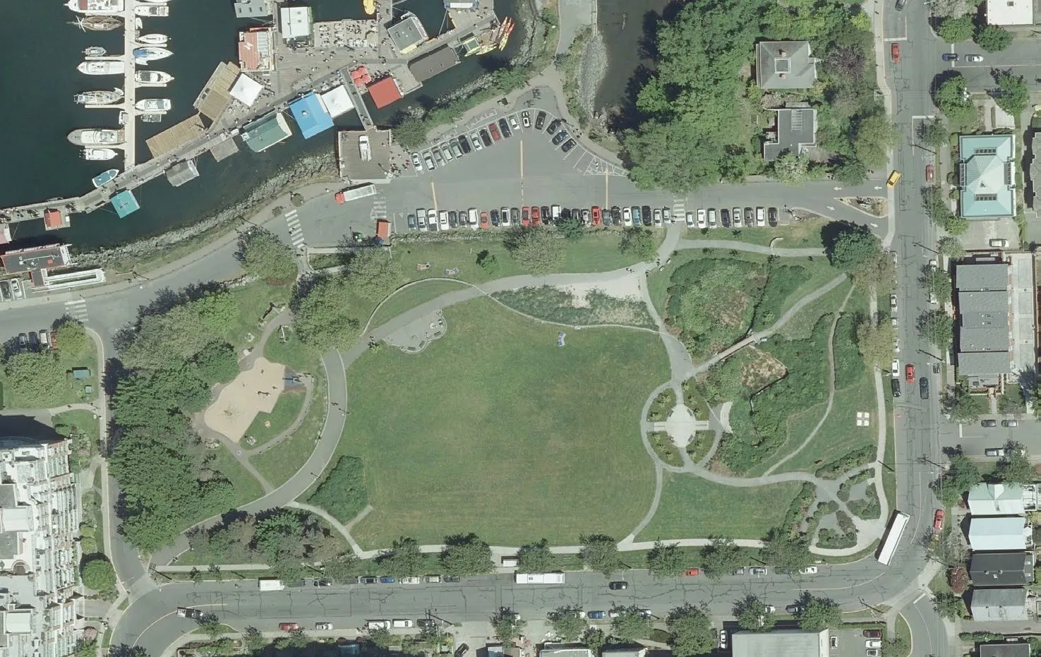
In general public green spaces are much more open than other city environments, with barriers created by landscaping features rather than by street intersections and property lines. The topography of even a relatively small park departs significantly from that of regular city streets and sidewalks. Topographically detailed maps for city parks serve both to communicate which areas are traversable and which are obstructed, while also providing information about the character of different spaces by distinguishing between open fields, cultivated gardens, or densely wooded areas.
| Map Type | Usage | Content |
|---|---|---|
| BASE INFO | This is the level of detail used by city wayfinding maps, where parks are typically indicated by solid green. | Data from detailed walking maps as per citywide wayfinding. Additional Info: City of Victoria Wayfinding Strategy, pp.46-53 |
| SIMPLE TOPOGRAPHIC | Simplified park maps should be used when accompanying regulatory signage. | Remove any details and labels unrelated to the regulatory information the map is intended to support. |
| DETAILED TOPOGRAPHIC | This map style is intended to specifically identify and characterize the areas of a park. It is for use with the park directory sign (or possibly thin pylon signs adjacent to a city park). | The addition on all official pedestrian pathways is the critical wayfinding component for park maps. Additional details include: wooded areas, significant rocky outcroppings and topographic shading for areas with significant elevation changes. Sporting fields, playgrounds and details for unique structures or features may be developed as needed. |
Base Layer
The base layer for detailed city park maps is identical to the styles defined by the City of Victoria Wayfinding Strategy. Depending on the quality of available mapping data refinements of park and sidewalk forms may be required to prepare the base map for additional layering of park detail.
4.2 City Park Map Elements
Topographic Park Details
Different parks throughout the city of Victoria have varying levels of detail and topographic characteristics. Unlike city wayfinding maps, the purpose of these details is to communicate a sense of the landscape, not to be 100% accurate. The implementation of these details may be tailored to suit individual parks. Small, or relatively simple parks may have greater detail added to provide more points of reference, while complex areas may be simplified to avoid confusion. Provided the details that are included conform to the styles provided, the result should be a consistent visual language across all park maps.
It is assumed park details will be generated through a combination of adapting existing GIS data or overlaying aerial photography on the plan to add additional detail as required. Familiarity with layer organization and object grouping in Adobe Illustrator will be very helpful in implementing a consistent appearance for park maps. Illustrator files will be provided with object grouping, layer arrangement, and graphic styles pre-set for editing existing maps or creating new ones.
*Topography While many map elements are obtained directly from GIS data or individually drawn, topographic elevation lines may be used selectively. Where elevation becomes a significant factor within a park choose the lines which best communicate the topography of that particular area. It is recommended that only four additional levels of elevation be drawn to prevent washed out highlight areas.