This site is in beta — data may be incomplete and features are still being added.
Committee of the Whole/Documents/Attachment 2 Air photo
Appendix

Attachment 2 Air photo

December 14, 2021Page 1801 section

An aerial photograph highlighting the specific development site boundaries at 167, 169, and 171 Island Highway.

2. APPROVAL OF AGENDA (motion to approve)
167, 169, 171 Island Highway

Attachment 2

Air photo
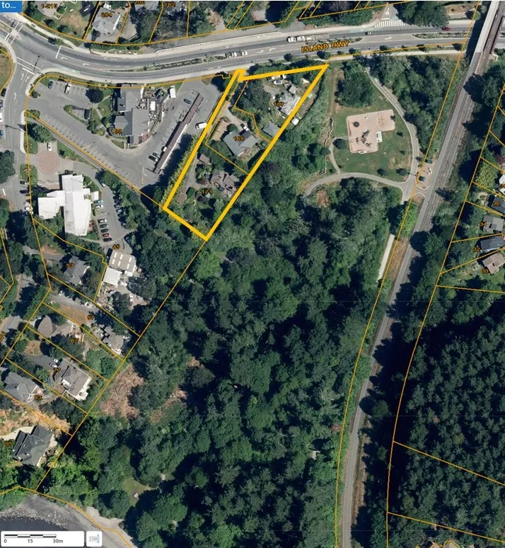
Aerial photograph showing a property outlined in yellow, located near Island Hwy and adjacent to a wooded area and park.
Page 180
Extracted from: 2021 12 14 Committee of the Whole Agenda - Agenda - Pdf