Preliminary Storm Water Management Plan – OnPoint Project Engineers (Attachment 5)
Technical memo and sketches outlining the proposed strategy for managing site drainage and storm water runoff.
File: 172-01
October 23, 2019
Victoria Highland Games Association 2952 Henderson Road Victoria, BC V8R 5M3
Attention: Jim Maxwell
Reference: Craigflower Hall – Environmental Development Permit Preliminary Storm Water Management Plan
This technical memo, prepared for a proposed development in the Town of View Royal on the Craigflower Manor property, presents the preliminary storm water management plan to comply with relevant municipal bylaws. The proposed development will be at the corner of Admirals Road and Island Highway near the Gorge Waterway.
References
The following resources were referenced;
- Town of View Royal Subdivision and Development Servicing Bylaw
- Town of View Royal Subdivision and Development Servicing Bylaw – Supplementary Design Guidelines
- CRD Contour Map for Property #104
Pre-Development Conditions
The current property consists of an impermeable asphalt parking lot covering 870m² and an open field area of approximately 3,662 m². The parking lot drains to a single catch basin located in the eastern corner of the property. There is no other storm drainage infrastructure on the property other than the single parking lot catch basin.
The property slopes West to East as shown in Drawing Sketch 1, taken from the CRD web map, with a gradual slope of approximately 6% throughout the field area dropping from an elevation of about 10m to an elevation of 4m. Any overland runoff flows onto the surface of the existing parking lot which is graded between 2-3% towards the catch basin in the east corner near Admirals Road Bridge. The catch basin connects to a 200mm PVC SDR35 leader that feeds into the 600mm PVC SDR35 storm main running under Admirals Road. The storm main discharges under Admirals Bridge into the Gorge Waterway and out to the ocean. There are currently no controls in place to improve the quality of runoff from the parking lot.
Post Development Conditions
The development of the site will result in an expanded parking lot and the addition of a circular building. The expanded parking lot will add 1,063m² of additional impermeable surface to the site. The roof of the proposed building will add roughly another 1,000m² of impermeable concrete. The Town of View Royal Bylaw No. 985 states the proposed developed site must maintain post development flows to predevelopment levels. Thus, the additional storm runoff from the expanded parking lot and proposed building will be detained and released at a controlled rate for storms consisting of a 10-year return period and less.
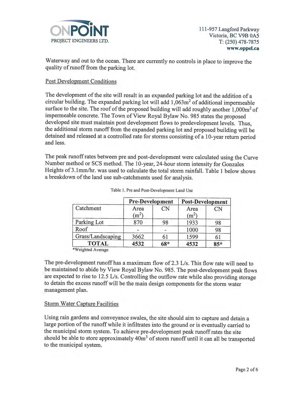
The peak runoff rates between pre and post-development were calculated using the Curve Number method or SCS method. The 10-year, 24-hour storm intensity for Gonzales Heights of 3.1mm/hr. was used to calculate the total storm rainfall. Table 1 below shows a breakdown of the land use sub-catchments used for analysis.
Table 1. Pre and Post-Development Land Use
| Catchment | Pre-Development Area (m²) | Pre-Development CN | Post-Development Area (m²) | Post-Development CN |
|---|---|---|---|---|
| Parking Lot | 870 | 98 | 1933 | 98 |
| Roof | - | - | 1000 | 98 |
| Grass/Landscaping | 3662 | 61 | 1599 | 61 |
| TOTAL | 4532 | 68* | 4532 | 85* |
*Weighted Average
The pre-development runoff has a maximum flow of 2.3 L/s. This flow rate will need to be maintained to abide by View Royal Bylaw No. 985. The post-development peak flows are expected to rise to 12.5 L/s. Controlling the outflow rate while also providing storage to detain the excess runoff will be the main design components for the storm water management plan.
Storm Water Capture Facilities
Using rain gardens and conveyance swales, the site should aim to capture and detain a large portion of the runoff while it infiltrates into the ground or is eventually carried to the municipal storm system. To achieve pre-development peak runoff rates the site should be able to store approximately 40m³ of storm runoff until it can all be transported to the municipal system.
The circular roof of the proposed building will drain towards the south where the runoff will be split and drain to either a rock swale or a rain garden. The rock swale will convey the runoff around the south end of the building to the service driveway where an overflow drain will connect it to the rain garden. The purpose of the swale is to allow more opportunity for infiltration into the ground and not have all the runoff from the roof flowing into the rain garden directly. The swale and rain garden will combine to capture approximately 43m³ of runoff. Any additional runoff will enter an overflow catch basin and be carried to the Admirals Road storm main.
The expanded parking lot will continue to drain to the east towards the existing catch basin. The middle of the new parking lot will feature a 73m² permeable area that will serve as a rain garden for the west end of the parking lot. The remaining surface area not draining into the island will flow towards the northeast side, along the Gorge, where a combination of a conveyance swale and a corner rain garden will help control the runoff. The island rain garden and swale/rain garden combination in the east corner will combine to capture roughly 85m³ of runoff and limit the total outflow from the site.
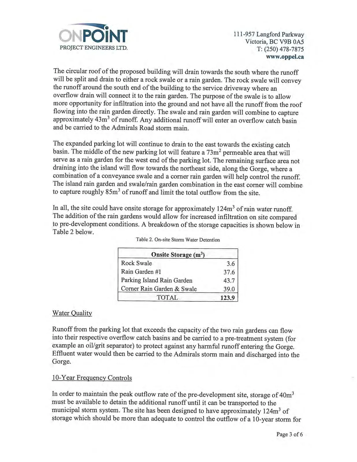
In all, the site could have onsite storage for approximately 124m³ of rain water runoff. The addition of the rain gardens would allow for increased infiltration on site compared to pre-development conditions. A breakdown of the storage capacities is shown below in Table 2 below.
Table 2. On-site Storm Water Detention
| Onsite Storage (m³) | Volume |
|---|---|
| Rock Swale | 3.6 |
| Rain Garden #1 | 37.6 |
| Parking Island Rain Garden | 43.7 |
| Corner Rain Garden & Swale | 39.0 |
| TOTAL | 123.9 |
Water Quality
Runoff from the parking lot that exceeds the capacity of the two rain gardens can flow into their respective overflow catch basins and be carried to a pre-treatment system (for example an oil/grit separator) to protect against any harmful runoff entering the Gorge. Effluent water would then be carried to the Admirals storm main and discharged into the Gorge.
10-Year Frequency Controls
In order to maintain the peak outflow rate of the pre-development site, storage of 40m³ must be available to detain the additional runoff until it can be transported to the municipal storm system. The site has been designed to have approximately 124m³ of storage which should be more than adequate to control the outflow of a 10-year storm for the site. The outflow in the rain gardens would be controlled by an orifice on the outlet pipe. There will be an emergency overflow basin in each of the rain gardens for storm events that exceed the design capacity for each rain garden.
100-Year Frequency Controls
The site borders and is sloped towards the Gorge Waterway. Storm water during a 100-year storm event will naturally flow towards the low point in the East. Once overland flow makes it to the parking lot, all water will be funneled to the corner and into the catch basin or over the barriers of the rain garden and into the Gorge. The overland flow from the property will not flood properties downstream as it is the last property before the Gorge.
The proposed storm water management plan adheres to the Town of View Royal Supplementary Guideline Section 4.3.1 that states all designs must ensure the hydraulic grade line of 10-year frequency flows remain below ground surface.
We trust the foregoing meets your requirements. If you have any comments or questions, please contact the undersigned
Enclosed: Drawing SK1 – Pre-Development Contours (CRD) Drawing SK2 – Preliminary Storm Water Management Sketch
Drawing SK1 – Pre-Development Contours
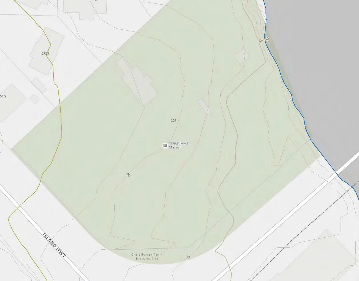
Legend:
- Shoreline 1.6m
- 1m (Contour)
- Metre
- Bathymetry (2 to 200m depth)
Drawing SK2 – Preliminary Storm Water Management Sketch
Notes from Drawing SK2: 4. THE ROCK SWALE SHOULD HAVE AN OVERFLOW DRAIN UNDER THE SERVICE RAMP, THAT CONNECTS TO RAIN GARDEN #1. 5. ANY RUNOFF FROM THE EXISTING FIELD IN FRONT OF THE MANOR SHOULD BE CAPTURED.