Natural Watercourse and Shoreline Development Permit Area Review – Swell Environmental Consulting (Attachment 6)
Environmental review report assessing the project's impact on the riparian and shoreline area of the Gorge Waterway.
Victoria Highland Games Association Attention: Jim Maxwell 2952 Henderson Road Victoria, B.C. V8R 5M3
October 26, 2019
RE: Natural Watercourse and Shoreline Development Permit Area Review for the proposed Craigflower Hall and infrastructure at 1801 Admirals Road, Town of View Royal
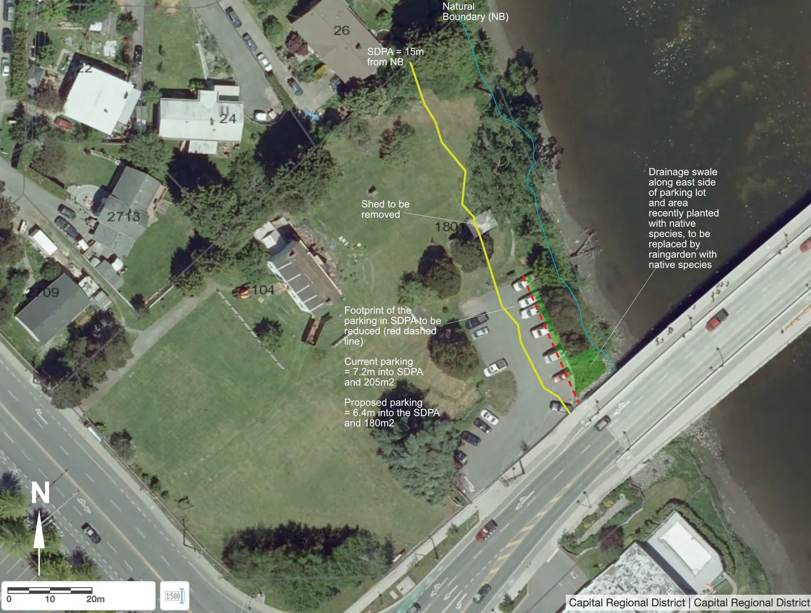
On August 9, 2019 Lehna Malmkvist, MSc, RPBio. of Swell Environmental Consulting Ltd. (Swell) visited the Craigflower Manor site at 1801 Admirals Road, in the Town of View Royal, to review the existing site conditions and works proposed by the owner that are within the Town of View Royal’s Natural Watercourse and Shoreline Areas Development Permit Area (SDPA) (Figures 1, 2, 3). As per View Royal’s Schedule Q of the Official Community Plan (2011) Bylaw No. 811, the proposal was evaluated with the intent to minimise detrimental impacts to the shoreline. The Natural Watercourse and Shoreline Areas Development Permit Area is an area encompassing a 15-m from the natural boundary of the sea and is referred to as the SDPA in this letter.
Natural Watercourse and Shoreline Areas Development Permit Area, Bylaw No. 811
The View Royal Official Community Plan (OCP 2011) Bylaw No. 811, identifies the following Guidelines that apply to the Natural Watercourse and Shoreline Areas DPA:
- Development of riparian and shoreline areas should be limited and not negatively impact the ecological health of the immediate area or impede public access.
- Retention of existing healthy riparian and shoreline vegetation should be maximized with any paths, structures or other constructed areas sited to minimize impact on trees and sensitive areas.
- Restoration of riparian and shoreline vegetation and habitat, including removal of invasive species, is encouraged for all properties within this Development Permit Area.
- Development should result in a net increase in native vegetation in almost all circumstances including trees, shrubs and grasses.
- For shoreline areas heavily impacted by previous development, target the restoration of ecologically appropriate vegetation for an average 15m wide (minimum 5 m) shoreline zone over 50% of the shore length.
- Riparian and shoreline area development should sensitively manage storm water, focusing on infiltration and release of storm water in ways and quantities that mimics natural patterns, avoids scouring and erosion and results in storm water free from pollutants.
- The preservation and enhancement of native trees and shrub clusters that overhang the water’s edge is strongly encouraged as these provide shade, protection and feeding habitat for fish and wildlife.
Proposed Works
The project proposed for the site is the construction of Craigflower Hall, Victoria Scottish Community Centre, and associated infrastructure. The portion of this work that will be within the SDPA is (Figure 2 and 3):
- Reconstruction of the existing parking lot will be smaller than the existing footprint (from 205m² to 180m² within the SDPA, and approx. 15cm higher than the existing parking lot to allow for drainage bioswale along the east, with minimal excavation for tree roots)
- landscaping in the parking areas will be installed up to the wheel stops to minimize the impermeable surfaces, maximize the vegetation in the SDPA and raingardens, and provide an increase in soil and planting area around the protected trees in the SDPA
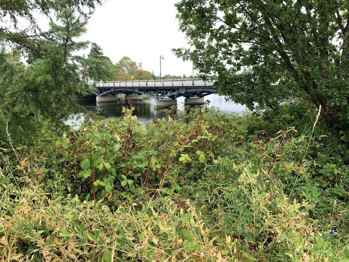
- Installation of a raingarden to treat runoff from the parking lot, in the southeast corner of the property, adjacent to the bridge and Gorge Waterway, in the area that was recently planted with native species, the raingarden vegetation will be native species.
- Installation of a rainwater management bioswale along the eastern edge of the parking lot
- Installation of an oil interceptor to treat any parking runoff (storm event) before it enters the municipal stormdrain system
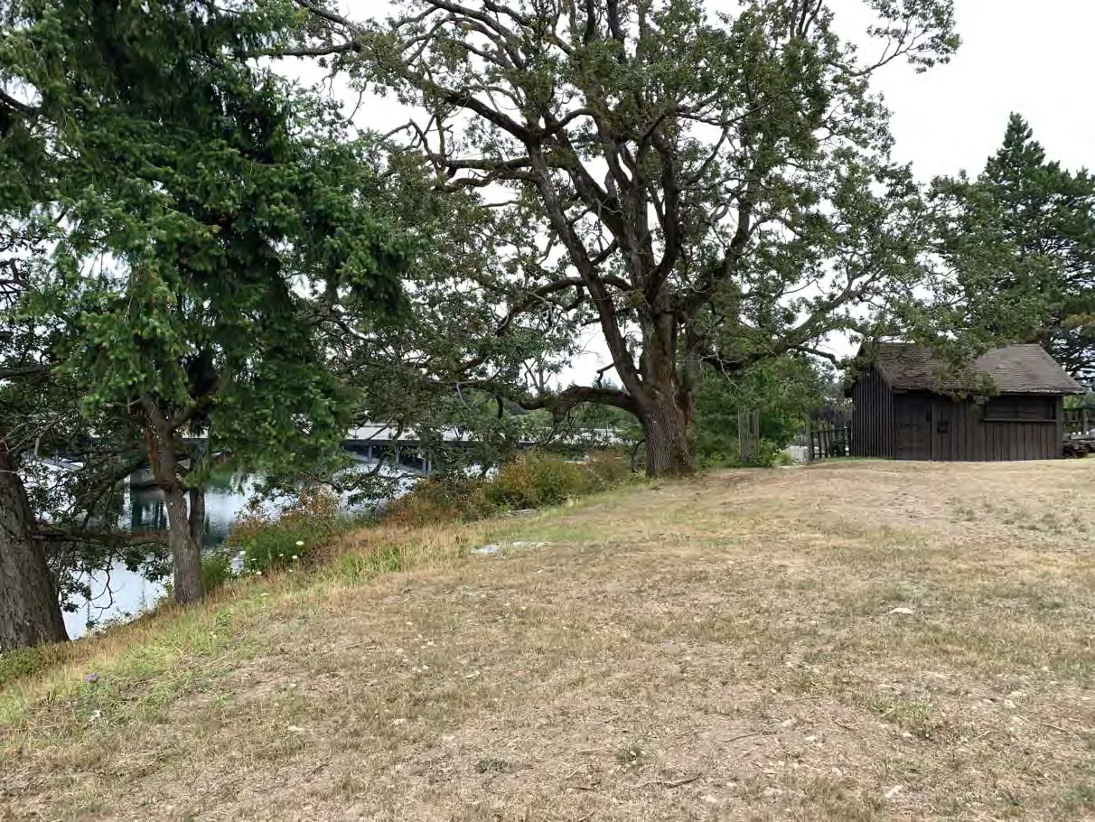
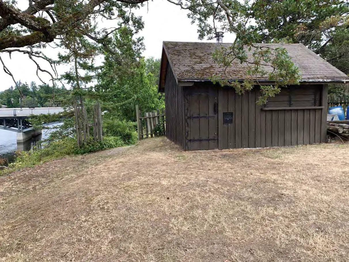
- Removal of an existing outbuilding (shed) in the SDPA
- Removal of non-native, invasive species
- Planting native species
The civil engineering and landscaping drawings show the details for the parking lot construction and the rainwater management facilities (Figures 2 and 3).
The remaining construction for the hall, remaining parking and other infrastructure is outside the SDPA. Outside the SDPA will be additional rain gardens for the parking area and roof (Figure 2 and 3).
Site Conditions
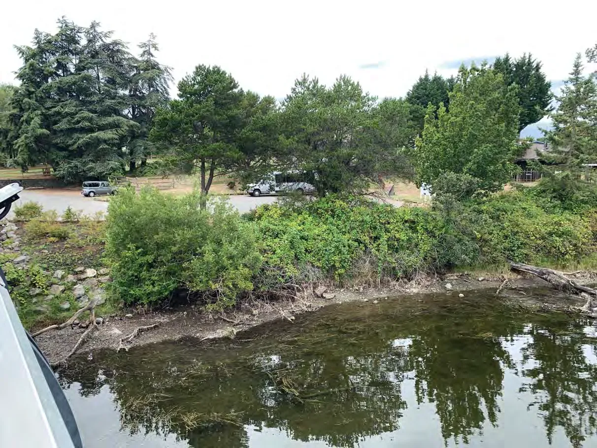
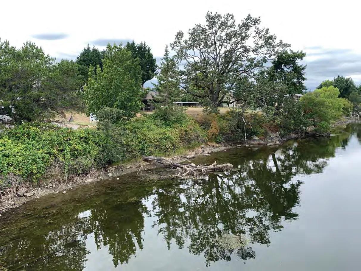
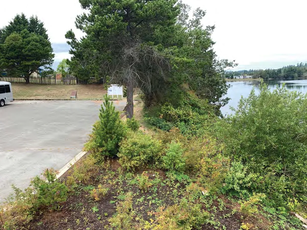
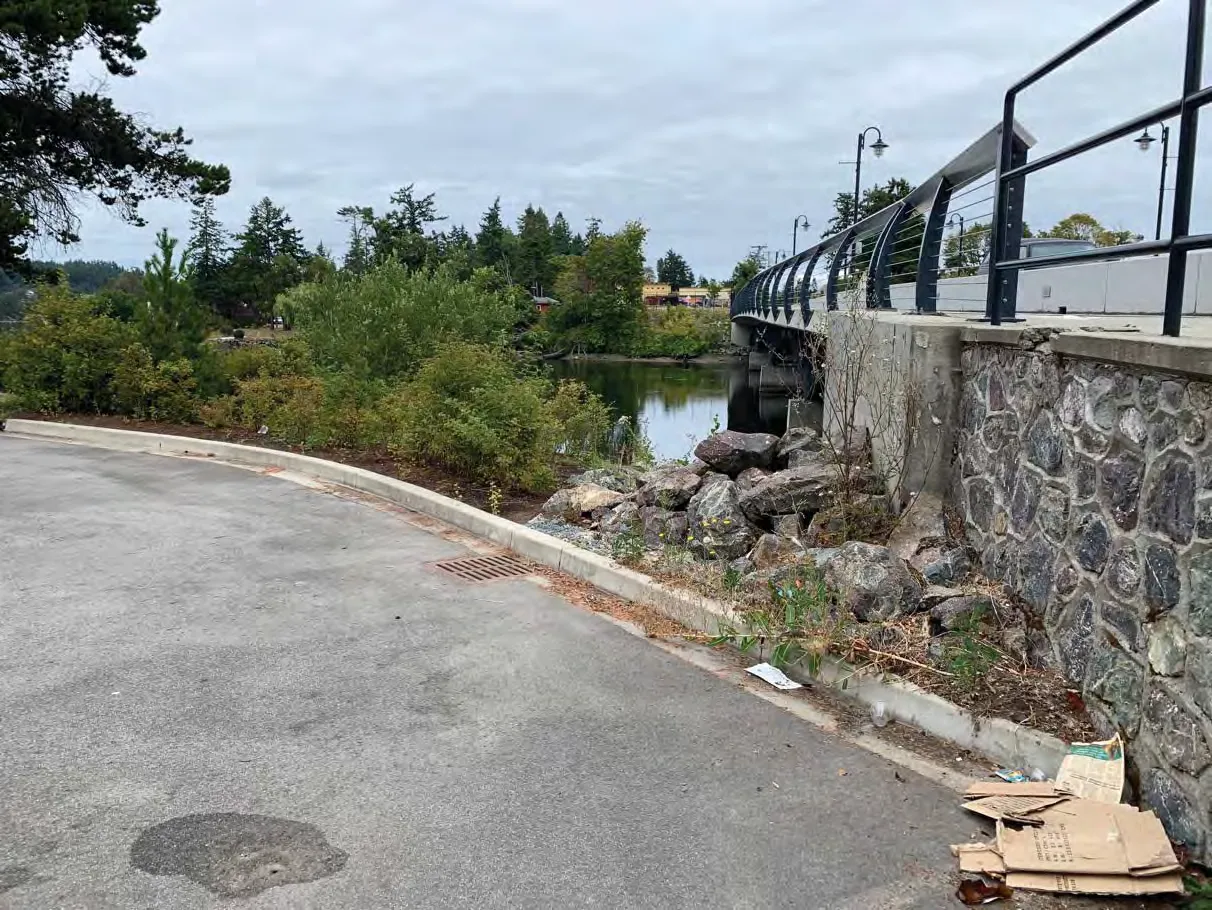
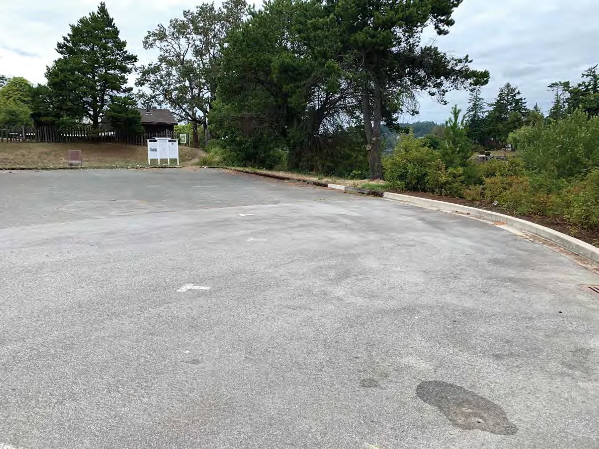
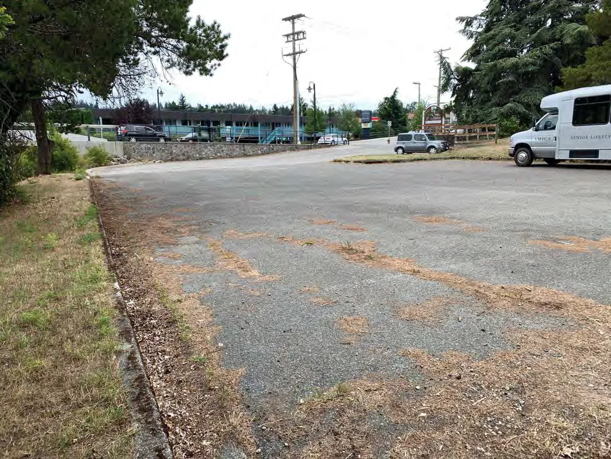
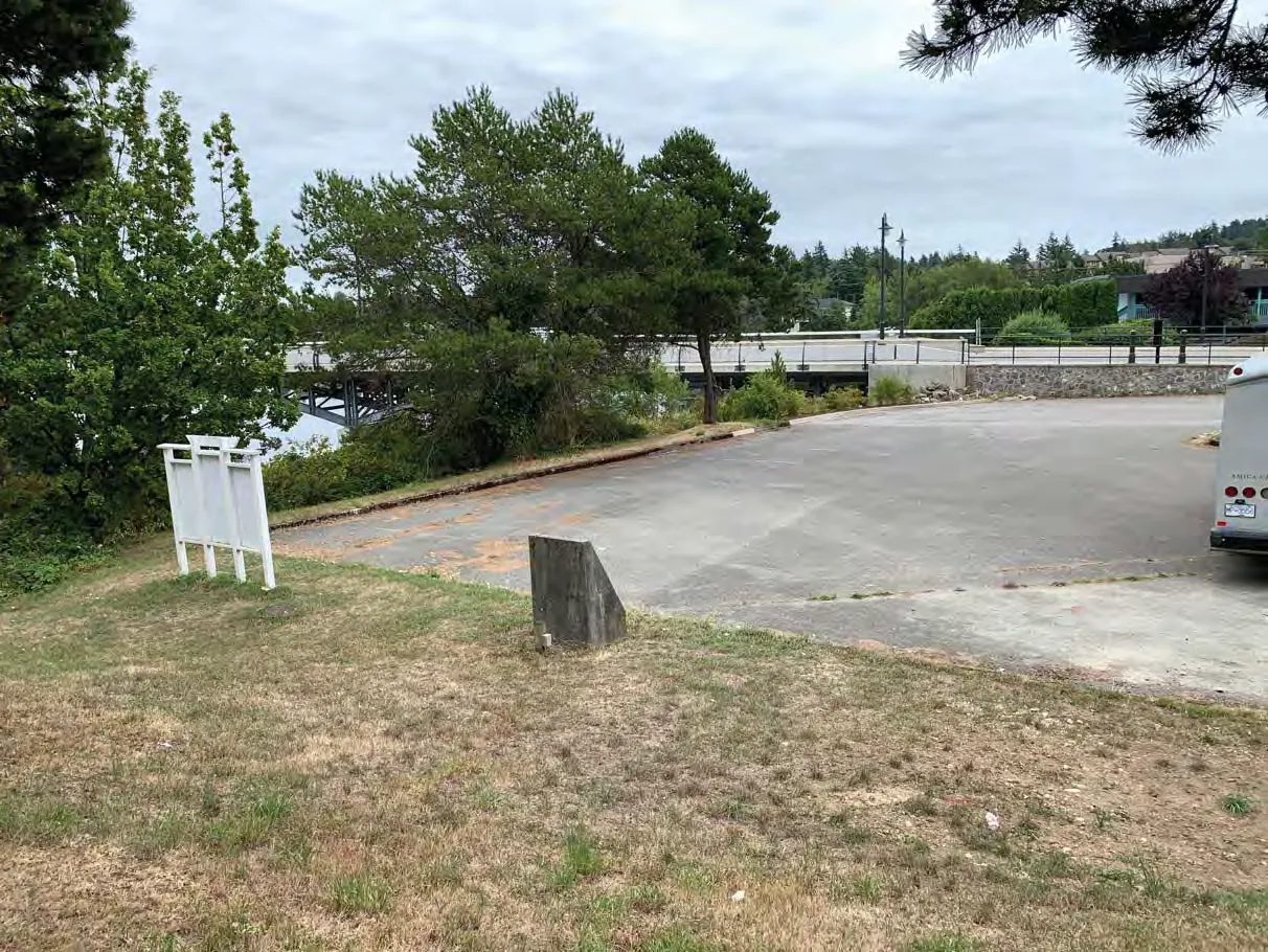
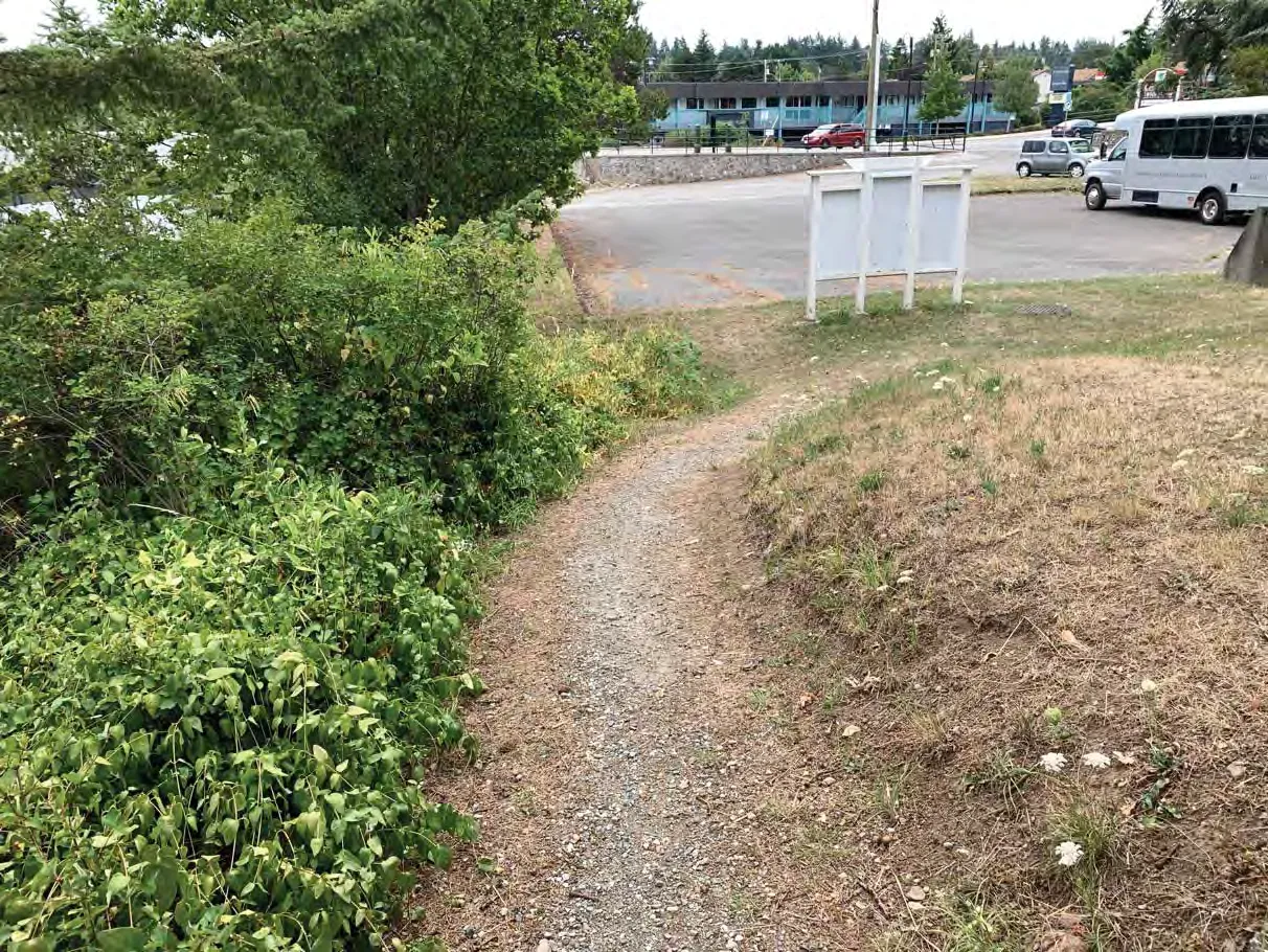
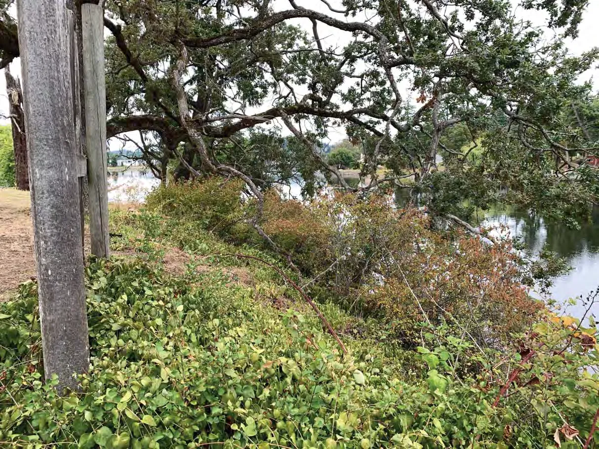
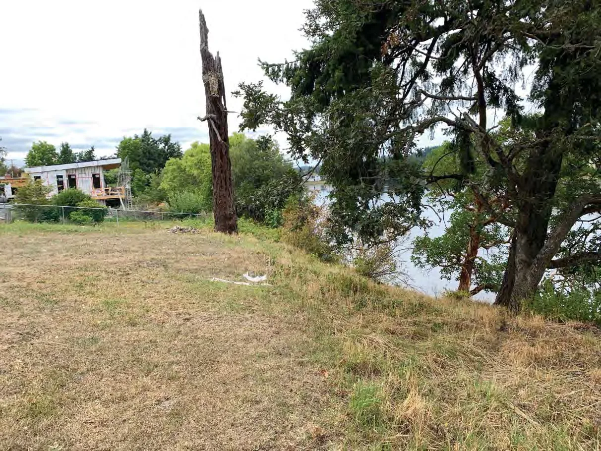
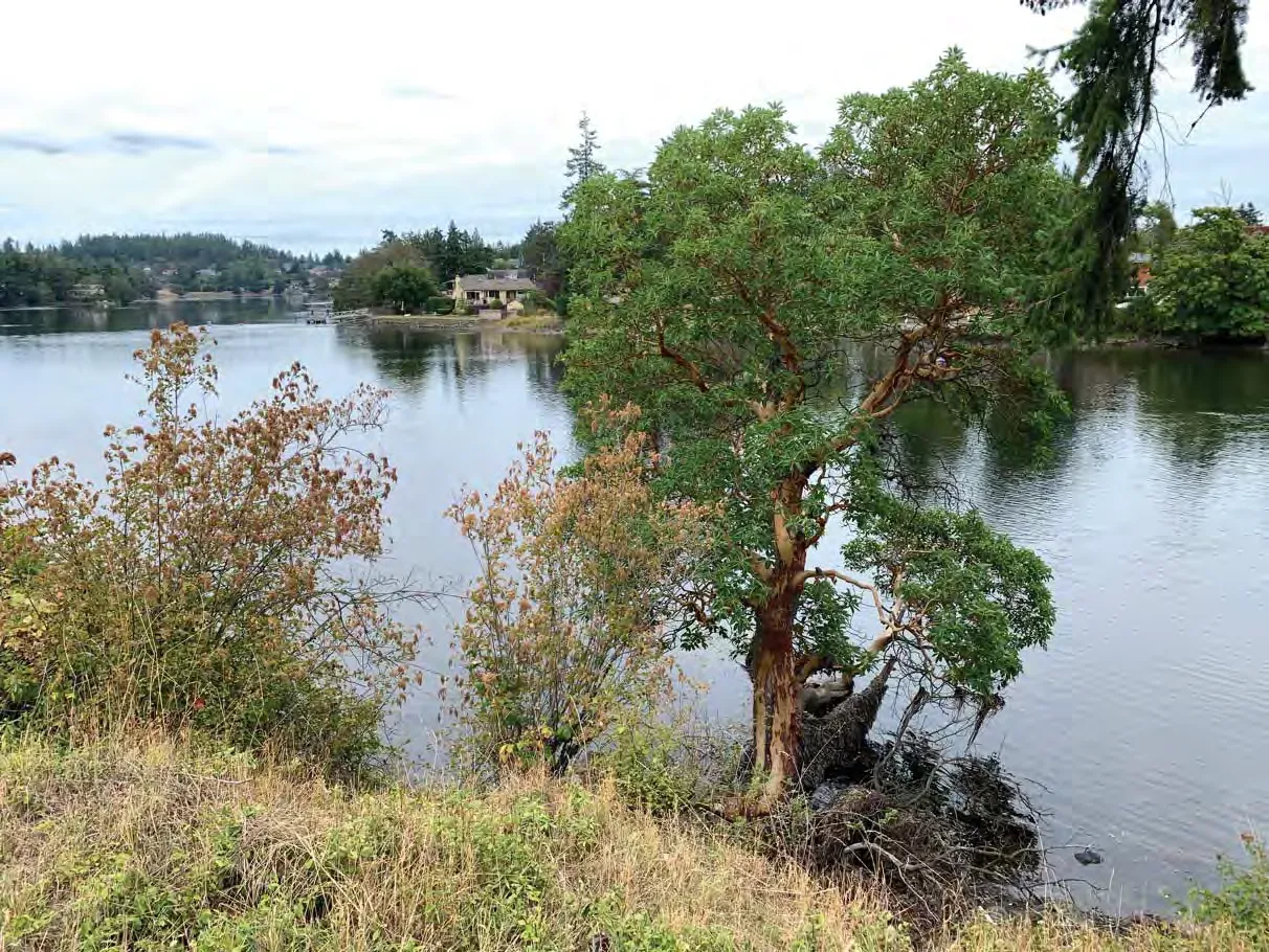
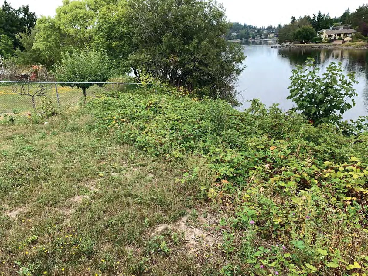
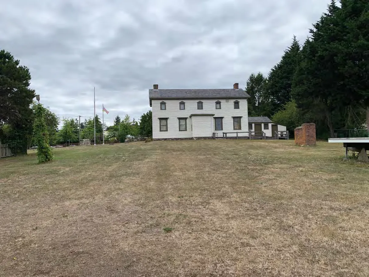
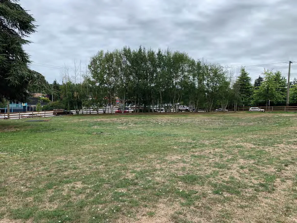
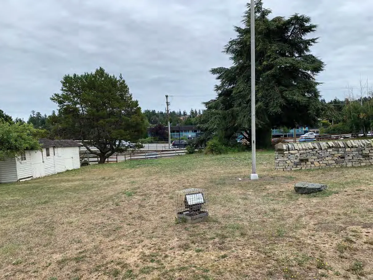
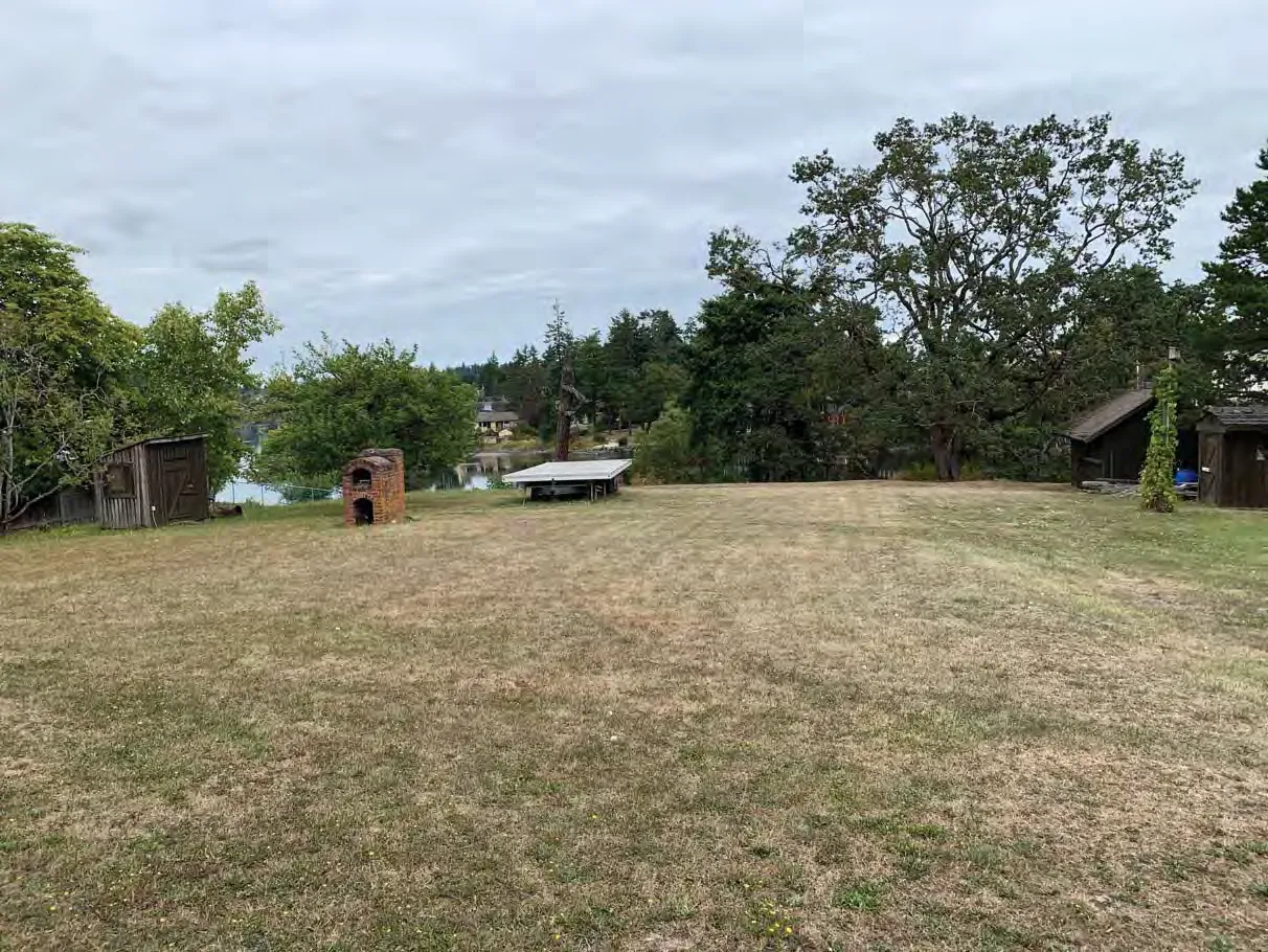
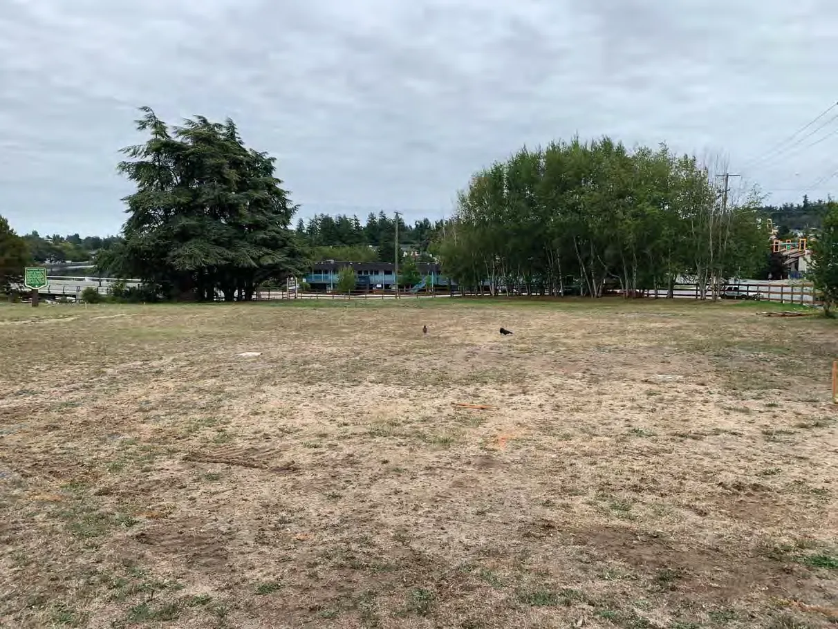
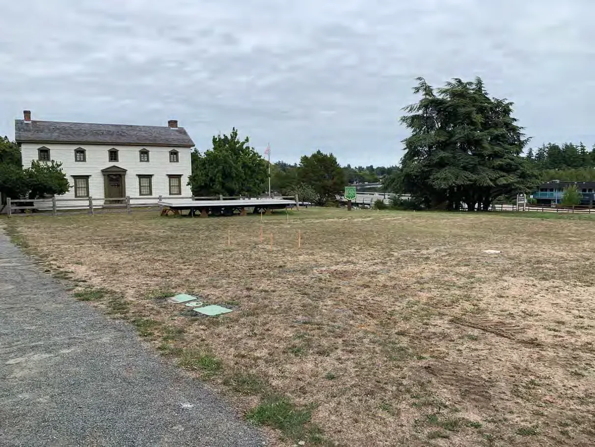
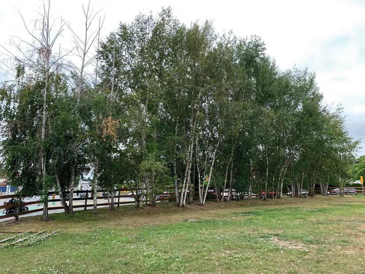
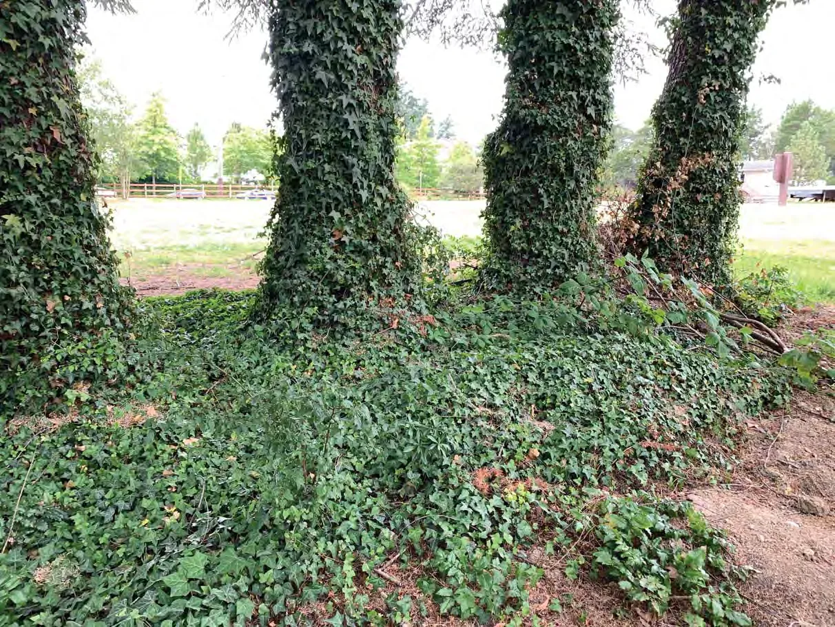
The property has been historically cleared and, consisting of Craigflower Manor and outbuildings, a parking lot, trails, large areas of lawn, and some groves of trees, and ornamental landscaping. Within the SDPA, there is part of the existing parking lot, an outbuilding, trail, and a slope from the developed area down to the Gorge Waterway with an extensive establishment of ornamental and invasive, non-native species, along with some patches and interspersed native plant species (Photos 1-7).
The vegetation in the SDPA consists of trees, including shore pine (Pinus contorta var. contorta), Garry oak (Quercus garryana), Douglas-fir (Pseudotsuga menziesii), arbutus (Arbutus menziesii), and young big leaf maple (Acer macrophyllum), with an understory of primarily invasive non-native species including lawn and agricultural grasses, Himalayan blackberry (Rubus armeniacus), laurel-leaved daphne (Daphne laureola), Scotch broom (Cytisus scoparius), English ivy (Hedra helix), broad-leaved peavine (Lathyrus latifolius), periwinkle (Vinca sp.), and other ornamental and weedy species. Native vegetation consists of patches and interspersed snowberry (Symphoricarpos alba), oceanspray (Holodiscus discolor), Nootka rose (Rosa nutkana), tall Oregon grape (Mahonia aquifolium), willow (Salix sp.), licorice fern (Polypodium glycyrrhiza), and yarrow (Achllea millefolium).
In the southeast corner of the SDPA, adjacent to the bridge and Gorge Waterway, a small area has been cleared, and replanted with native species including Nootka rose, snowberry, and salmonberry (Rubus spectablis), and invasive thistles (Cirsium sp.) are beginning to establish in this area.
The Greater Victoria Highland Games Society manages the site, and has been removing invasive, non native vegetation from the site, and plans to continue this as part of the maintenance for the property.
No rare species were observed and the season is not the optimal time to observe this type of vegetation, however, the history of disturbance, and dominance of invasive, non-native species indicates that it is unlikely for rare species to be present at the site.
Environmental Impacts and Recommendations
The potential environmental impacts from the proposed works are:
- Risk to existing trees from excavation
- Removal of native vegetation in the southeast corner (replacing recently replanted area with raingarden)
- Risk of sedimentation or spills into Gorge Waterway during construction
An Environmental Protection Plan (EPP) with Best Management Practices (BMPs) should be developed by the contractor prior to initiating construction on the site. The following BMPs should be incorporated into the EPP to minimize potential impacts to the SDPA and Gorge Waterway from construction activities:
- The proposed parking lot will replace the existing parking lot utilizing the a smaller footprint, and there will be no loss of the existing SDPA native vegetation due to the parking lot.
- The proposed raingarden in the southeast corner will replace the area that has been recently planted with native species. These plants could be salvaged and used onsite or in another site in View Royal, the raingarden and bioswale in the SDPA will be planted with native species.
- ISA certified arborist will provide recommendations for excavation within the critical root zone of SDPA trees.
- The parking lot will be raised approx. 15cm to minimize the excavation required for the bioswale along the eastern edge of the parking lot in the SDPA, to minimize the risk to the critical root zones of the protected trees in this area.
- Locations of the SDPA, no-go zones, retained trees and vegetation, and sensitive areas are fenced, signed and communicated to all personnel.
- If clearing trees or shrubs between February 15 to August 15, conduct a pre-clearing nesting bird survey to ensure no nesting birds will be affected by the construction. Section 34 of the BC Wildlife Act protects birds and their eggs from possession, molestation or destruction. The nests of eagles, peregrine falcons, gyrfalcons, ospreys, herons, and burrowing owls are protected at all times of the year. The nests of all other species are protected when the birds or their eggs are in the nest.
- Confine equipment to the construction footprint and avoid placing soil/gravel piles or heavy construction materials around roots of trees to be retained, or otherwise compacting soils or cutting into root zones. Protective tree fencing is helpful for delineating protected areas.
- Implement Environmental Monitoring mitigation measures to:
- ensure that no sediment laden water enters the Gorge Waterway
- prevent spills or other contamination
- minimize habitat disturbance
- oversee habitat restoration efforts
Erosion and Sediment Control
- Minimize vegetation removal to area currently under development (ie in stages according to construction timetable, as opposed to comprehensive advanced clearing)
- Site clearing should be undertaken immediately prior to construction in order to minimize the amount of time that disturbed soils are exposed to weathering.
- Schedule excavation activities during dry weather, where possible, and utilizing extra caution if working during wet weather
- Do not direct water runoff from the site or dewatering from excavations directly into waterbodies
- Cover exposed soils (e.g. tarps, poly, grass seed) and using Polster ‘rough and loose’ method of soil contouring
- Install erosion and sediment control structures (e.g. sediment fence) between the construction zone and waterbodies, at start of construction
- Locations of SDPA, tree protection boundaries, no-go zones and sensitive areas are marked with temporary fencing and communicated to all personnel
- Ensure soil and debris stockpiles are placed away from the SDPA and catchbasins, and sediment laden water cannot flow into the waterbodies.
- Contact Environmental Monitors immediately with any concerns.
Spill Prevention and Response
- Equipment is inspected for leaks prior to beginning work.
- Spill response kits (capable of addressing the volume of fuel/oils/chemicals on site) are on site when any heavy machinery is working, and operators are trained in their use.
- Equipment refueling is at a designated location and >30 m from the Gorge Waterway, and isolated from stormdrains.
- Fuel generators must be placed in a spill-proof container (e.g. plastic bin, or other impermeable containment area such as poly-lined bermed depression.
- Store all fuel cans in spill-proof containers (e.g. as above).
- Concrete wash-water and wet concrete is highly alkaline and toxic to fish and other aquatic organisms. All concrete wash-water from equipment, trucks and/or hand tools needs to be directed to a settling area away from runoff paths to the waterbodies. Freshly poured concrete needs to be covered when rain is forecasted or runoff needs to be isolated from waterbodies during the curing process.
- In case of spills, the following general steps are recommended:
- Stop source of spill/prevent further spillage (turn off valves, right overturned containers)
- Block spill from reaching aquatic (marine or freshwater) environment or pathways to waterbodies
- Block spill from spreading
- Call Environmental Monitors
- Clean up spilled materials
Environmental Monitoring
At a minimum, environmental monitoring should include:
- A pre-construction meeting on-site with the QEP, the owner’s representative, consulting team, and the contractor(s).
- Site visits timed to coincide with key construction activities and based on weather conditions to ensure that all development activities remain outside of the SDPA (other than the replacement of existing parking, and installation of vegetated rainwater management facilities) and that erosion & sediment control and other protective structures are in good working order. Key stages should be agreed upon by the QEP and contractor and include:
- After installation of erosion & sediment control measures
- During work within the SDPA (parking lot and rainwater management facilities)
- Vegetation clearing
- Excavations
- Invasive species removal
- Native species plantings
- Others, as needed
- Site visits for heavy rainfall events (e.g. >15 mm) until such time that the QEP is satisfied that the erosion & sediment control and other protective structures are containing heavy rainfall as designed.
- Site visits for emergencies (e.g. spills).
- A post-development visit to inspect works for the conformance statement and post-development report.
- Photo-point monitoring and site visit checklists should be used for clarity of post-development reporting.
- The owner’s representative must notify the QEP a minimum of 2 weeks prior to the project start up to arrange for the pre-construction meeting.
In summary, the proposed work on-the-ground in the SDPA is replacement of an existing parking area with a reduction in the footprint of the parking area in the SDPA, an oil interceptor for treatment of parking lot runoff, and installation of rainwater management facilities to be planted with native vegetation, no habitat loss is expected in the SDPA from these activities. And, provided the construction works within the SDPA and on the whole site implement the construction environmental protection BMPs described earlier, no negative impacts are expected in the Gorge Waterway. Continued invasive species management and planting of native species in the SDPA will result in an improvement upon the current condition of the SDPA.
Please do not hesitate to contact me with any questions you may have.
Sincerely,
Lehna Malmkvist, MSc, RPBio (#1613)
[Image description: Page 7 shows a technical site plan drawing titled "CRAIGFLOWER HALL" illustrating civil engineering details such as rain gardens, oil interceptor, and drainage connections.]
[Image description: Page 8 shows a landscape architectural detail plan showing planting areas, tree screening, and drainage features.]
Document Images
(1)