This site is in beta — data may be incomplete and features are still being added.
Committee of the Whole/Documents/Subject Property Map - 14 Jedburgh Rd
Appendix

Subject Property Map - 14 Jedburgh Rd

June 14, 2016Page 891 section

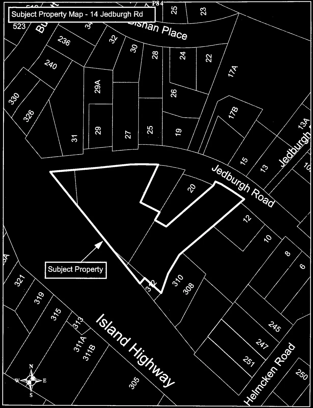
Zoning map identifying the subject property on Jedburgh Road.

2 APPROVAL OF AGENDA
14 Jedburgh Rd

Subject Property Map - 14 Jedburgh Rd

A cadastral map showing the Subject Property at 14 Jedburgh Road. The property is outlined in a thick black line and is situated between Island Highway to the southwest and Jedburgh Road to the northeast. The map includes surrounding lot numbers and nearby streets such as Helmcken Road and Bishan Place, with a compass rose in the bottom left corner.
Page 89

Document Images

(1)
Document image
Extracted from: 2016 06 14 Committee of the Whole Agenda