This site is in beta — data may be incomplete and features are still being added.
Committee of the Whole/Documents/Attachment 1. Location Map - 1950 Watkiss Way
Appendix

Attachment 1. Location Map - 1950 Watkiss Way

June 14, 2016Page 1651 section

Contextual map showing the development site on Watkiss Way.

2 APPROVAL OF AGENDA
Adjacent to Burnside Road West

Attachment 1. Location Map
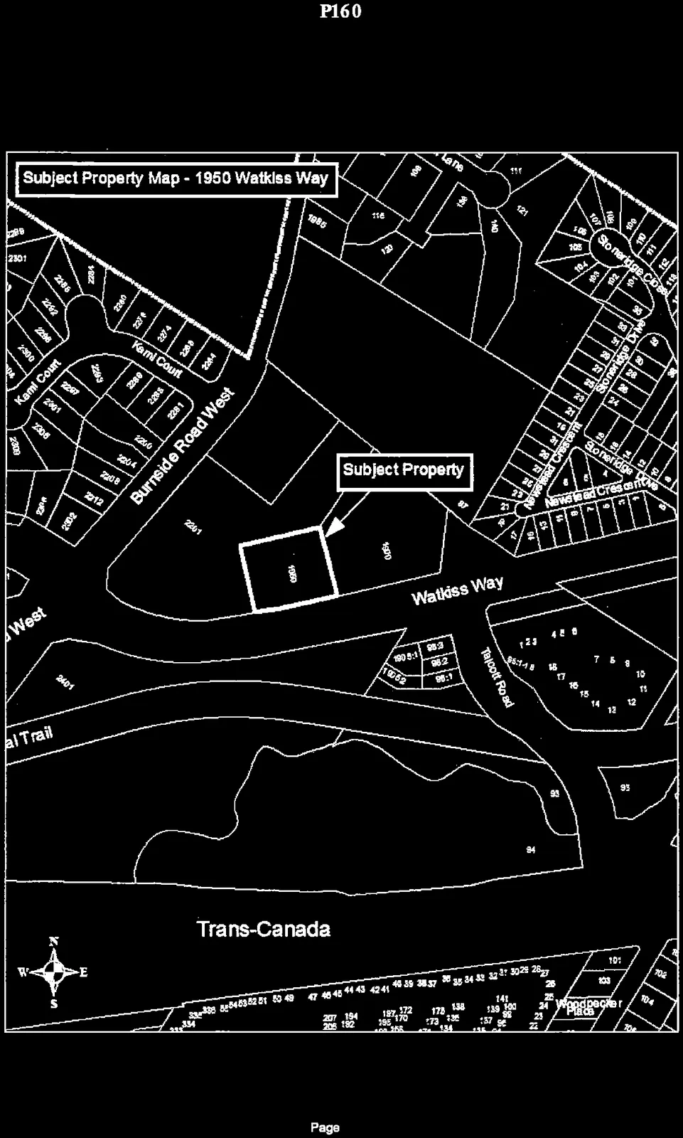
A location map titled "Subject Property Map - 1950 Watkiss Way" highlighting the "Subject Property" at 1950 Watkiss Way. The map shows the property situated near the intersection of Burnside Road West and Watkiss Way. Surrounding features include Kami Court, Talcott Road, Stoneridge Close, Stoneridge Drive, Newslead Crescent, and the Trans-Canada Highway to the south.
Page 165

Document Images

(1)
Document image
Extracted from: 2016 06 14 Committee of the Whole Agenda