Committee of the Whole/Documents/Development Permit Area Guidelines Review - Sensitive Terrestrial Ecosystems
Appendix
Development Permit Area Guidelines Review - Sensitive Terrestrial Ecosystems
June 14, 2016Pages 197–2014 sections
Environmental review of the project's impact on nearby ecosystems and parkland.
Natural park land provided at time of rezoningArborist monitoring required for blasting work
DEVELOPMENT PERMIT AREA GUIDELINES - REVIEW
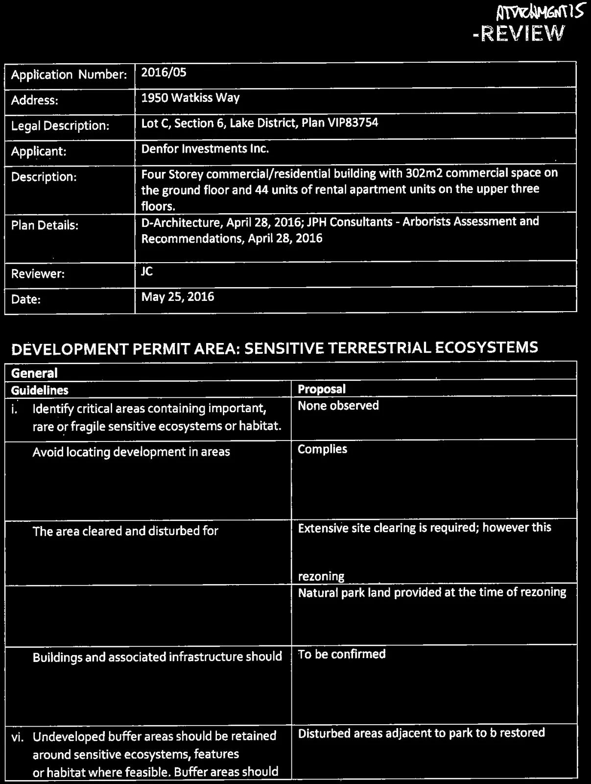
| Application Number: | 2016/05 |
| Address: | 1950 Watkiss Way |
| Legal Description: | Lot C, Section 6, Lake District, Plan VIP83754 |
| Applicant: | Denfor Investments Inc. |
| Description: | Four Storey commercial/residential building with 302m2 commercial space on the ground floor and 44 units of rental apartment units on the upper three floors. |
| Plan Details: | D-Architecture, April 28, 2016; JPH Consultants - Arborists Assessment and Recommendations, April 28, 2016 |
| Reviewer: | JC |
| Date: | May 25, 2016 |
Page 197–201
DEVELOPMENT PERMIT AREA: SENSITIVE TERRESTRIAL ECOSYSTEMS
General
| Guidelines | Proposal |
|---|---|
| i. Identify critical areas containing important, rare or fragile sensitive ecosystems or habitat. | None observed |
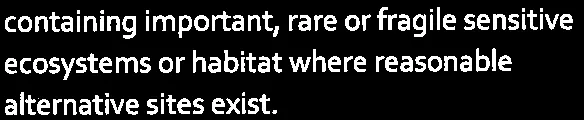
| ii. Avoid locating development in areas containing important, rare or fragile sensitive ecosystems or habitat where reasonable alternative sites exist. | Complies |
| iii. The area cleared and disturbed for development should be minimized. | Extensive site clearing is required; however this was anticipated and offset through the contribution of natural park land at the time of rezoning |
| iv. Fewer, but larger, undisturbed areas should be used rather than small or isolated undisturbed areas. | Natural park land provided at the time of rezoning |
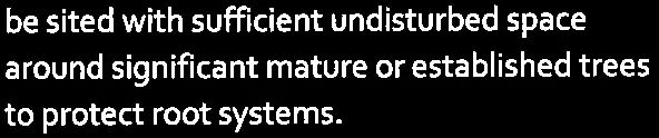
| v. Buildings and associated infrastructure should be sited with sufficient undisturbed space around significant mature or established trees to protect root systems. | To be confirmed |
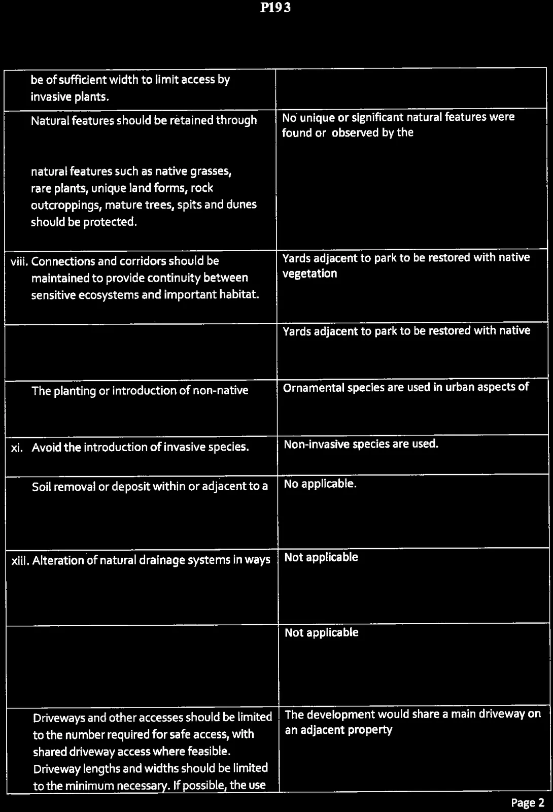
| vi. Undeveloped buffer areas should be retained around sensitive ecosystems, features or habitat where feasible. Buffer areas should be of sufficient width to limit access by invasive plants. | Disturbed areas adjacent to park to b restored |
| vii. Natural features should be retained through incorporation into the design of the development. In particular, unique or special natural features such as native grasses, rare plants, unique land forms, rock outcroppings, mature trees, spits and dunes should be protected. | No unique or significant natural features were found or observed by the Landscape Architect and arborist on the site. |
| viii. Connections and corridors should be maintained to provide continuity between sensitive ecosystems and important habitat. | Yards adjacent to park to be restored with native vegetation |
| ix. Use of drought resistant and native plants in landscaping is encouraged. | Yards adjacent to park to be restored with native vegetation |
| x. The planting or introduction of non-native plants should be avoided. | Ornamental species are used in urban aspects of the site where native species would not thrive. |
| xi. Avoid the introduction of invasive species. | Non-invasive species are used. |
| xii. Soil removal or deposit within or adjacent to a sensitive ecosystems or habitat should be avoided. | No applicable. |
| xiii. Alteration of natural drainage systems in ways that increase or decrease the amount of water available to a sensitive ecosystem should be avoided. | Not applicable |
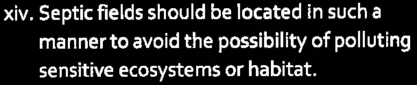
| xiv. Septic fields should be located in such a manner to avoid the possibility of polluting sensitive ecosystems or habitat. | Not applicable |
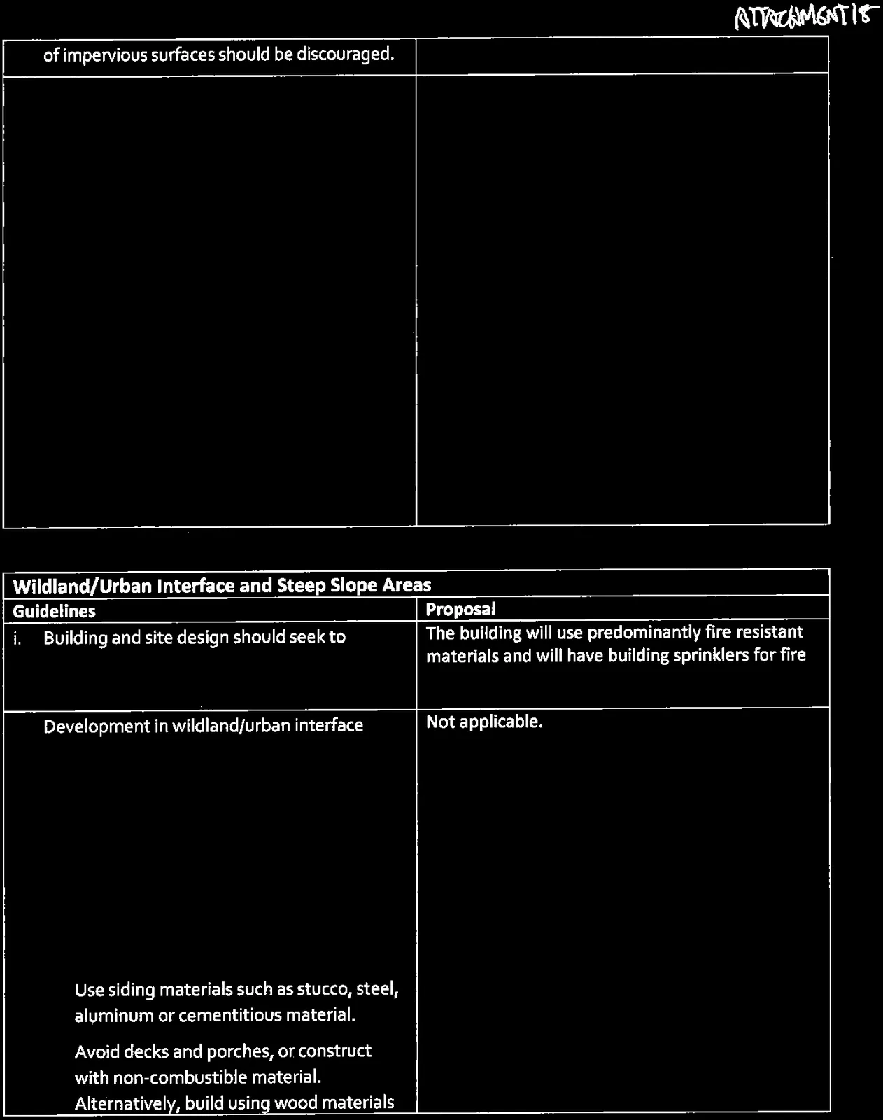
| xv. Driveways and other accesses should be limited to the number required for safe access, with shared driveway access where feasible. Driveway lengths and widths should be limited to the minimum necessary. If possible, the use of impervious surfaces should be discouraged. | The development would share a main driveway on an adjacent property |
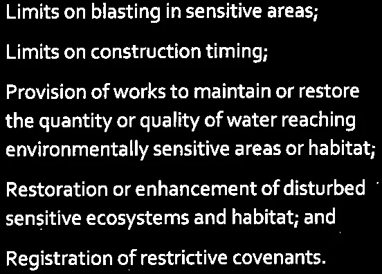
| xvi. The permit conditions may include: • Construction of permanent or temporary fencing around sensitive features; • Fencing, flagging and posting of notices during construction; • Limits on blasting in sensitive areas; • Limits on construction timing; • Provision of works to maintain or restore the quantity or quality of water reaching environmentally sensitive areas or habitat; • Restoration or enhancement of disturbed sensitive ecosystems and habitat; and • Registration of restrictive covenants. |
Arborist monitoring will be required for blasting work. |
Page 197–201
Wildland/Urban Interface and Steep Slope Areas
| Guidelines | Proposal |
|---|---|
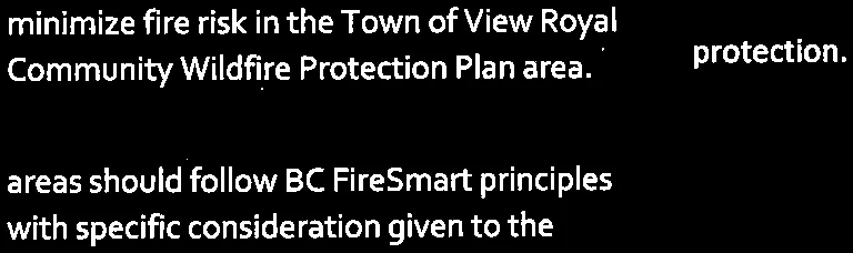
| i. Building and site design should seek to minimize fire risk in the Town of View Royal Community Wildfire Protection Plan area. | The building will use predominantly fire resistant materials and will have building sprinklers for fire protection. |
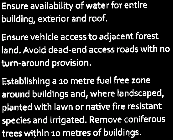
| ii. Development in wildland/urban interface areas should follow BC FireSmart principles with specific consideration given to the following: • Use tile, steel or other non-combustible material for roofing. Include closed-in soffits. • Keep roofing clear of combustible material accumulation. • Use siding materials such as stucco, steel, aluminum or cementitious material. • Avoid decks and porches, or construct with non-combustible material. Alternatively, build using wood materials with underside fully enclosed. • Underground wiring should be installed for power supply to the building or structure. If overhead wires, avoid physical contact with adjacent trees. • Ensure availability of water for entire building, exterior and roof. • Ensure vehicle access to adjacent forest land. Avoid dead-end access roads with no turn-around provision. • Establishing a 10 metre fuel free zone around buildings and, where landscaped, planted with lawn or native fire resistant species and irrigated. Remove coniferous trees within 10 metres of buildings. |
Not applicable. |
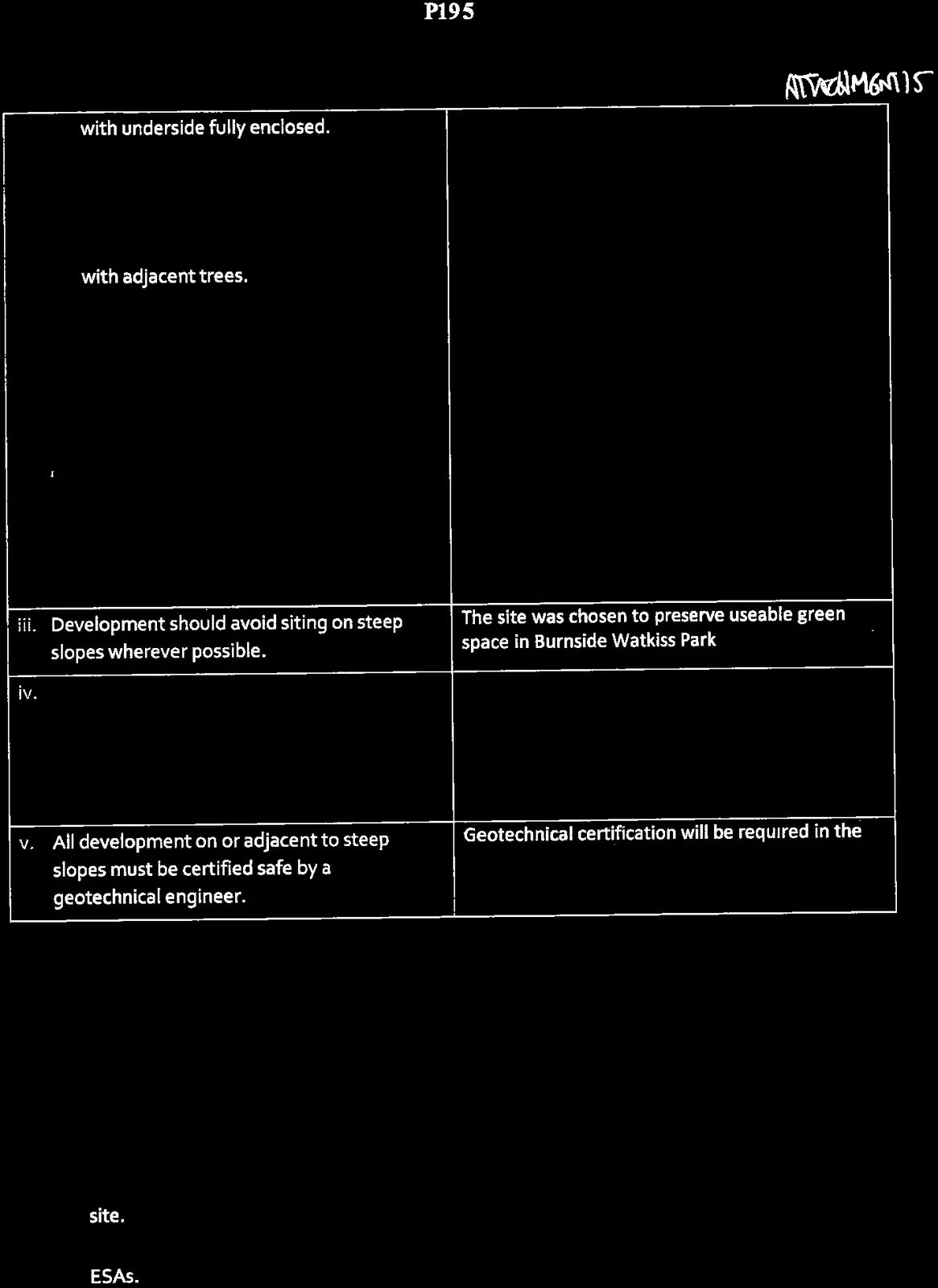
| iii. Development should avoid siting on steep slopes wherever possible. | The site was chosen to preserve useable green space in Burnside Watkiss Park |
| iv. Where steep slopes cannot be avoid development should seek to minimize alteration of existing topography through excavation and blasting and employ building designs that work with existing topography. | The building is designed to fit into the slope. |
| v. All development on or adjacent to steep slopes must be certified safe by a geotechnical engineer. | Geotechnical certification will be required in the building process |
Page 197–201
Development Applications
| Guidelines | Proposal |
|---|---|
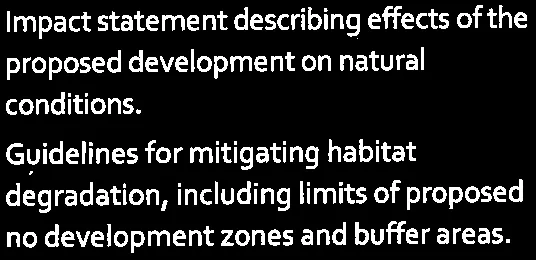
| i. Development applications shall include an impact assessment report prepared by a registered professional biologist with the following information: • Detailed identification of all environmentally sensitive areas within the site. • Criteria used to define the boundaries of ESAs. • Inventory of red and blue list species and ecosystems and sensitive ecosystems within the site. • Impact statement describing effects of the proposed development on natural conditions. • Guidelines for mitigating habitat degradation, including limits of proposed no development zones and buffer areas. |
No species at risk was found or observed by the Landscape Architect/arborist on the site. |
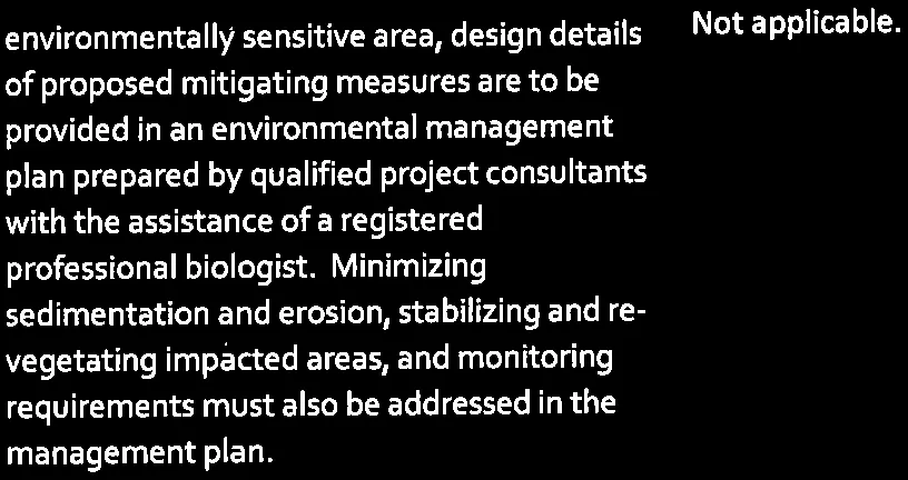
| ii. Where development is in proximity to this environmentally sensitive area, design details of proposed mitigating measures are to be provided in an environmental management plan prepared by qualified project consultants with the assistance of a registered professional biologist. Minimizing sedimentation and erosion, stabilizing and re-vegetating impacted areas, and monitoring requirements must also be addressed in the management plan. | Not applicable. |
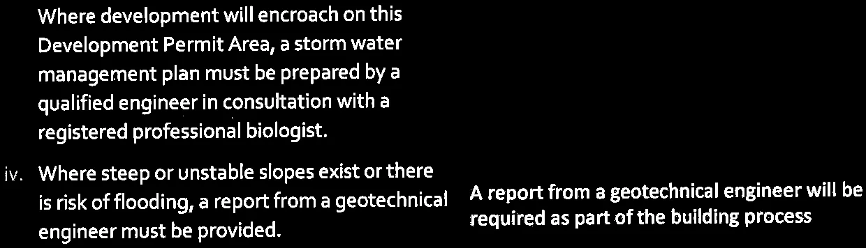
| iii. Where development will encroach on this Development Permit Area, a storm water management plan must be prepared by a qualified engineer in consultation with a registered professional biologist. | Not applicable. |
| iv. Where steep or unstable slopes exist or there is risk of flooding, a report from a geotechnical engineer must be provided. | A report from a geotechnical engineer will be required as part of the building process |
| v. Where required by the Riparian Area Regulations, the completion and submittal of a Riparian Area Assessment Report. | Not applicable. |
| vi. In the area north of Thetis Lake Regional Park and the lands in the vicinity of Mill Hill Regional Park, a Wildland/Urban Interface Fire Smart risk assessment and management plan must be provided. | Not applicable. |
Page 197–201
Document Images
(21)






Extracted from: 2016 06 14 Committee of the Whole Agenda