This site is in beta — data may be incomplete and features are still being added.
Appendix

Site Context Plan

February 8, 2022Page 3641 section

An aerial site context plan showing the location of the proposed development relative to the surrounding road network.

9.2.3.a Draft Community Climate Action Strategy
Intersection of Helmcken Road and Burnside Road WProximity to Watkiss Way and Conard Street

SITE CONTEXT PLAN
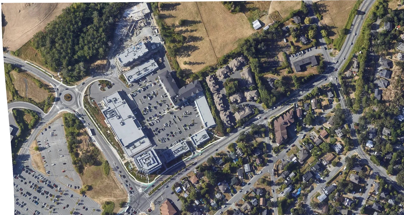
Aerial photograph showing the context of the development site within the surrounding neighborhood, featuring nearby commercial and residential areas.

SITE LOCATION

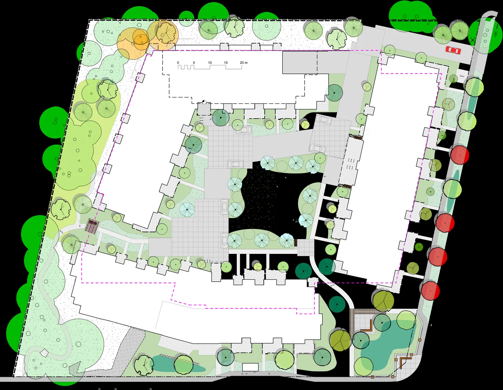
Detailed site plan illustrating the proposed building footprints, landscaped areas, pedestrian paths, and property boundaries.

Key Roadways:

  • Watkiss Way
  • Helmcken Road
  • Burnside Road W
  • Conard Street
  • Camden Avenue
  • Quincy Street
Page 364
Extracted from: 2022 02 08 Committee of the Whole Agenda - Agenda - Pdf