This site is in beta — data may be incomplete and features are still being added.
Committee of the Whole/Documents/Attachment 5: Riparian Areas Protection Regulation - Assessment Report Section 6. Photos
Appendix

Attachment 5: Riparian Areas Protection Regulation - Assessment Report Section 6. Photos

February 8, 2022Pages 424–4263 sections

Supporting photographs showing current site conditions, Millstream transects, and existing topographic features.

Photos taken October 25, 2019Millstream transects 6 and 7Modified ravine top of bank

FORM 1

Riparian Areas Protection Regulation - Qualified Environmental Professional - Assessment Report

Section 6. Photos

Photo 1 Typical photo of Millstream taken at transect 6 upstream of a log and debris jam. View downstream.
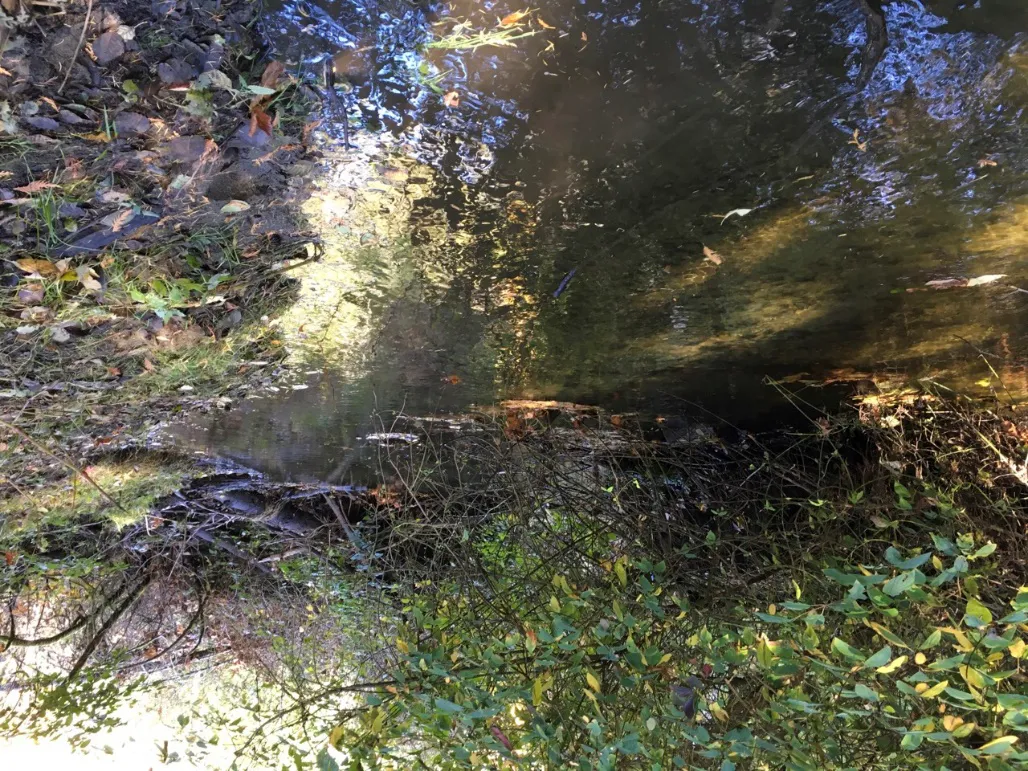
Typical photo of Millstream taken at transect 6 upstream of a log and debris jam. View downstream.

Photo 2 Typical photo of Millstream taken at transect 7. View upstream.
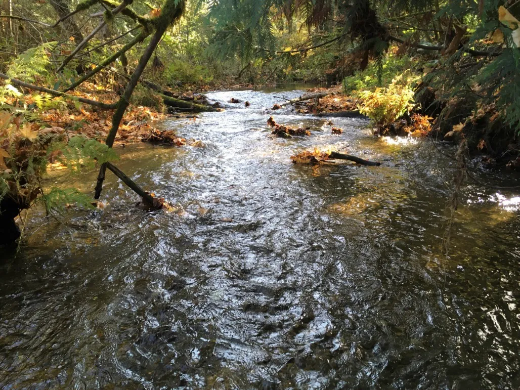
Typical photo of Millstream taken at transect 7. View upstream.
Page 424–426

FORM 1

Riparian Areas Protection Regulation - Qualified Environmental Professional - Assessment Report

Photo 3 View of the existing home and steep slope from the top of bank of Millstream.
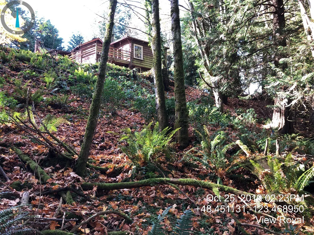
View of the existing home and steep slope from the top of bank of Millstream, showing a residence on a wooded slope with date and coordinate overlay: Oct 25, 2019 02:23PM, +48.451131, -123.468950, View Royal.

Photo 4 The existing modified ravine top of bank behind the existing home.
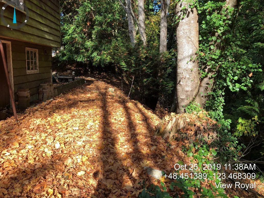
The existing modified ravine top of bank behind the existing home, showing a leaf-covered area next to a building with date and coordinate overlay: Oct 25, 2019 11:38AM, +48.451389, -123.468309, View Royal.
Page 424–426

FORM 1

Riparian Areas Protection Regulation - Qualified Environmental Professional - Assessment Report

Photo 5 A typical view of a log and debris jam including fallen trees from along the high-water mark between transect 5 and 6 (Figure 1).
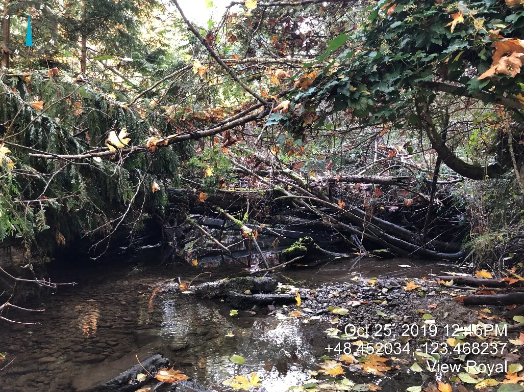
A typical view of a log and debris jam including fallen trees from along the high-water mark between transect 5 and 6 with date and coordinate overlay: Oct 25, 2019 12:46PM, +48.452034, -123.468237, View Royal.

Photo 6 Localized bank failure and tree loss (east bank) due to erosion at a log and debris jam.
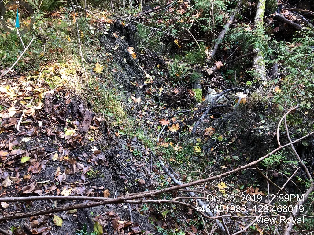
Localized bank failure and tree loss (east bank) due to erosion at a log and debris jam with date and coordinate overlay: Oct 25, 2019 12:59PM, +48.451983, -123.468019, View Royal.
Page 424–426
Extracted from: 2022 02 08 Committee of the Whole Agenda - Agenda - Pdf