This site is in beta — data may be incomplete and features are still being added.
Committee of the Whole/Documents/Photographic Documentation: Hole Assessment at 335 Stewart Ave
Appendix

Photographic Documentation: Hole Assessment at 335 Stewart Ave

November 8, 2022Pages 193–2001 section

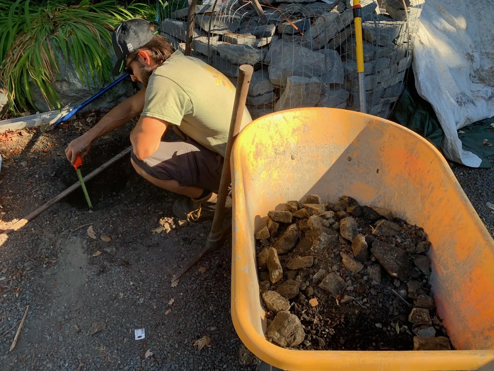
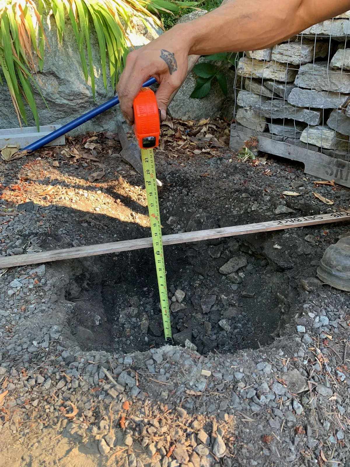
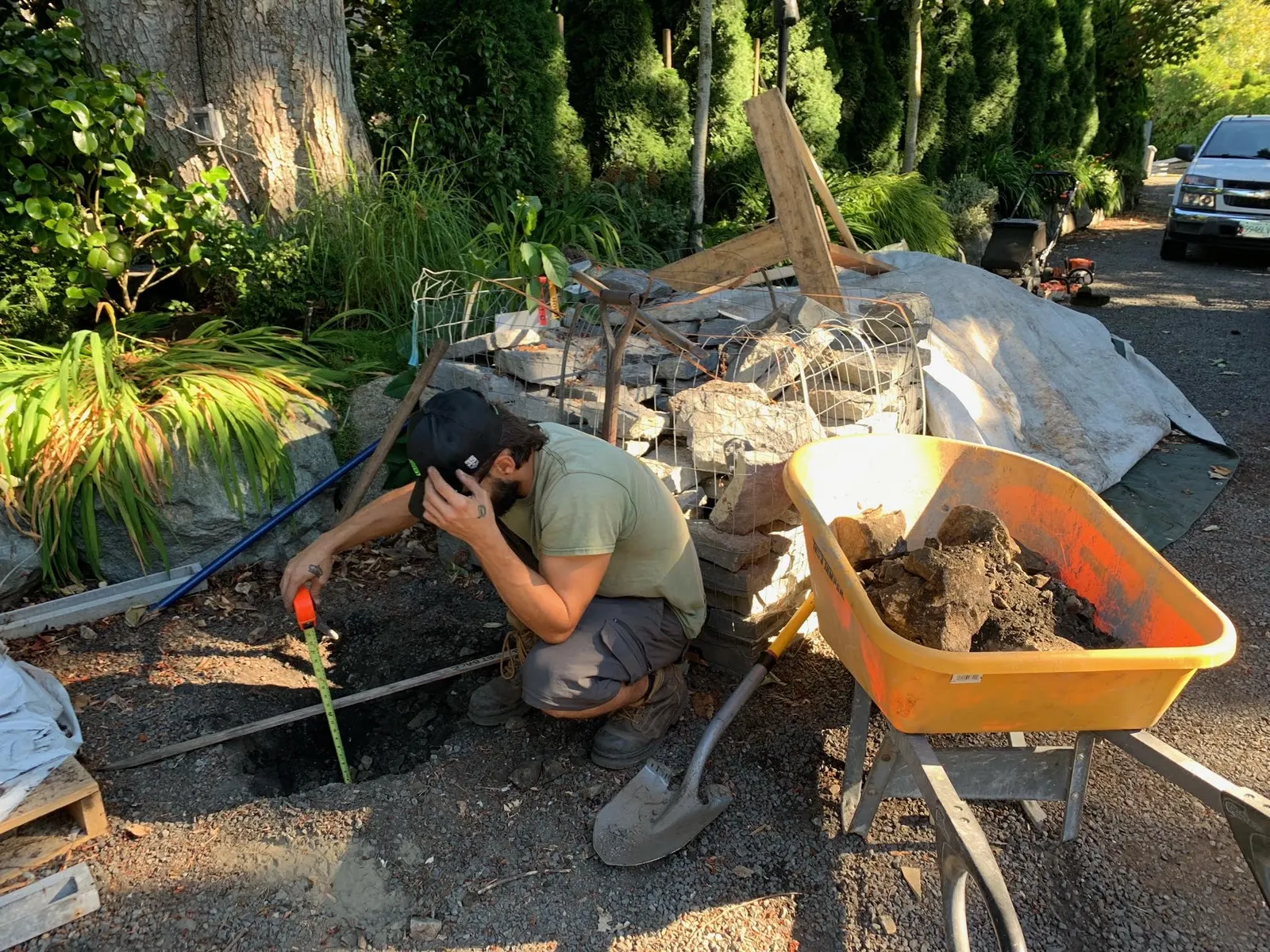
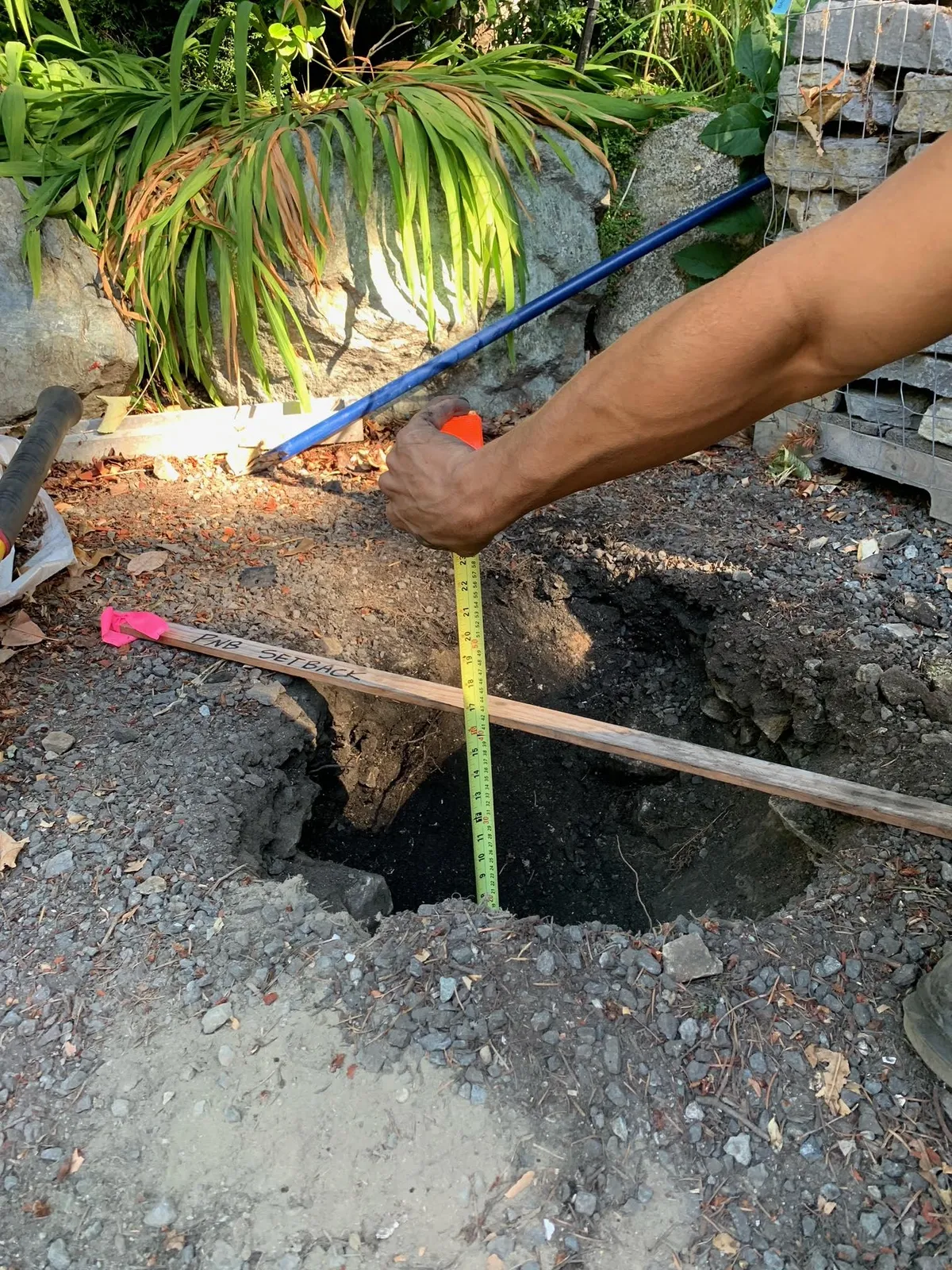
Series of photos showing the excavation and measurements of a soil test hole at 335 Stewart Avenue.

Attachment 8

Gmail - FW: Hole dug by SOL LANDSCAPING at 335 Stewart Ave, View Royal
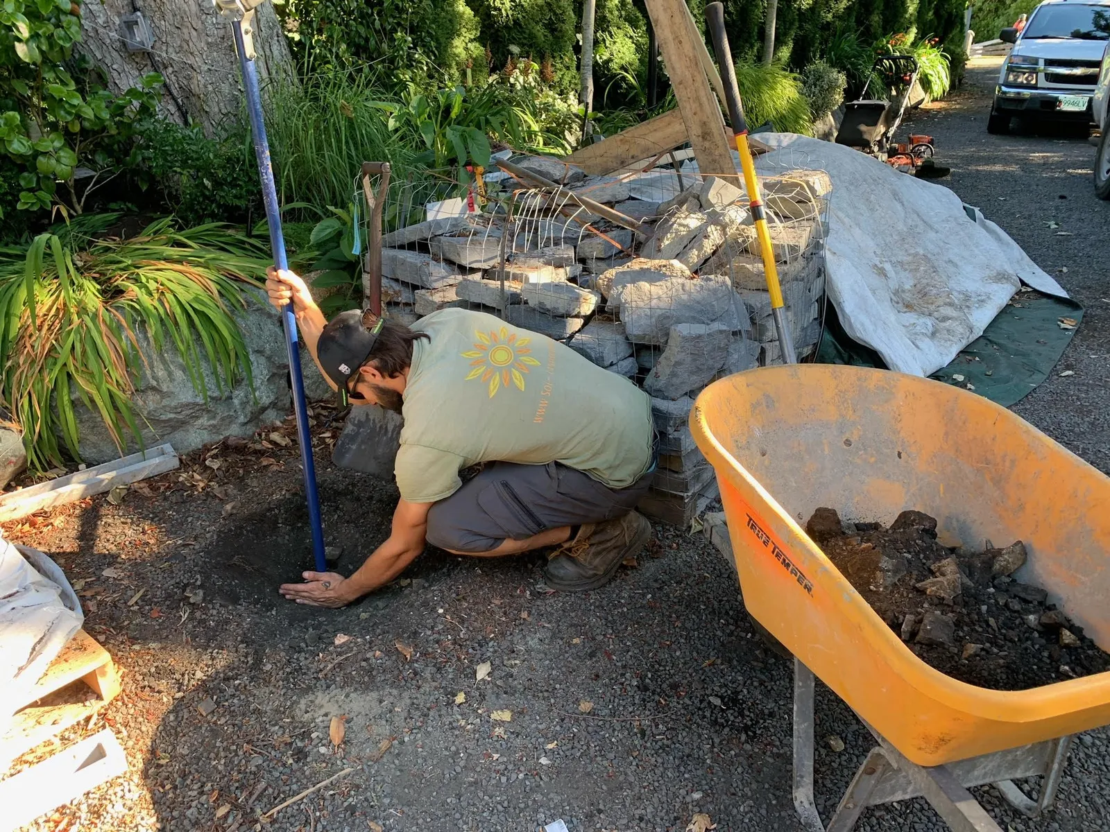
Worker kneeling in a gravel area, preparing to dig or measure a hole, with an orange wheelbarrow and stone wall in the background
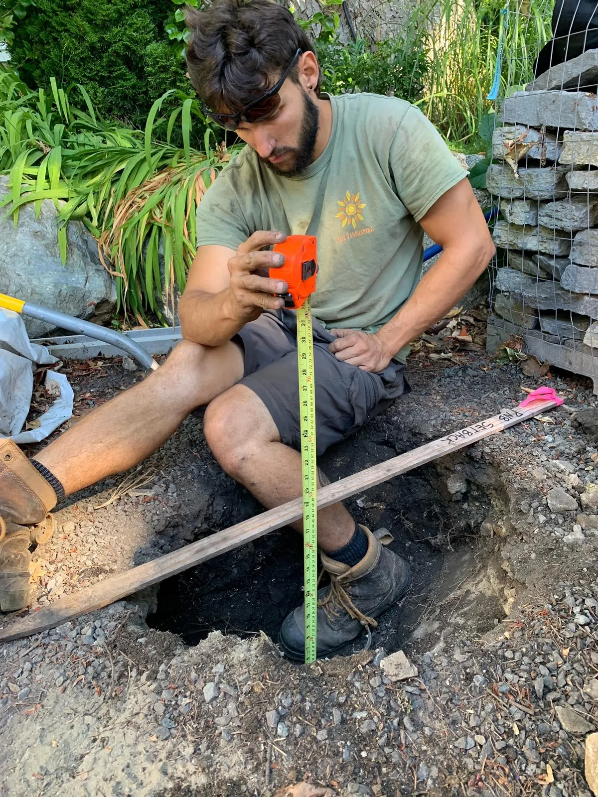
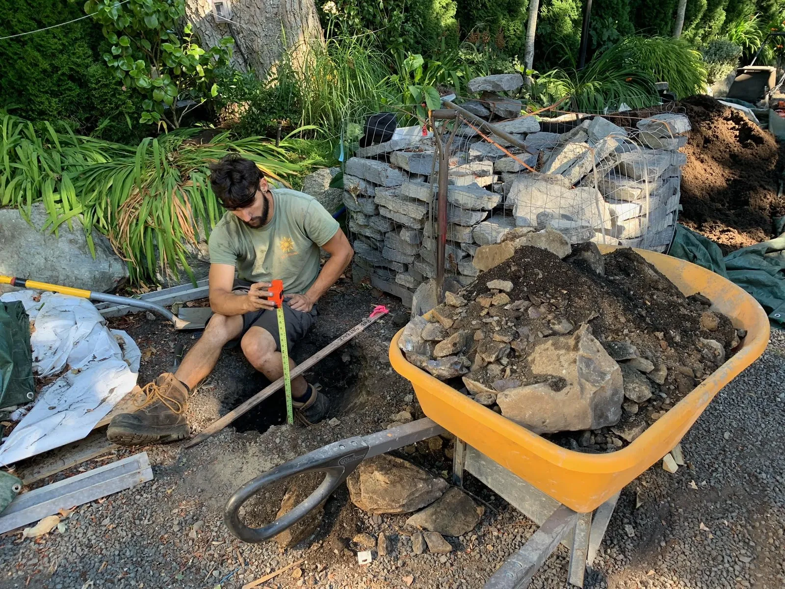
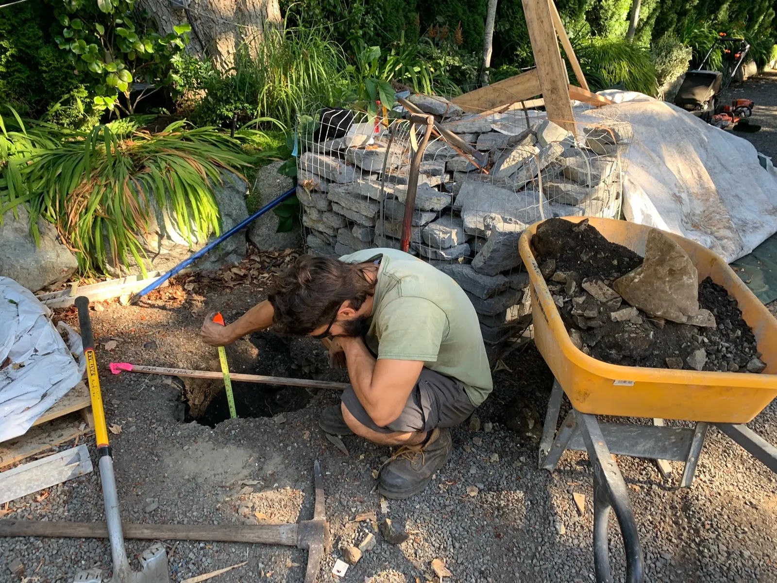
Worker crouched over a hole, measuring depth with a tape measure next to a wooden board
Ground-level shot of gravel with a small white tag on the surface
Close-up of a hand with a tattoo holding an orange tape measure over a hole
Vertical close-up of a hole in the ground with a tape measure showing depth increments
Wide landscape shot of a garden featuring a large tree, green plants, and a partially constructed stone wall
Worker measuring the depth of a dug hole using a tape measure and a wooden board for reference

Best regards,

Cristian Siemens

SOL LANDSCAPING

Page 193–200

Document Images

(1)
Document image
Extracted from: 2022 11 08 Committee of the Whole Agenda - Agenda - Pdf