Appendix
Attachment 1 - ArcGIS Web Map
January 11, 2022Page 1312 sections
An ArcGIS web map showing parcel information for the area surrounding 10 Erskine Lane, including property boundaries and street names.
Scale 1:2,500Date: 2021-Nov-8Address: 10 Erskine Lane
Attachment 1
Page 131
ArcGIS Web Map
Parcel information
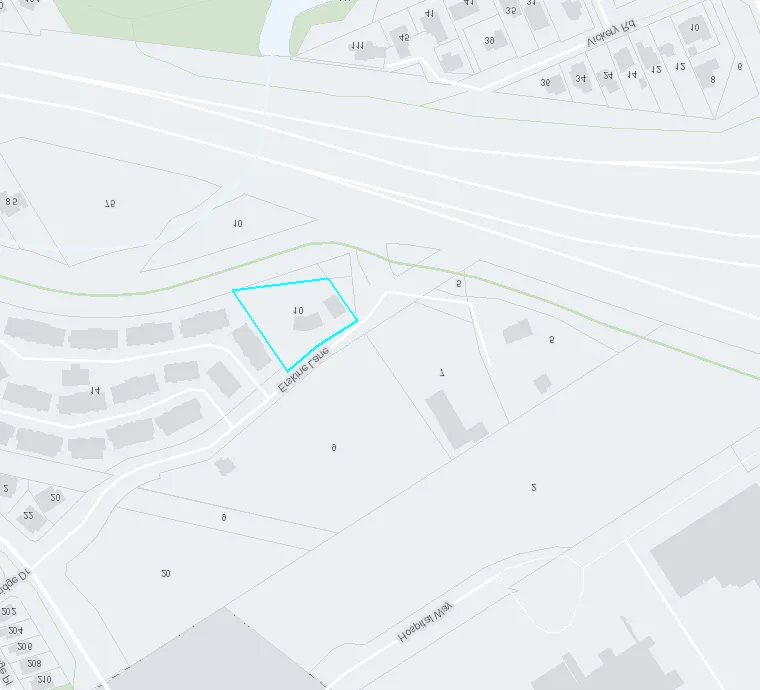
Scale 1:2,500
The Town of View Royal does not guarantee the accuracy of any plans or drawings supplied. Proceed with caution and hand dig as necessary to confirm underground infrastructure locations.
Page 131
Document Images
(1)
Extracted from: 2022 01 11 Committee of the Whole Agenda - Agenda - Pdf