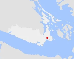
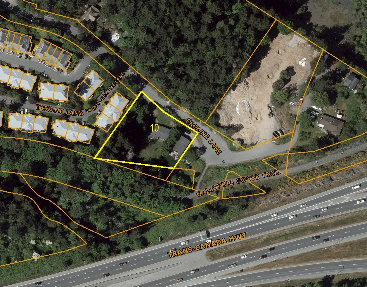
Attachment 2 - 10 Erskine Lane CRD Map
An aerial orthophoto map from the Capital Regional District (CRD) highlighting 10 Erskine Lane and nearby infrastructure like the Trans-Canada Highway and Galloping Goose Trail.
10 Erskine Lane
Legend (No items listed)
Notes (No items listed)
Scale: 1: 1,390 Units: Meters (0 - 35.3 - 70.6) Coordinate System: NAD_1983_UTM_Zone_10N © Capital Regional District
Important: This map is for general information purposes only. The Capital Regional District (CRD) makes no representations or warranties regarding the accuracy or completeness of this map or the suitability of the map for any purpose. This map is not for navigation The CRD will not be liable for any damage, loss or injury resulting from the use of the map or information on the map and the map may be changed by the CRD at any time.