Update from BC Transit - Delegation by C. Mossey
A delegation presentation from BC Transit Senior Manager, C. Mossey, providing an update.
Report to Committee of the Whole
Re: Rezoning Application 2023-04 – 294, 296 Eltham Road & 242 Helmcken Road
Meeting Date: December 12, 2023
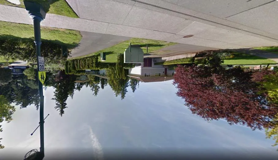
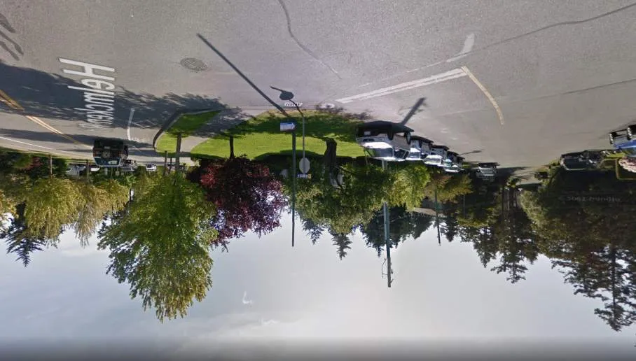
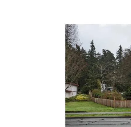
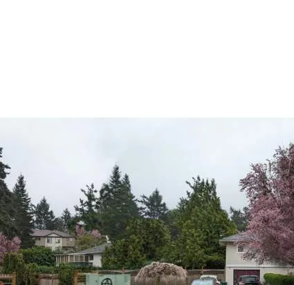
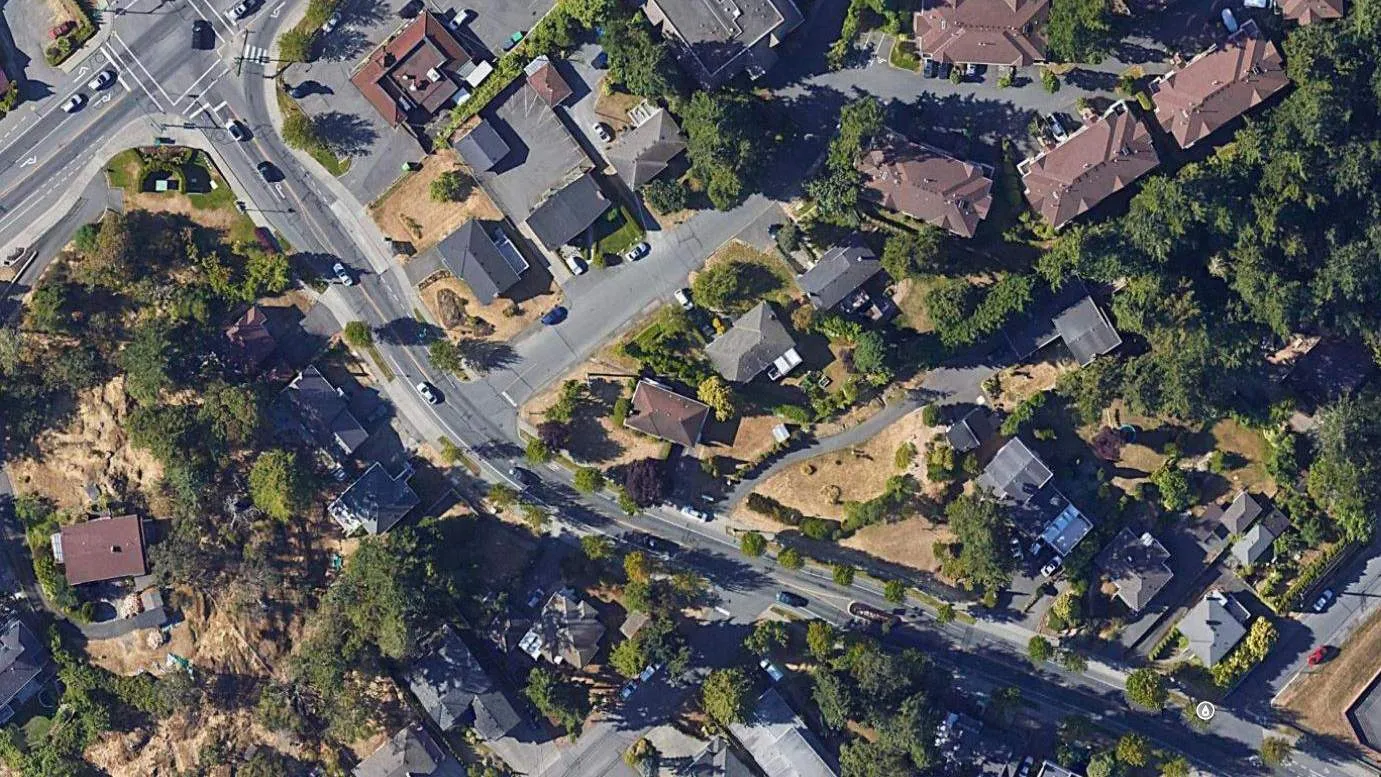
As shown in Figure 3 below, the site is a transition area between the detached residential neighbourhood on Rudyard Road and the Neighbourhood Village center at the Island Highway and Helmcken Road intersection, where a six-storey commercial/residential building is currently under construction.
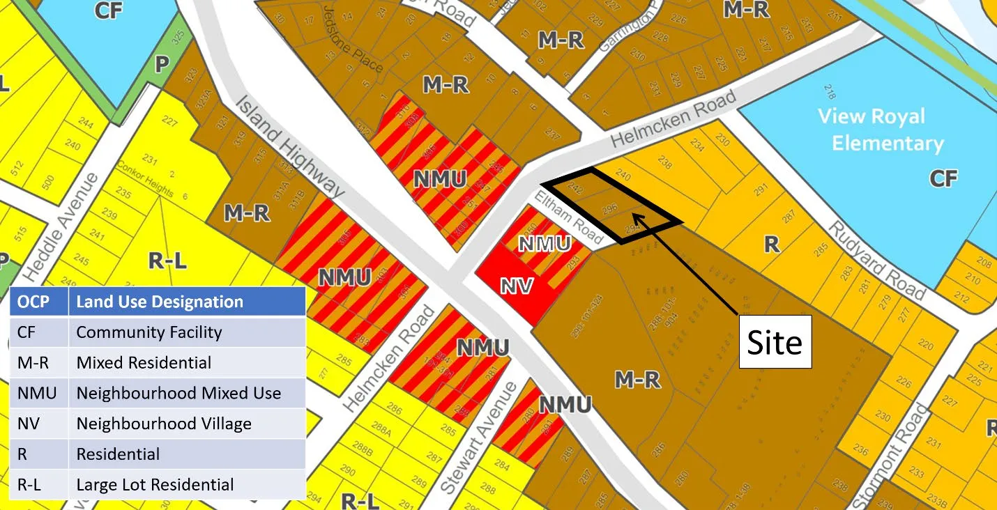
Figure 3. OCP Land Use Designations
The proposal further advances several OCP policies, which are listed in Attachment 4. However, the most significant policies are the following:
Policy HS1.1 Range of Housing Types
Ensure the policies of this Plan and the regulations of the Zoning Bylaw support a range of housing, including detached homes, small lot subdivisions, apartments, townhouses, secondary suites and other typologies that meet the housing needs of current and future residents.
- Special consideration will be given to the provision of ground-oriented units in order to accommodate continued demand for family housing. Increasing the number of garden suites, townhomes, small lot detached houses and other housing forms with ground level entries is essential to realizing the Town’s Vision.
Policy LU4.2 Support Walking, Cycling and Transit
Encourage higher density and mixed-use development at neighbourhood centres and along major transit corridors to promote walkability, cycling and transit use. Support higher residential density, commercial intensity and reduced parking requirements in areas well served by transit.
Policy LU4.5 Street-oriented Buildings
Encourage street-oriented buildings where practical in terms of physical terrain and street configuration.
Proposed Zone
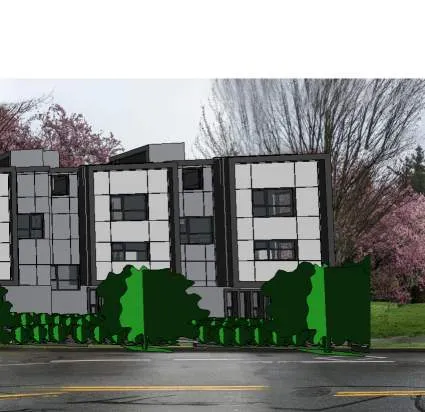
The proposal is to rezone to a new site specific zone (see Attachment 5) that would comply with the Official Community Plan’s Mixed Residential Land Use designation for townhouses. Table 1 following compares the proposal with the exiting C-1 zone.
Table 1. Comparison of Existing and Proposed Zone
| Existing C-1 Zone | Proposed New Zone | |
|---|---|---|
| Lot Size | ||
| Lot Size, minimum | 700m² | 2300m² |
| Lot Width, minimum | 20m | 30m |
| Lot Density | ||
| Floor Space Ratio, Base Density | 0.6 | 1.0 |
| Floor Space Ratio with provision of 80% underground parking | Base Density + 0.1 | n/a |
| Floor Space Ratio Bonus Density provision of 75% green roof | Base Density + 0.1 | n/a |
| Lot Coverage, maximum | 50% | 50% |
| Impermeable Surface Coverage, maximum | 80% | 80% |
| Building Size | ||
| Building Height, maximum | 9m | 12m |
| Building Width, minimum | 6m | 6m |
| Accessory Building Height, maximum | 4.5m | 4.5m |
| Siting of Principal Buildings and Other Structures | ||
| Front Lot Line Setback, minimum | 7.5m | 3.0m |
| Rear Lot Line Setback, minimum | 7.5m | 1.5m |
| Side Lot Line Setback, minimum | 6.0m | 3.0m |
| Flanking Lot Line Setback, minimum | 3.0m | 3.0m |
| Siting of Accessory Buildings and Other Structures | ||
| All lot lines, minimum | 1.2m | 1.2m |
The proposed density is approximately 80.9 units per hectare based on 20 units on a 2472 m² site. Table 2 below compares the proposed density to other multi-unit residential developments in the area.
Table 2. Density Comparison with Recent and Nearby Development
| Development | Address | Units | Lot Area | Units per hectare |
|---|---|---|---|---|
| Royalle – mixed use apartment/commercial (under construction) | 298 Island Hwy | 54 | 0.1853 ha | 291.4 |
| Maija London - apartment | 280 Island Hwy | 37 | 0.1677 ha | 220.6 |
| Grand & Fir – apartment (under construction) | 167/169/171 Island Hwy | 82 | 0.3780 ha | 216.9 |
| Skyeview – apartment (under construction) | 242-244 Island Hwy | 37 | 0.1860 ha | 198.9 |
| Subject Site - townhouses | 294 and 296 Eltham Road and 242 Helmcken Road | 20 | 0.2472 ha | 80.9 |
| Lions Cove - apartment | 288/290 Island Hwy | 66 | 0.8275 ha | 80.0 |
| Townhouses | 235 Island Hwy | 24 | 0.6395 ha | 37.5 |
| Ashley Gate - townhouses | 288 Eltham Rd | 36 | 0.9912 ha | 36.3 |
To ensure that the three subject properties will be preserved as one development site after rezoning, a covenant is recommended to be registered on title to require a lot consolidation of the lands comprising of the entire site prior to building permit issuance. Until consolidation, those lands are not to be sold or otherwise transferred separately. This covenant would keep the lands as a single development site because it is not in the Town’s best interest for individual parcels to be sold or developed individually with the proposed zoning in place.
Tree Retention
An arborist report prepared by GYE + Associates has been provided (Attachment 6) that notes the following:
- there are eight bylaw-protected trees on the site plus 23 hedge cedars (not bylaw-protected) and they would all be removed to accommodate the development concept.
- along the Helmcken Road and Eltham Road boulevards, there are three Armstrong Red maples, one liquidambar, three English hawthorns (an invasive species) and two flowering plums. Six of the nine trees would have to be removed to accommodate the proposed development, but this would provide an opportunity to repopulate the urban forest with species of higher value and a longer life expectancy. The three maples along the Helmcken Road frontage are in good condition and would be retained.
The report indicates that there are no offsite trees growing close enough to the site to be at risk of damage. However, staff will still require a tree retention plan as part of the development permit process. Based on the preliminary landscape plan provided (see Attachment 3), 16 replacement trees and 12 municipal replacement trees, cash-in-lieu, or a combination of the two will have to be provided in accordance with the tree protection bylaw.
Community Amenity Contributions
The Community Amenity Contributions Policy target rate is $4,000 per multi-family residential unit (i.e. townhouse) to be provided prior to building permit issuance. For the 20 units proposed in the development concept, the voluntary contribution would be $80,000 minus any tangible community amenity contributions that Council and the applicant agree to. It is recommended that any community amenity contributions agreed to with the applicant that would be provided after rezoning (such as a rate per unit) be secured in a covenant concurrent with final reading of the rezoning bylaw.
OCP Policy HS1.4 Housing Amenity Contributions also supports a housing amenity contribution to the Town, which could be directed to the CRD Regional Housing Trust Fund. The Community Amenity Contributions Policy calls for 10% of the amount of cash amenities received to be transferred to the Capital Regional District Housing Trust Fund to supplement the Town’s annual contribution.
Transportation Impacts
A traffic impact assessment (TIA) (see Attachment 7) has been provided to the satisfaction of the Engineering Department for rezoning. Of note are the following given interest of the Helmcken Road / Eltham Road intersection in the previous application:
- the TIA notes left turn lanes are not warranted at the Helmcken Road / Eltham Road intersection given the 40 km/h speed limit on Helmcken Road. Intersection sightlines are satisfied given this posted speed limit.
- the Engineering Department is satisfied, in principle, with the driveway access on Eltham Road, as a driveway access on Helmcken Road is not supported.
Fire Access
The development concept’s site plan meets fire truck access requirements.
Frontage Improvements and Site Servicing
A servicing brief prepared by JE Anderson (see Attachment 8) confirms that there is adequate sewer, water and storm drain servicing to accommodate the development concept and a servicing concept (see Attachment 9), shows a preliminary configuration.
The requirements of Subdivision and Development Servicing Bylaw No. 985, 2017 include updated sidewalks along the site frontages. While the concept servicing plan does not show updated sidewalks along its Helmcken Road frontage, staff will ensure that the sidewalk would be fully replaced if it does not meet the current Subdivision and Development Servicing Bylaw Standards, as part of the servicing agreement.
The Subdivision and Development Bylaw also stipulates no net increase in post development site runoff, and ensuring that storm water entering the Town’s drainage system will meet the requirements of Storm Water Regulation Bylaw No. 902, 2015. While the servicing brief provides a technical memo on stormwater management methodology, a detailed design stormwater management plan will be required prior to issuance of the building permit, confirming storage volumes and methodology.
The additional sewer loading due to the proposed rezoning is accounted for in the Town’s Master Sanitary Sewer Plan and DCC program, which is based on the site’s OCP land use designation. A statutory right of way along the north side of the property will be required to allow the Town access to the community sanitary sewer pipe that will be located in this area of the property.
A 3x3 m corner cut at the Helmcken Road / Eltham Road intersection is required in accordance with Town standards because the existing curb face on Helmcken is less than 4 m from the property line. This road dedication would be secured in a legal agreement concurrent with rezoning.
Engineering will require a Section 219 Covenant, as a condition of Building Permit, for the following:
- Property owner’s requirement to maintain the onsite stormwater management structures; and
- Property owner’s requirement to maintain and irrigate any extraordinary landscaping that is proposed within the road right of way and the proposed sanitary sewer right of way.
Public consultation
The applicant conducted a number of neighbourhood open houses for the previous 20-unit townhouse proposal. One community workshop was held for this revised application on August 17, 2023, and 29 exit surveys were received (see Attachment 8). The top concerns were traffic and parking.
SUSTAINABILITY/CLIMATE CHANGE IMPACTS:
The recently adopted Building Bylaw No. 1111, 2023 requires Part 9 buildings as proposed for this development to comply with Step 3 of the Energy Step Code for energy efficiency and Zero Carbon Step Code emissions Level 4 (no fossil fuel appliances used for water heating, primary space heating and indoor cooking). The site’s proximity to transit, the E&N Rail Trail, and an elementary school will support the reduction of GHG emissions by decreasing automobile dependency for new residents.
FINANCIAL IMPLICATIONS:
No significant financial implications are anticipated for the Town.
ALTERNATIVES:
n/a
CONCLUSION:
The proposal is consistent with the Mixed Residential land use designation in the OCP and further advances several OCP policies related to family-oriented housing and home ownership opportunities. The subject site is a suitable location for a townhouse development given that it is one block from View Royal Elementary School, on a Frequent Transit Network bus route, less than 300m from the E&N Rail Trail, and at the edge of the village centre at the Island Highway / Helmcken Road intersection. For these reasons, the rezoning application is supportable.
For the application to move forward, the sustainability statement form should be completed and any other issues identified by the Committee of the Whole should be addressed.
| CONCURRENCE: | Initials | Comments |
|---|---|---|
| Acting Chief Administrative Officer | SJ | Support recommendation |
| REVIEWED BY: | Initials |
|---|---|
| Director of Corporate Administration | Not requested |
| Director of Finance | Not requested |
| Director of Development Services | LT |
| Director of Engineering and Parks | IL |
| Director of Protective Services | Not requested |
ATTACHMENTS:
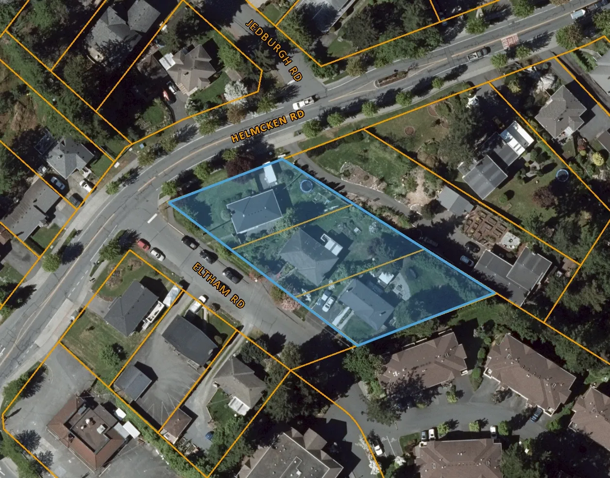
- Subject Property Orthophoto
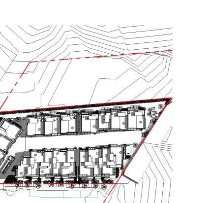
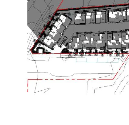
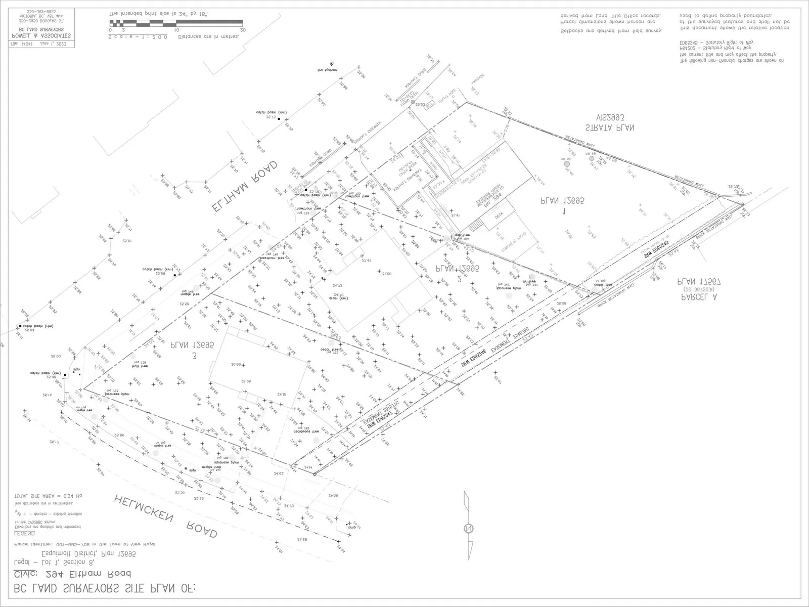
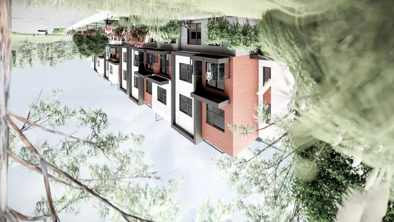
- Architectural Plans - Ankenman Marchand Architects, December 6, 2023 (21 Pages)
- Landscape Plans - Lombard North Group, December 5, 2023
- Official Community Plan policy excerpts (5 pages)
- Draft Zone
- Arborist Report – Gye + Associates, September 12, 2023 (8 pages)
- Transportation Review Report – Addoz Engineering Inc., December 1, 2023 (47 pages)
- Servicing Brief – JE Anderson, November 24, 2023 (6 pages)
- Civil Plan – JE Anderson, December 6, 2023
- Community Workshop Summary – Ankenman Marchand Architects, August 31, 2023 (58 pages)
SHEET NUMBER | SHEET NAME
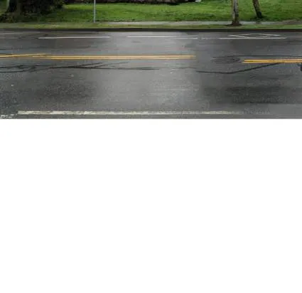
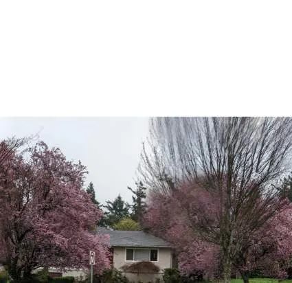
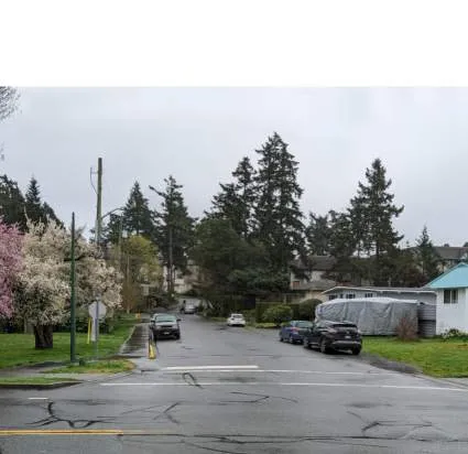
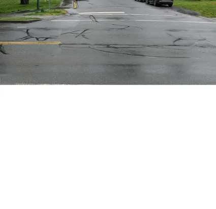
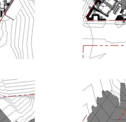
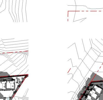
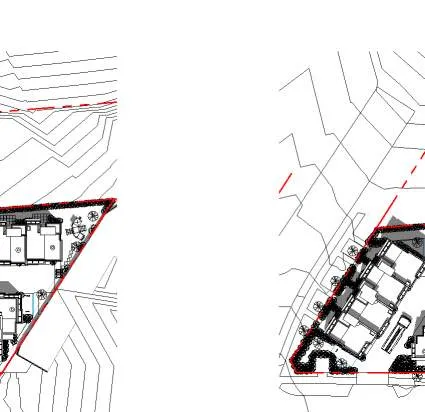
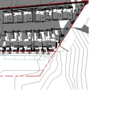
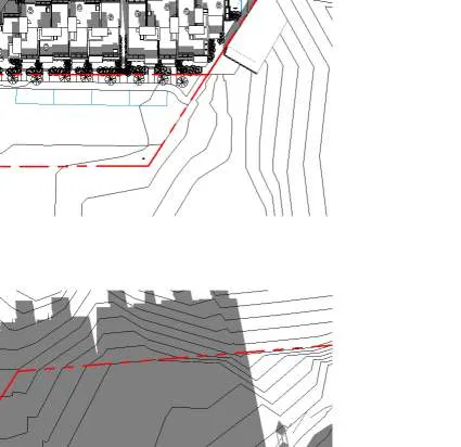
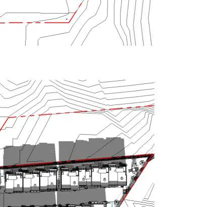
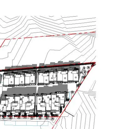
---|--- A001 | COVER PAGE & DRAWING LIST A002 | STATISTICS A030 | CONTEXT - PLAN A032 | CONTEXT - PHOTOS A035 | STREETSCAPE A090 | SHADOW STUDY A095 | SURVEY A100 | SITE PLAN A110 | GROUND FLOOR PLAN A120 | LEVEL 2 FLOOR PLAN A130 | LEVEL 3 FLOOR PLAN A140 | ROOF LEVEL PLAN A150 | FIREFIGHTER ACCESS PLAN A200 | ELEVATIONS - SOUTH & NORTH A210 | ELEVATIONS - EAST & WEST A225 | ELEVATIONS - INTERNAL COURT NORTH & SOUTH A300 | SITE SECTIONS A310 | SECTIONS A320 | SECTIONS A600 | 3D REPRESENTATIONS A900 | AREA PLANS
STATISTICS
NET FSR SCHEDULE
| Unit # | Name | Area SF | Area m2 |
|---|---|---|---|
| 001 | RESIDENTIAL | 974.45 ft² | 90.53 m² |
| 002 | RESIDENTIAL | 1234.45 ft² | 114.68 m² |
| 003 | RESIDENTIAL | 1355.68 ft² | 125.95 m² |
| 004 | RESIDENTIAL | 1201.76 ft² | 111.65 m² |
| 005 | RESIDENTIAL | 1180.10 ft² | 109.64 m² |
| 006 | RESIDENTIAL | 1242.58 ft² | 115.44 m² |
| 007 | RESIDENTIAL | 1179.59 ft² | 109.59 m² |
| 008 | RESIDENTIAL | 1172.22 ft² | 108.90 m² |
| 009 | RESIDENTIAL | 899.87 ft² | 83.60 m² |
| 010 | RESIDENTIAL | 1136.86 ft² | 105.62 m² |
| 011 | RESIDENTIAL | 1186.02 ft² | 110.18 m² |
| 012 | RESIDENTIAL | 1183.53 ft² | 109.95 m² |
| 013 | RESIDENTIAL | 1182.36 ft² | 109.84 m² |
| 014 | RESIDENTIAL | 1211.45 ft² | 112.55 m² |
| 015 | RESIDENTIAL | 1263.03 ft² | 117.34 m² |
| 016 | RESIDENTIAL | 1242.65 ft² | 115.45 m² |
| 017 | RESIDENTIAL | 1273.27 ft² | 118.29 m² |
| 018 | RESIDENTIAL | 887.38 ft² | 82.44 m² |
| 019 | RESIDENTIAL | 1297.65 ft² | 120.56 m² |
| 020 | RESIDENTIAL | 1297.78 ft² | 120.57 m² |
| Grand total | 23602.70 ft² | 2192.76 m² |