APPENDIX 1. Piling Replacement Proposal 335 Stewart Ave. - Subtidal Habitat Assessment
A biological assessment report of the subtidal environment near the project site at Limekiln Bay.
APPENDIX 1. Piling Replacement Proposal, 335 Stewart Ave., View Royal, BC, Subtidal Habitat Assessment. Dr. Joachim Carosfeld, Executive Director, World Fisheries Trust
Piling Replacement Proposal
335 Stewart Ave., View Royal, BC
Subtidal Habitat assessment
Joachim Carolsfeld & Lee Critchley
Oct. 11, 2020.
Overview:
The creosote pilings of the dock associated with 335 Stewart Ave., View Royal (Fig. 1) are deteriorating, requiring replacement. The work will take place approximately 15 m from the shore (fig. 2).
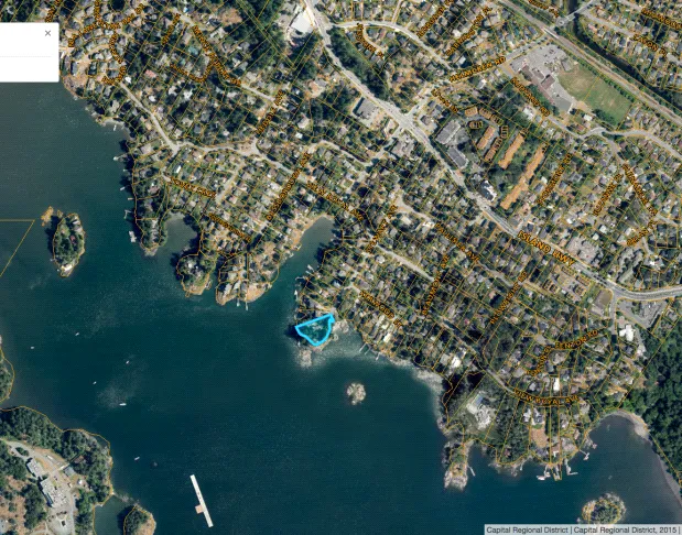
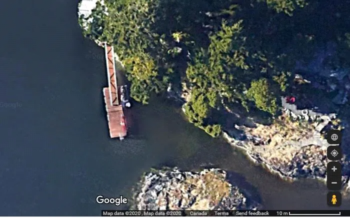
The current report is a description of the subtidal environment of the immediate area, to inform assessment of environmental risk associated with the project.
Methodology:
The area was filmed by a diver in approximately a 10m radius of the proposed work site, extending from the base of the shoreline to a depth of 4.2m This footage examined for biophysical description.
Location description
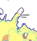
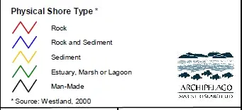
The location is at the mouth of Limekiln Bay, part of the Esquimalt Harbour, an area characterized in the CRD Harbours Atlas (Fig. 3). In general, this is a bedrock and boulder shoreline, with pocket beaches, leading to a shallow soft bottom.
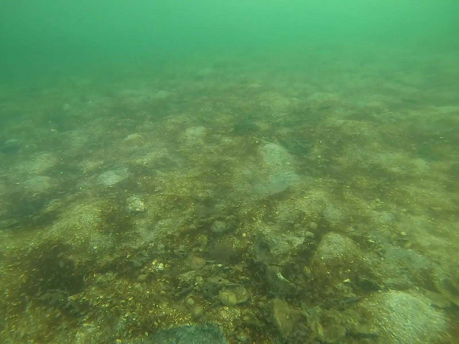
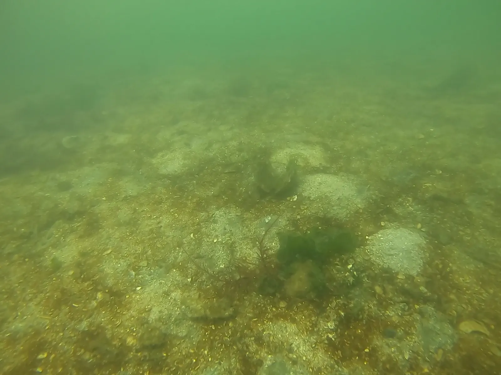
The site evaluation confirmed this general character – a bedrock and boulder-rich steep shoreline extends approximately 2 m (horizontally) from the highest High tide line, reaching a sandy mud bottom at a depth of 1.1-1-8 m. The mud bottom extends at a low slope into the harbour, in this assessment to a depth of 4.2 m., with scattered debris, rocks, and patches of gravel.
Biological assessment:
The subtidal boulder region is dominated by sea lettuce (Ulva lactuca) in shallow water, progressing to large leafy kelp (Laminaria groenlandica). This kelp is also abundant on the dock and, as large plants, in one of the transects with more debris and rocks on the mud bottom, extending to the end of survey. A similar fringed kelp, Agarum fimbriatum, is likely mixed in with this, particularly in deeper water. Otherwise, the sandy mud bottom has a thick diatom biofilm, pock-marked by active clam and worm burrows (Fig. ..), with Laminaria kelp and plumose anenomes (Metridium spp.) attached to debris.
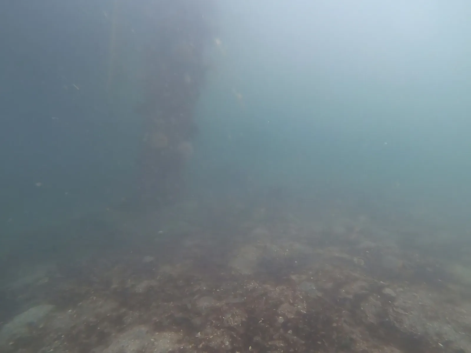
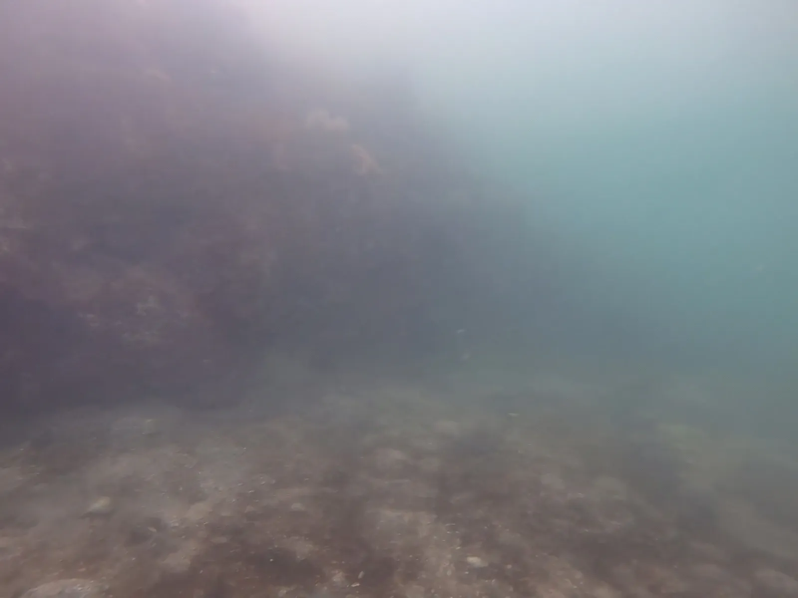
Figure 5. An existing piling, showing plumose anenomes, in sandy mud bottom
Figure 6. Base of rock shoreline with kelp where it meets sandy mud bottom
Some clumps of Gracilaria filamentous red algae and drift sea lettuce (Ulva) are present, Dungeness crabs are common (Cancer magister), and a mottled seastar (Evasterias troschelli) was observed. Judging from the excavation marks in the sand, the crabs (including the similar Cancer gracilis – graceful rock crab) and different species of clam-digging seastars are likely present in transient fashion. A school of juvenile herring was observed, but no other fish. Small fish and shrimp are nevertheless likely present in the Laminaria kelp bed. No eelgrass is reported for the head of Limekiln Bay, but was considered of patchy occurance in Esquimalt Harbour (AMR, 2004). None was observed at this site, likely because it is too deep.
The existing pilings are also covered with diatom film and barnacles, with scattered plumose anenomes and colonial tunicates.
Summary:
No eelgrass was observed in the project area. The sandy mud bottom, with rich clam resources and Laminaria kelp bed, are typical of this region and widespread. Piling replacement, assuming adequate control of creosote leakage during removal, should not affect any sensitive habitats.
Reference:
Archipelago Marine Research (AMR). 2004. Subtidal Survey of Physical and Biological Features of Esquimalt Harbour. Report and Map Folio. Report to Victoria and Esquimalt Harbours Environmental Program, Transport Canada and Formation Environment Risk Management, CFB Esquimalt, Department of National Defence. 76 pp.