Piling Installation Proposal - 333A Stewart Ave., View Royal, BC - Subtidal Habitat assessment
Technical assessment of the subtidal environment and biophysical description of the project site at 333A Stewart Avenue.
Piling Installation Proposal
333A Stewart Ave., View Royal, BC Subtidal Habitat assessment
Joachim Carolsfeld & Lee Critchley Mar. 31, 2021
Overview:
It is proposed to add pilings to the existing legal dock associated with 333 Stewart Ave., View Royal (Fig. 1), to provide it greater stability – especially during storms. The work will take place approximately 15 m from the shore (fig. 2).
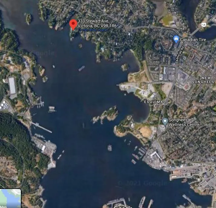
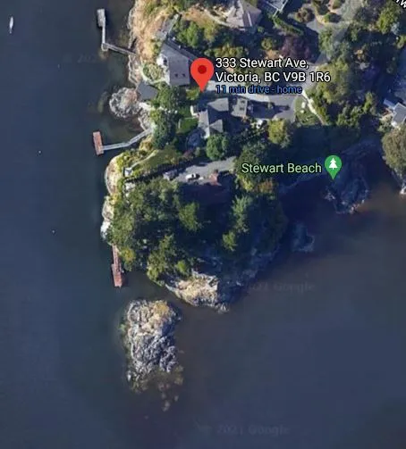
The current report is a description of the subtidal environment of the immediate area, to inform assessment of environmental risk associated with the project.
Methodology:
The area was filmed by Lee Critchley in a zig-zag matrix from 2-4.2 m depth. This footage was examined for biophysical description.
Location description
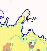
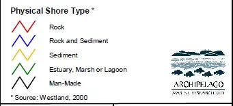
The location is at the mouth of Limekiln Bay, part of the Esquimalt Harbour, an area characterized in the CRD Harbours Atlas (Fig. 3). In general, this is a bedrock and boulder shoreline, with pocket beaches, leading to a shallow soft bottom.
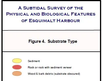
Figure 3. Substrate type of Limekiln Bay (AMR, 2004)
The site evaluation confirmed this general character – a bedrock and boulder-rich steep shoreline drops to a sandy mud bottom at a depth of about 2 m. The soft bottom extends at a low slope into the harbor, with scattered debris and rocks.
Biological assessment:
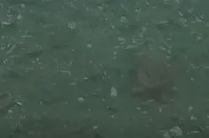
At the time of the survey (January, 2021), the mud bottom in the area of the proposed pilings was devoid of large algae or eelgrass, with some wireweed Sargassum and bladed kelp Laminaria on larger rocks. More algae are present on the rock shore, including a variety of bladed red algae, and may be more prevalent later in the year. Otherwise, the sandy mud bottom has a thick diatom biofilm, pock-marked by active clam and worm burrows (Fig. 4), with numerous plumose anenomes (Metridium spp.) attached to debris. The pink starfish Pisaster brevispinus was observed, likely responsible for numerous clam excavation pits. Red rock crabs were also seen (Fig. 6).
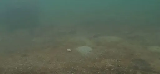
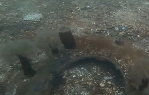
Figure 6. Rock crab on mud substrate
Summary:
No eelgrass was observed in the project area. The sandy mud bottom, with rich clam resources and Laminaria kelp bed, are typical of this region and widespread. Piling placement should not affect any sensitive habitats.
Reference:
Archipelago Marine Research (AMR). 2004. Subtidal Survey of Physical and Biological Features of Esquimalt Harbour. Report and Map Folio. Report to Victoria and Esquimalt Harbours Environmental Program, Transport Canada and Formation Environment Risk Management, CFB Esquimalt, Department of National Defence. 76 pp.