167, 169, & 171 ISLAND HIGHWAY PORTAGE PARK RESIDENCES DESIGN RATIONALE
Architectural design rationale and renderings for the proposed Portage Park Residences condominium development.
167, 169, & 171 ISLAND HIGHWAY
PORTAGE PARK RESIDENCES
DESIGN RATIONALE
COUNCIL MEETING PRESENTATION
JULY 20, 2021
DEVELOPMENT INFORMATION
Building type: Condominium Zoning: Rezoning from a single family residential zone to a CD-Zone (Comprehensive Development Zone) Site area: 3780 sq. m Floor area: 6000 sq. m (approx) No. of units: 87 units (mix of studio, 1 bed, 2 bed and 3 bed units)
Parking spaces:
- 98 Underground parking spaces (approx.) which meets zoning bylaw requirement
- 06 Surface visitor parking spaces
- 01 Drop off + turnaround space at building entry
| Proposed | Permitted | Notes | |
|---|---|---|---|
| No. of storeys: | 5 storeys w/ setback (Park side) 4 storeys (Pub side) |
4 storeys (in OCP) | Increase open space / preserve views to Park |
| Density: | 1.6 FSR | 1.6 FSR (in RM-3 & OCP) | |
| Site Coverage: | 40% (approx.) | 60% (in RM-3 zone) |
| Setbacks: | Proposed | Permitted | Notes |
|---|---|---|---|
| Front Setback (Hwy) | 7.0m | 7.0m (in RM-3 Zone) | Preserve views to Park / increase open space |
| Side Setback (Pub) | 4.0m | 4.0m (in RM-3 zone) | |
| Side Setback (Park) | 4.0m | 4.0m (in RM-3 Zone) | |
| Rear Setback (Park +Trail) | 7.5m | 7.5m (in RM-3 Zone) |
PROJECT OVERVIEW
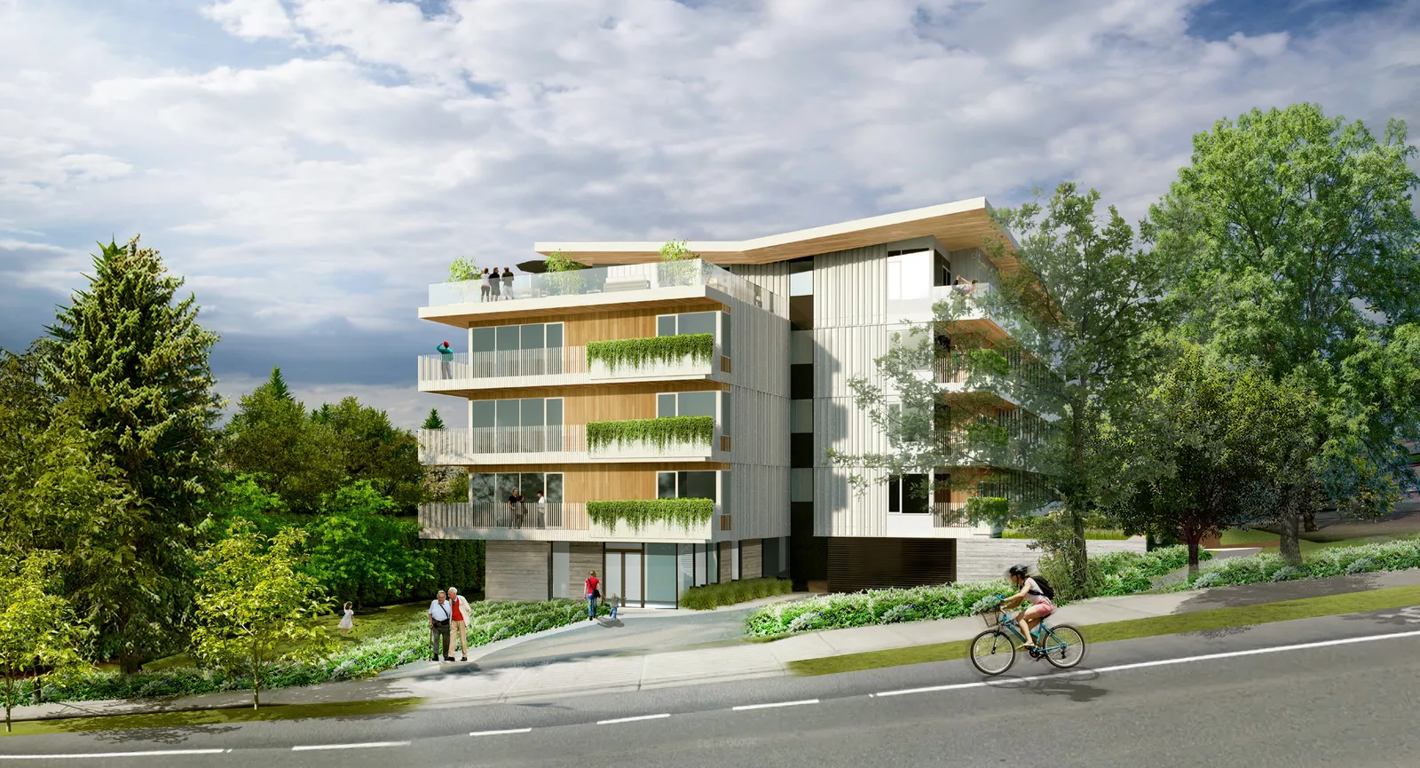
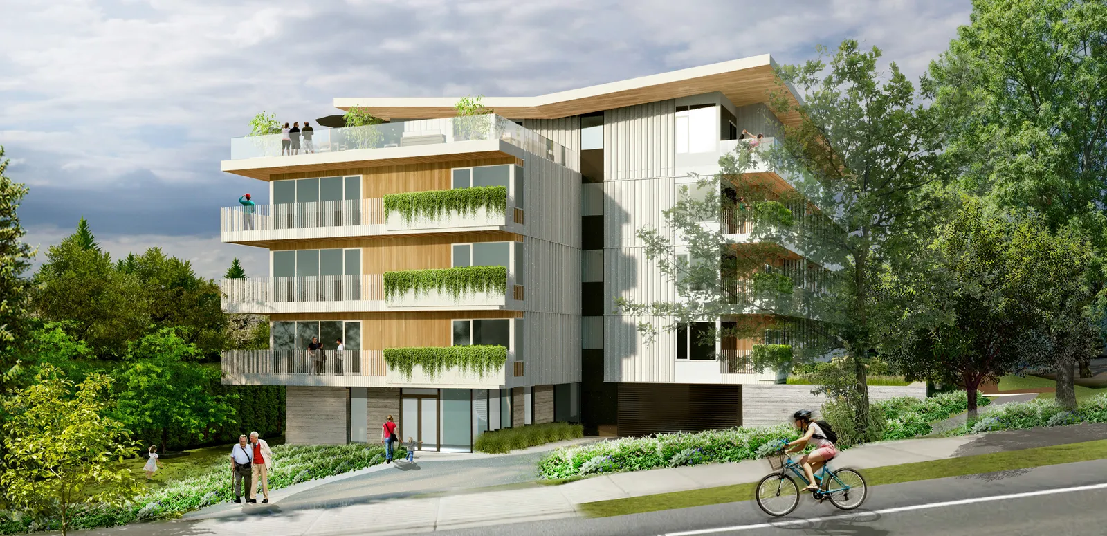
This rezoning application is for a proposed 87 unit multi-family building to be located on 167, 169 and 171 Island Hwy. The building is 5 storeys in height and located over 1 level of underground parking. It will include a variety of suite types including studio, 1 bed, 2 bed and 3 bed options.
The proposed parking count for the development meets the RM-3 zoning bylaw requirements with 98 underground spaces, 6 surface visitor spaces and 1 drop off space at the building entry.
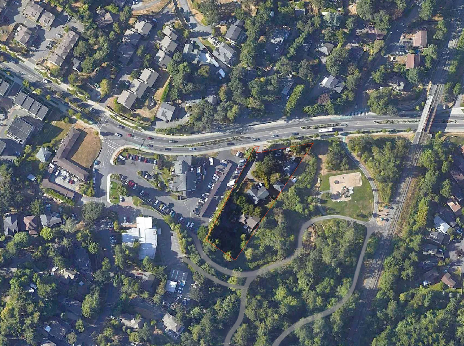
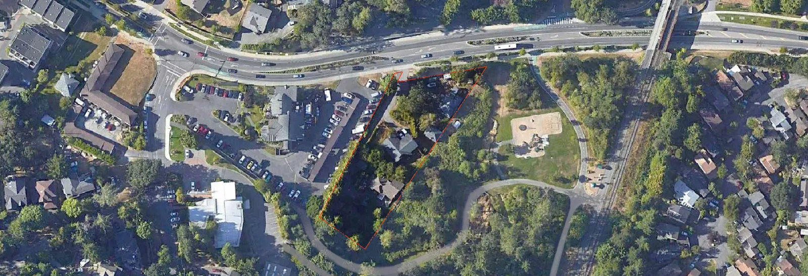
CONTEXT
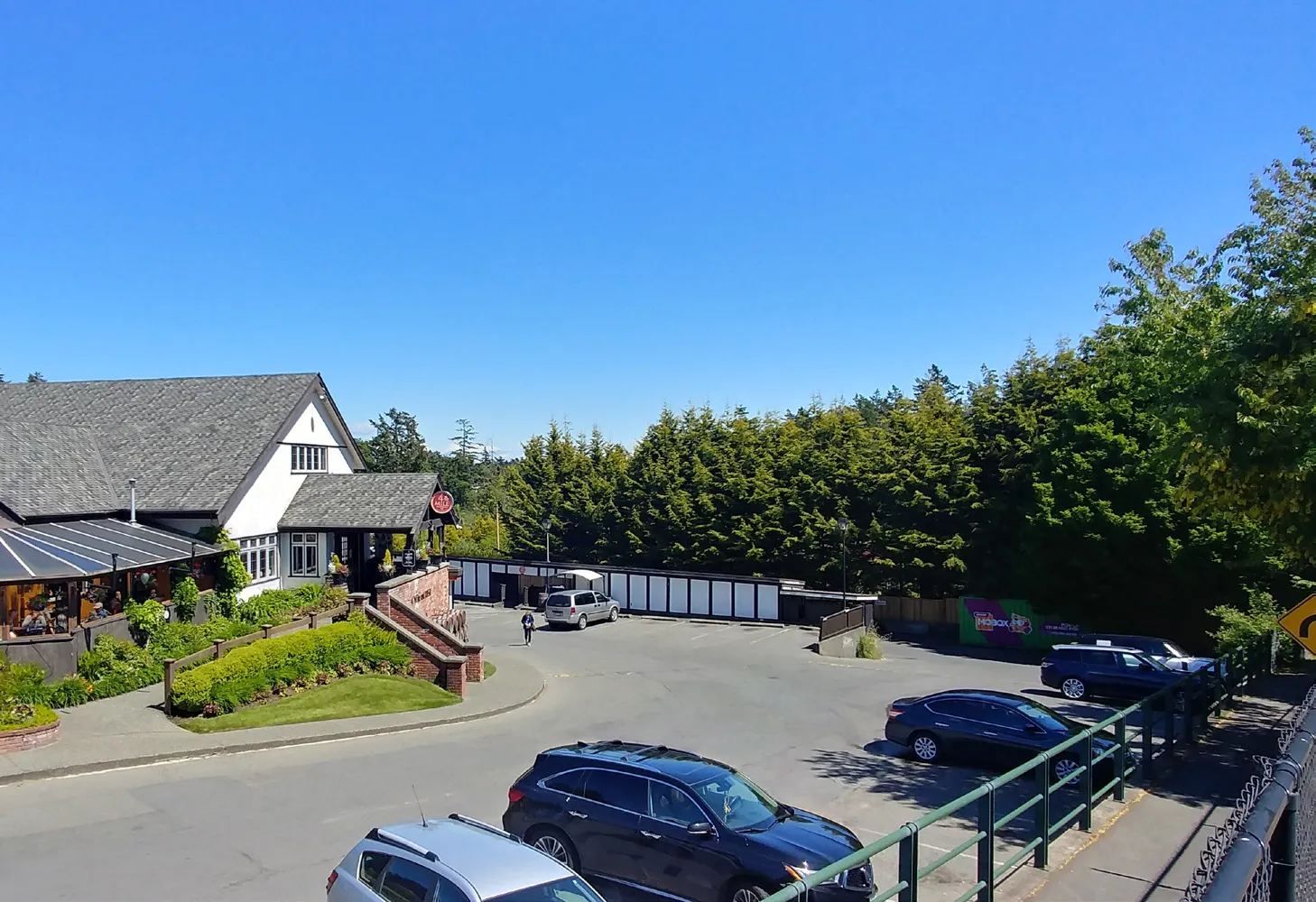
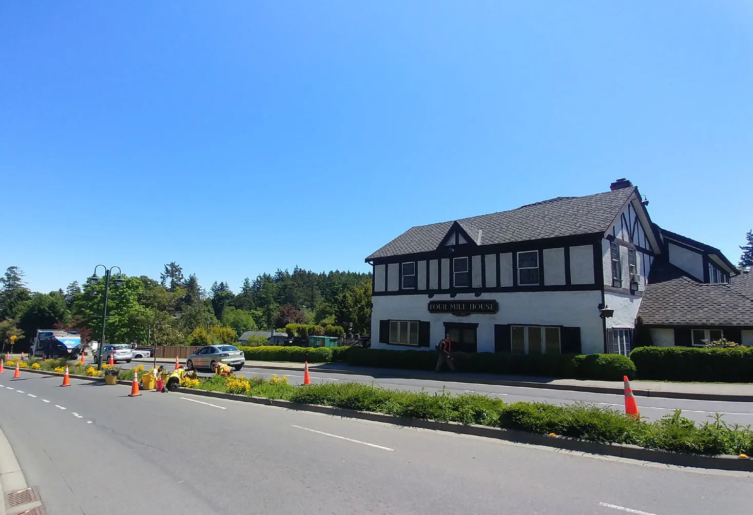
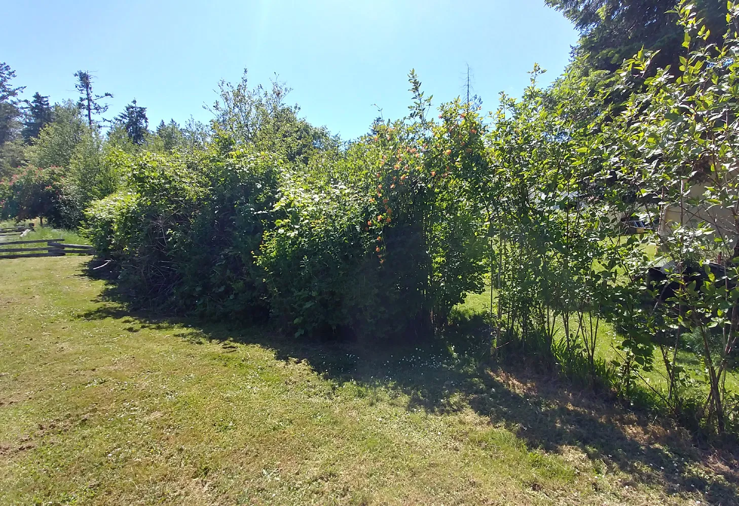
The site is located on the south side of the Island Hwy and is situated between the Four Mile House to the west and Portage Park which wraps the site along both the east and south edges. The existing property contains 3 single family lots that are proposed to be consolidated into a single lot.
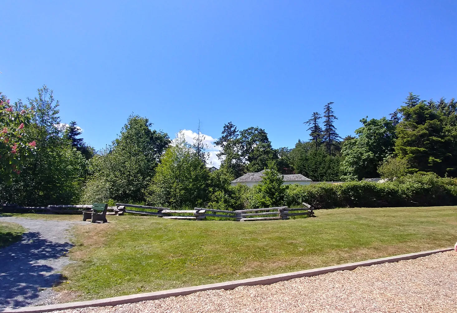
Portage Park is an important community amenity which provides a playground, a network of walking trails and beach access to Thetis Cove. The Park also provides a heavily forested zone along the west and south edges of the site which helps create a natural buffer between the site and the open areas of the Park.
SITE PHOTOS
1 - VIEW TO THE SOUTHWEST FROM ISLAND HIGHWAY
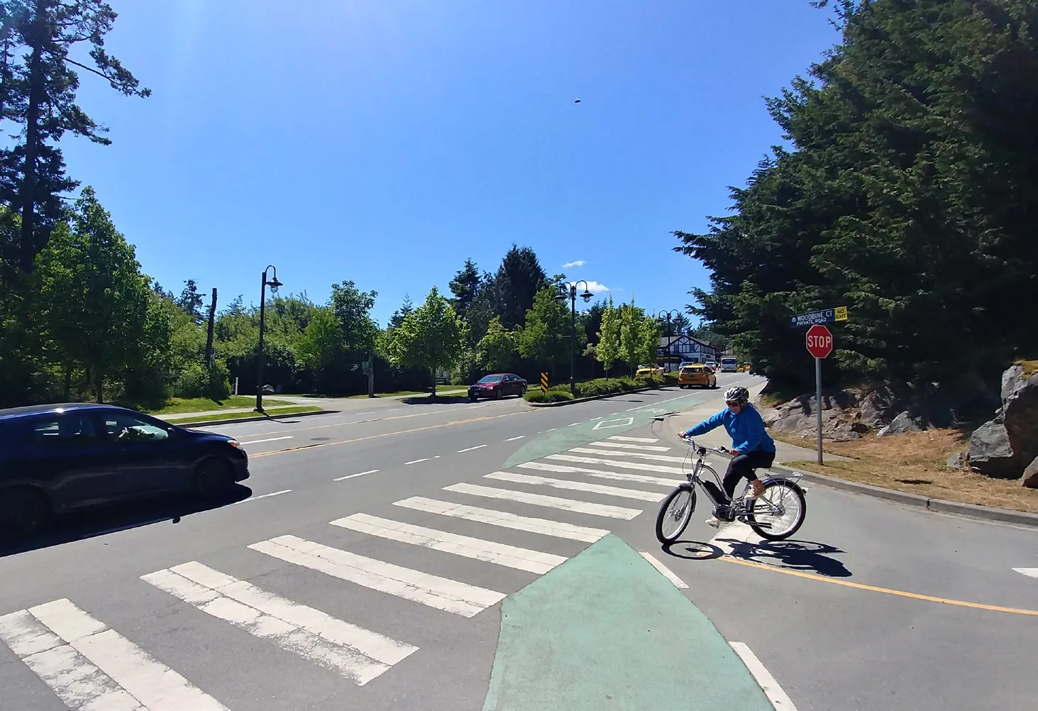
2 - VIEW TO THE SOUTHEAST FROM ISLAND HIGHWAY
3 - VIEW TO THE SOUTHEAST FROM VIEW ROYAL AVE.
1 - VIEW TO THE NORTH FROM TRAIL TO BEACH
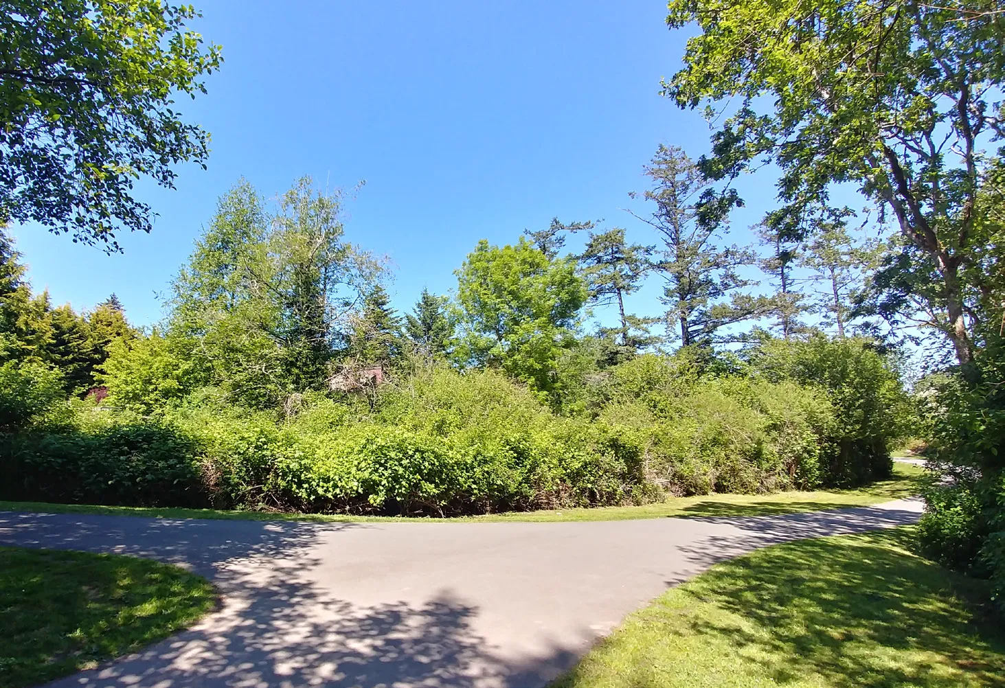
2 - VIEW TO THE NORTHWEST FROM PARK PLAYGROUND
3 - VIEW TO THE SOUTHWEST FROM PARK
BUILDING SITING & MASSING
The proposed building is positioned significantly back from the front property line (Island Highway) in order to preserve views into the Park as pedestrians or vehicles approach from the west along the highway. This setback also helps provide a sense of openness at the Park entry by not crowding that area.
There is a significant forested buffer between the building and the park trail which helps create a sense of separation while preserving the natural feel of both the trail and the open area in the Park. Additional plantings and trees proposed along the site edges that border the Park will also help screen the building from the Park and provide for a natural transition between them.
Given the natural slope of the site the building height ranges between 4 to 5 storeys. It appear like 4 storeys along the pub side and 5 storeys with a setback upper storey along the Park side. The OCP calls for 4 storeys however we feel that height of this building is appropriate given the slope of the site and the increased building setback proposed from the front property line. The additional height also allows for reduced site coverage of approx. 30% and more open green space.
[Diagram: Site Plan showing building footprint, surface parking, and relationship to Portage Park]
[Diagram: Site Section showing building elevation against the slope between Four Mile House and Portage Park]
STREETSCAPE
The character of the existing streetscape along Island Highway will be maintained and enhanced in order to keep its green appearance with flowering trees in the boulevard, while a hedge along the property line will be retained and protected. There will also be substantial landscaping and new trees located in the "front yard" of the development which will further enhance this area and help it blend into the greenery of the adjacent Park.

STREET ELEVATION ALONG ISLAND HWY [Diagram: Street elevation showing the relationship between Portage Park, the proposed building, and Four Mile House]
MATERIAL PALETTE
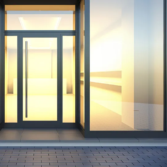
- ALUMINUM STOREFRONT WINDOWS (COLOUR: WHITE)
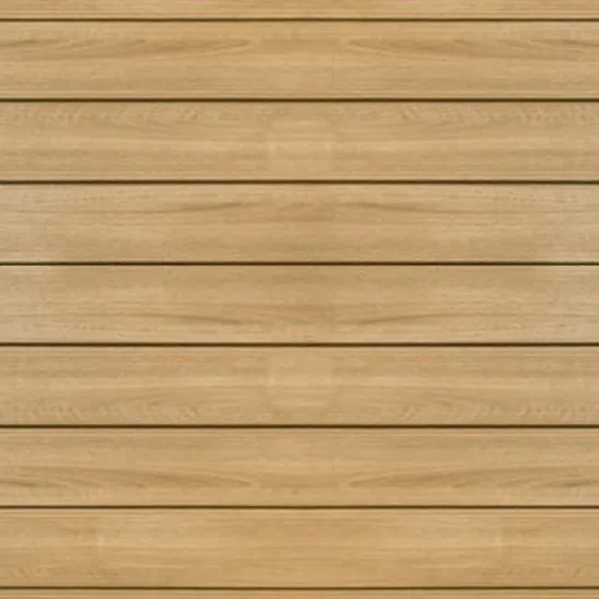
Material swatch of a white aluminum window frame - ALUMINUM VERTICAL SIDING (COLOUR: WOOD TEXTURE)
Material swatch of vertical siding with a wood texture - FIBER CEMENT PANEL (COLOUR: DARK GREY)

Material swatch of a dark grey fiber cement panel - FIBER CEMENT BOARD W/ RANDOM BATTENS (COLOUR: WHITE)
Material swatch of white fiber cement board with random battens - FIBER CEMENT BOARD (COLOUR: WHITE)
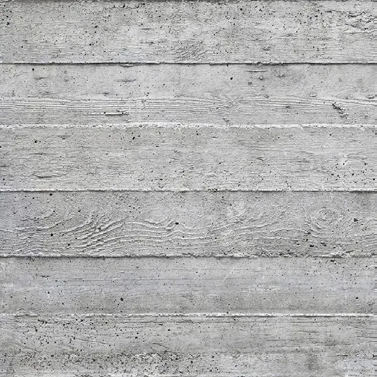
Material swatch of a white fiber cement board - BOARDFORM CONCRETE
Material swatch of boardform concrete texture
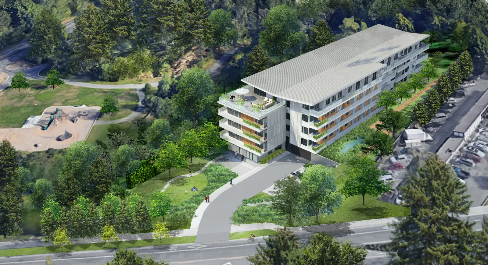
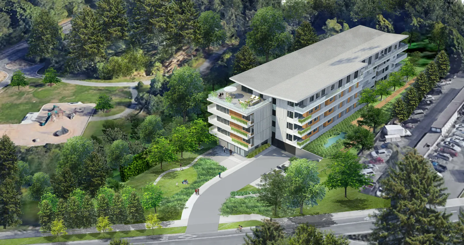
ARCHITECTURAL RENDERINGS | VIEW FROM PARK
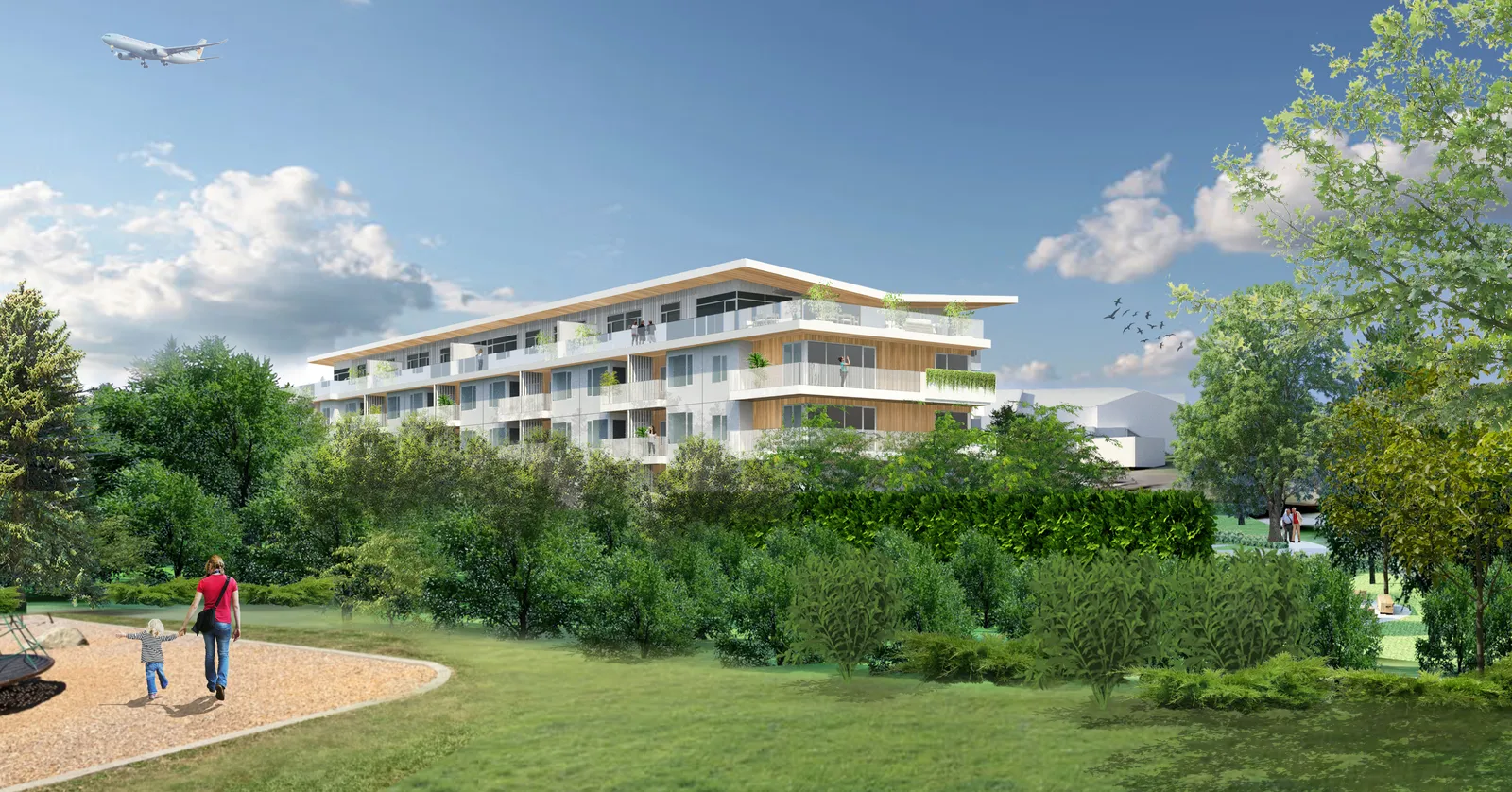
ARCHITECTURAL RENDERINGS | AERIAL VIEW