Survey results: 45% want more trees, 35% want washroomsKey features: permanent washroom, fenced dog park, viewing platformDecision: No new bridge, no changes to community gardens
View Royal Park
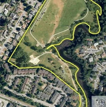
Aerial photograph of View Royal Park with boundary outline
Page 148–157
Existing Conditions
March 3rd 2020
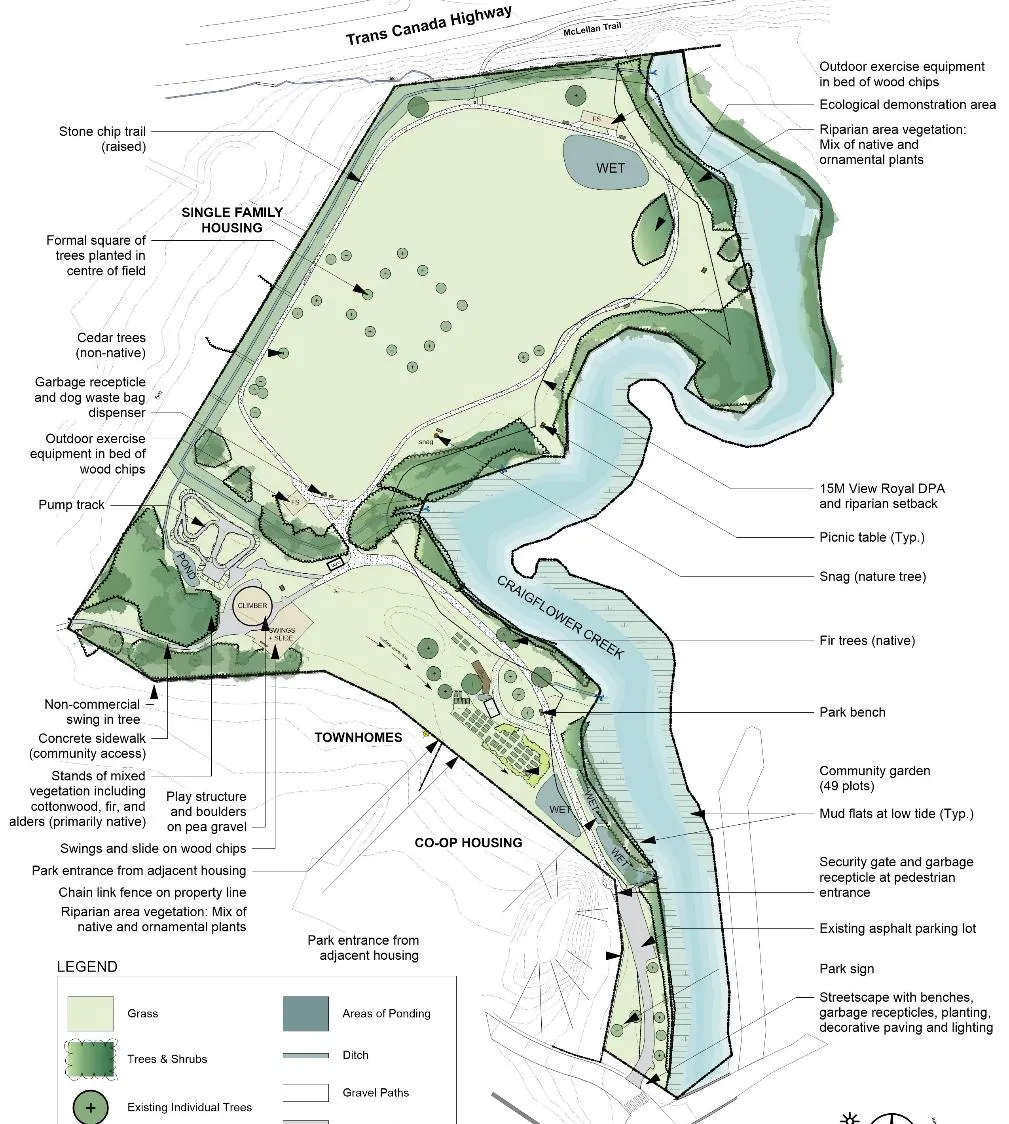
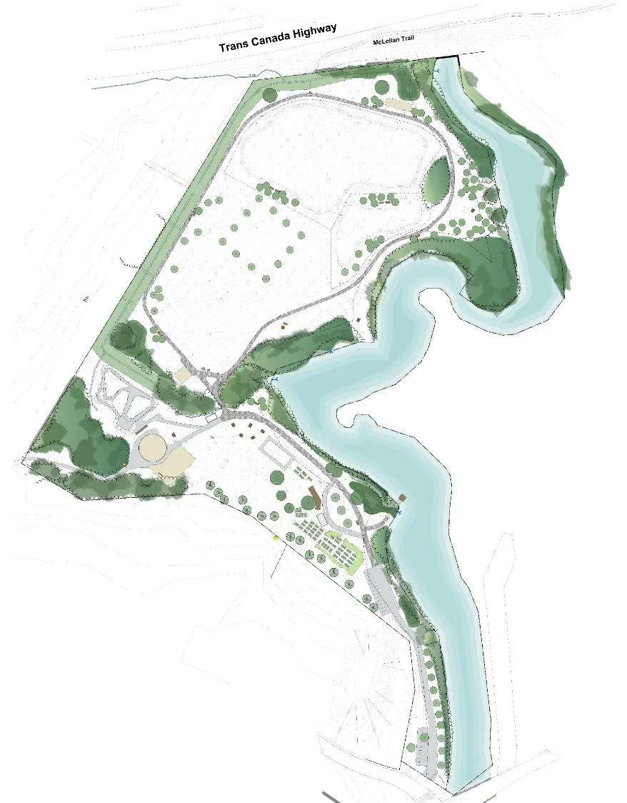
Plan view map showing the existing conditions of View Royal Park
Map Labels
Trans Canada Highway
McLellan Trail
Stone chip trail (raised)
SINGLE FAMILY HOUSING
Formal square of trees planted in centre of field
Cedar trees (non-native)
Garbage receptacle and dog waste bag dispenser
Outdoor exercise equipment in bed of wood chips
Pump track
POND
Non-commercial swing in tree
Concrete sidewalk (community access)
Stands of mixed vegetation including cottonwood, fir, and alders (primarily native)
Play structure and boulders on pea gravel
Swings and slide on wood chips
Park entrance from adjacent housing
Chain link fence on property line
Riparian area vegetation: Mix of native and ornamental plants
TOWNHOMES
CO-OP HOUSING
CRAIGFLOWER CREEK
Ecological demonstration area
15M View Royal DPA and riparian setback
Picnic table (Typ.)
Snag (nature tree)
Fir trees (native)
Park bench
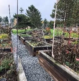
Community garden (49 plots)
Mud flats at low tide (Typ.)
Security gate and garbage receptacle at pedestrian entrance
Existing asphalt parking lot
Park sign
Streetscape with benches, garbage receptacles, planting, decorative paving and lighting
Page 148–157
Questionnaire Results
March 3rd 2020
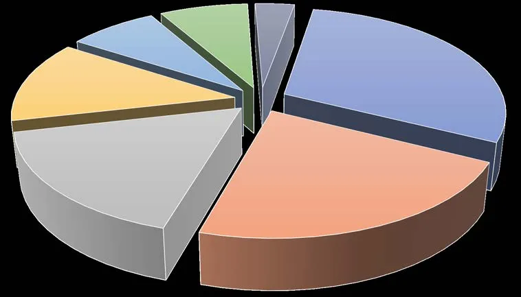
What Park Users Love
3D pie chart showing what features park users love
Feature
Percentage
Pump Track
35%
Dog Park
26%
Playground
20%
Community Garden
15%
Walking Trail
9%
Openness
9%
All Components
4%
Suggested Changes (10 Years)
3D pie chart showing suggested changes for the park over 10 years
Suggested Change
Percentage
Provide Washroom
22%
Expand / Improve Parking
20%
Drinking Fountain
18%
No Changes
15%
Covered Picnic Area
13%
Splash Pad
11%
Restrict Dogs (Creek)
11%
Add Lighting
6%
Pave Trail
4%
Restrict Bikes (Dog Area)
4%
Improve Sound Barrier
4%
Expand Bike Park
4%
Page 148–157
TOVR Survey Results
March 3rd 2020
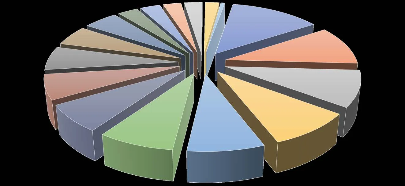
Park User Recommendations for the Future
3D pie chart showing park user recommendations for the future
Recommendation
Percentage
Trees
45%
Washroom Facilities
35%
Naturalized Spaces
32%
Fenced Dog Park
31%
Additional Walking Paths
27%
Pathway Lighting
27%
Benches and Seating Areas
24%
Picnic areas and Shelter
22%
Expanded Parking
21%
Community Garden
18%
Creek Viewing Access
17%
Interpretive Signage
10%
Bridge across Creek
10%
Bird Blind
9%
Circuit
8%
Dog Agility Course
7%
Public Art (2%)
2%
Page 148–157
Key Survey Response Differences
March 3rd 2020
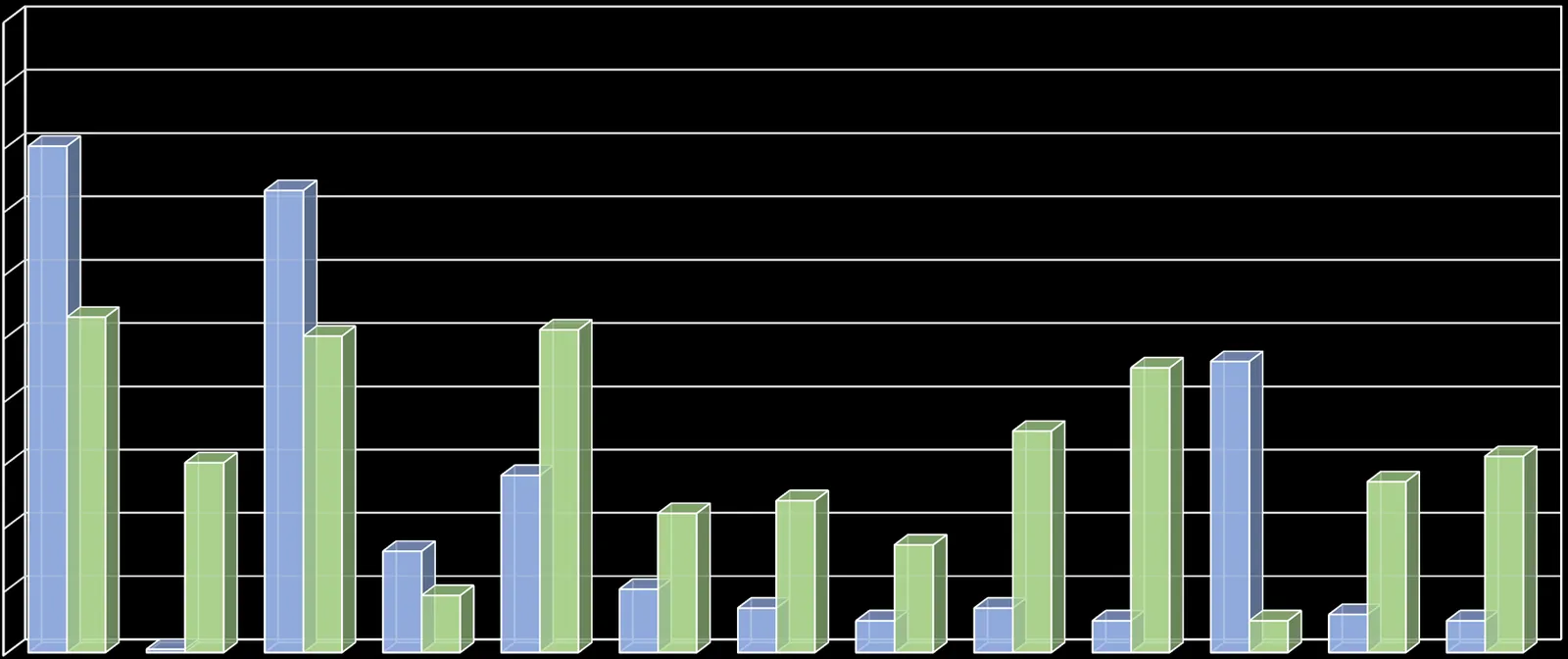
Bar chart comparing key survey response percentages between 2010 and 2020
Category
2010 (%)
2020 (%)
Walking to the Park
80%
53%
Coming by Car
2%
30%
Live within 1km
73%
50%
Family Member with Disabilities
16%
9%
Request for No Changes
28%
51%
Picnicking Opportunities + Shelter
10%
22%
More Seating
7%
24%
Creek Viewing Platform
5%
17%
Permanent Washroom
7%
35%
Tree Planting
5%
45%
Drainage Concerns
46%
5%
Path Lighting
6%
27%
Fenced off-leash dog area
5%
31%
Page 148–157
TOVR Survey Results
March 3rd 2020
Concerns
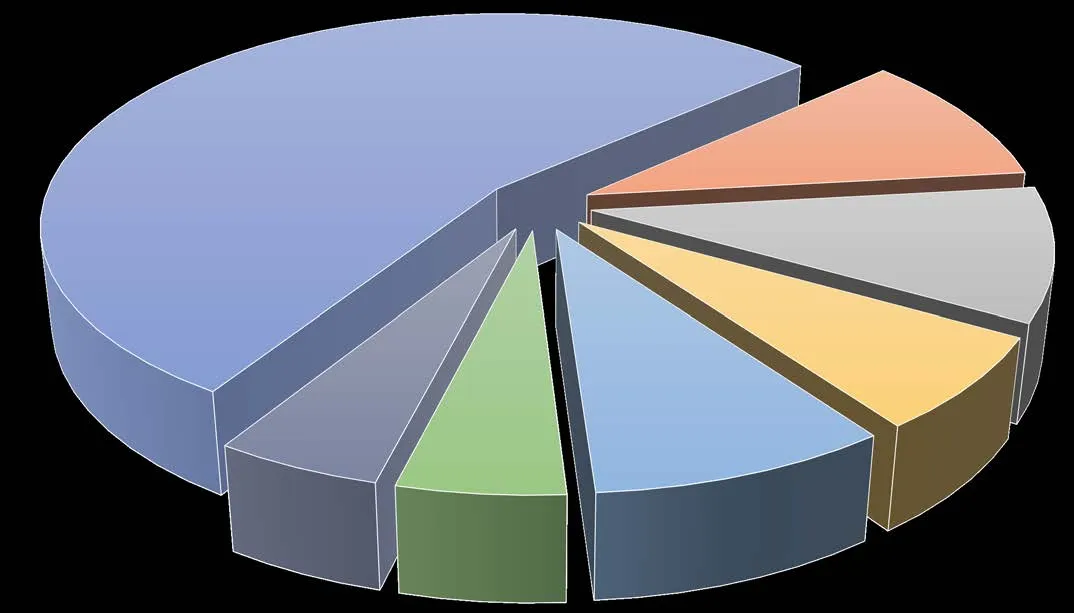
3D pie chart showing park user concerns
Concern
Percentage
No Issues
55%
Inadequate Parking
10%
Irresponsible Dog Owners
10%
No Proper Washroom
7%
Uncontrolled Dogs
7%
Poor Drainage
5%
Other*
5%
*Other (1-5%):
Gravel paths not accessible
Pump track not well designed
No lighting
Security
Lack of wildlife / creek protection and restoration
Not enough trees / shade
Parking on residential streets
Underutilized field
Overdevelopment
Maintenance concerns
Not enough garbage receptacles
Highway noise
Drinking Fountains
Insufficient seating and shelter
Page 148–157
Major Features of the 2020 Plan
March 3rd 2020
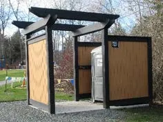
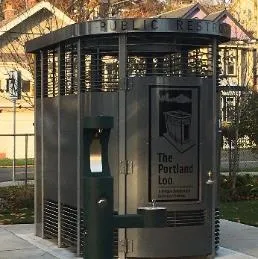
Installing a Permanent Washroom Photo of a portable washroom structure within a permanent wooden enclosure
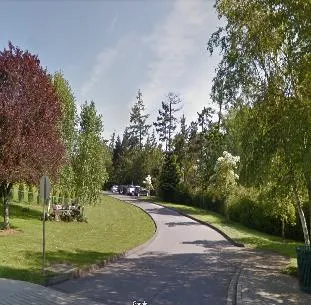
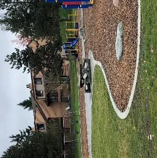
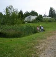
Parking Improvement and Expansion Photo of an existing paved path and park trees
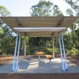
Additional Seating and Picnic Areas Photo of a park picnic table area
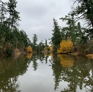
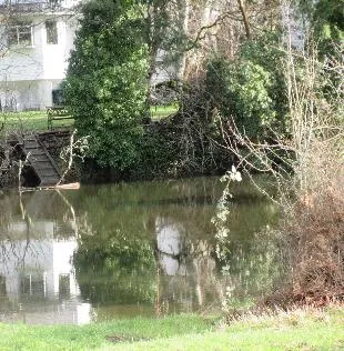
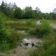
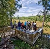
Adding a Elevated Viewing Platform Photo of Craigflower Creek
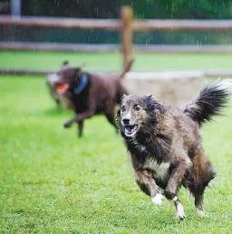
Creating an Designated Off-Leash Area
No Playground Improvements
No Changes to Community Gardens
No New Bridge
Page 148–157
Natural Features / Sustainability Strategies
March 3rd 2020
Plan map highlighting natural features and sustainability strategies
Community Importance Ratings
Very Important
78% bird & wildlife habitat
75% fish habitat
67% shoreline & riparian vegetation
65% invasive species management
59% on-site stormwater management
57% building resilience to climate change
56% expanding the urban forest
48% expanding areas of native vegetation and habitat
Somewhat Important:
44% expanding areas of native vegetation and habitat
38% expanding the urban forest
37% on-site stormwater management
34% building resilience to climate change
30% invasive species management
28% shoreline & riparian vegetation
22% fish habitat
21% bird & wildlife habitat
Not Important
9% building resilience to climate change
8% expanding areas of native vegetation and habitat
6% expanding the urban forest
5% invasive species management
4% shoreline & riparian vegetation
4% on-site stormwater management
3% fish habitat
2% bird & wildlife habitat
Map Callouts
Photo of constructed wetlands Constructed Wetlands
Photo of tree and shrub planting Tree / Shrub Planting
Photo of riparian area vegetation Expansion of Native Riparian Planting
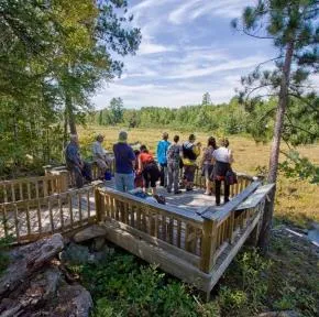
Viewing Platform
Constructed Wetlands
Existing Ditch
Outlet Pipe
15m Riparian Setback
Existing Trees
Page 148–157
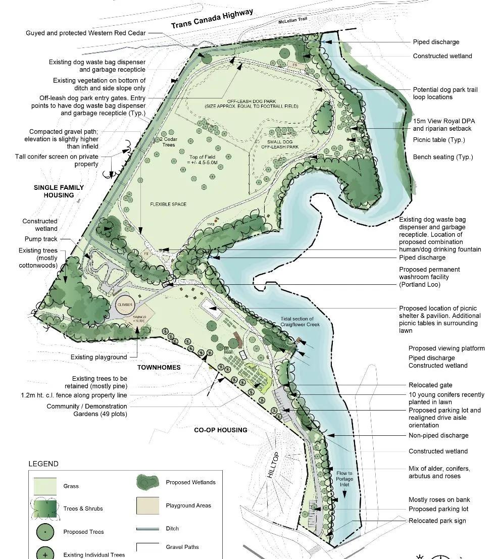
15 Year Vision Plan
March 3rd 2020
Comprehensive 15 Year Vision Plan map for View Royal Park
Vision Plan Features
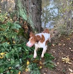
Photo of dogs in an off-leash area Designated Off-Leash Dog Park
Photo of a dog at a water station Dog water fountain/station
Photo of a person playing frisbee Flexible space for play
Elevated viewing platform
Permanent washroom facility
Proposed picnic shelter and pavilion
Bench seating
Proposed parking lot expansion
Additional picnic tables
Relocated park sign
Page 148–157
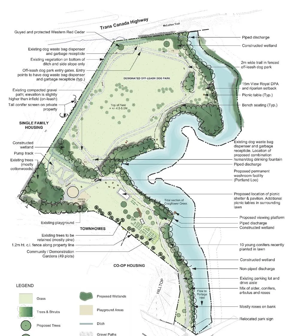
Amended 15 year Plan
Amended 15 Year Plan map showing revisions to the previous vision plan
Plan Revisions
remove parking after bollards
double trail and fencing around dog off leash area
bike parking near pump track
benches and viewing areas near pump track
permanent washroom
slight increase in garden beds closer to parking area