This site is in beta — data may be incomplete and features are still being added.
Council Meeting/Documents/Subject Property Map - 14 Jedburgh Rd
Appendix

Subject Property Map - 14 Jedburgh Rd

July 5, 2016Page 441 section

Location map for the proposed subdivision at 14 Jedburgh Road.

8.1.c) Development Variance Permit No. 2016/07 - 14 Jedburgh Road
Bordered by Island Highway and Jedburgh Road

Subject Property Map - 14 Jedburgh Rd
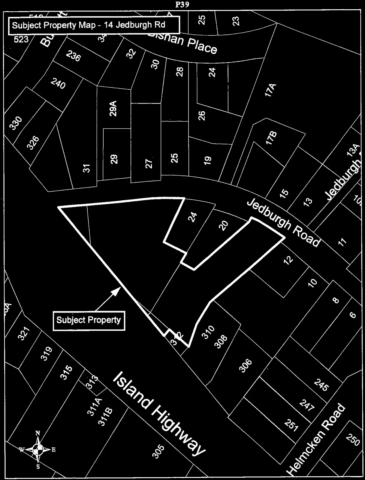
Property map highlighting the "Subject Property" at 14 Jedburgh Road with a thick black outline. The map shows surrounding lots and streets, including Island Highway, Jedburgh Road, Helmcken Road, and Shan Place, and includes a compass rose indicating North.
Page 44

Document Images

(1)
Document image
Extracted from: 2016 07 05 Council Agenda - Pdf